


High-Water at Hammerschmidt Falls
Buffalo National River, Arkansas
Hammerschmidt Falls Prints available
I've been to Hammerschmidt Falls (named after John Paul Hammerschmidt, an Arkansas Congressman who played a HUGE role in getting the Buffalo River designated as America's first National River!) countless times over the years. It's an easy hike (roughly one-mile roundtrip) and often seems like a good option for a lazy day hike. The thing is that the falls (located on the upper-most section of the Indian Creek Drainage at high elevation) take a considerable amount of rainfall to get Hammerschmidt flowing to its full potential. I'm talking multiple inches of rainfall over a twenty-four-hour timespan kind of considerable rainfall, the type of rain that puts the Buffalo National River into flood stage.
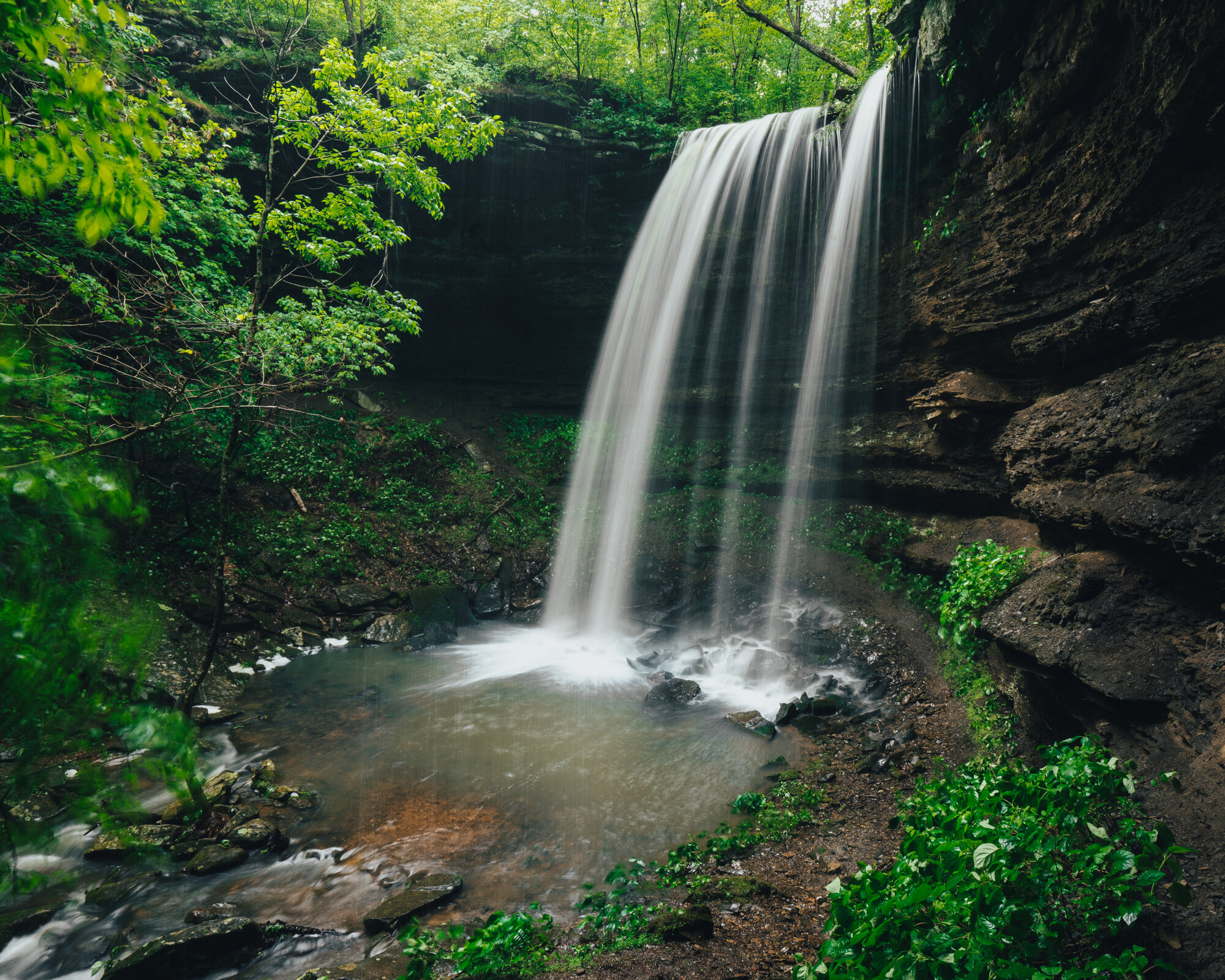
On Saturday, after days of light rainfall, I went out to the falls with a couple of friends to see how it was flowing. It looked the same as usual, one shoot of water pouring off the left side of a jagged point in the middle of the falls (still beautiful but not what I was hoping for). That evening and into Sunday morning, about two inches of rain fell around the Ponca area sending the Buffalo River into flood stage, and I hoped this was my chance to see the 43' Hammerschmidt Falls in all its glory.
Below is a comparison of the flow at Hammerschmidt before and after a couple of inches of rain:
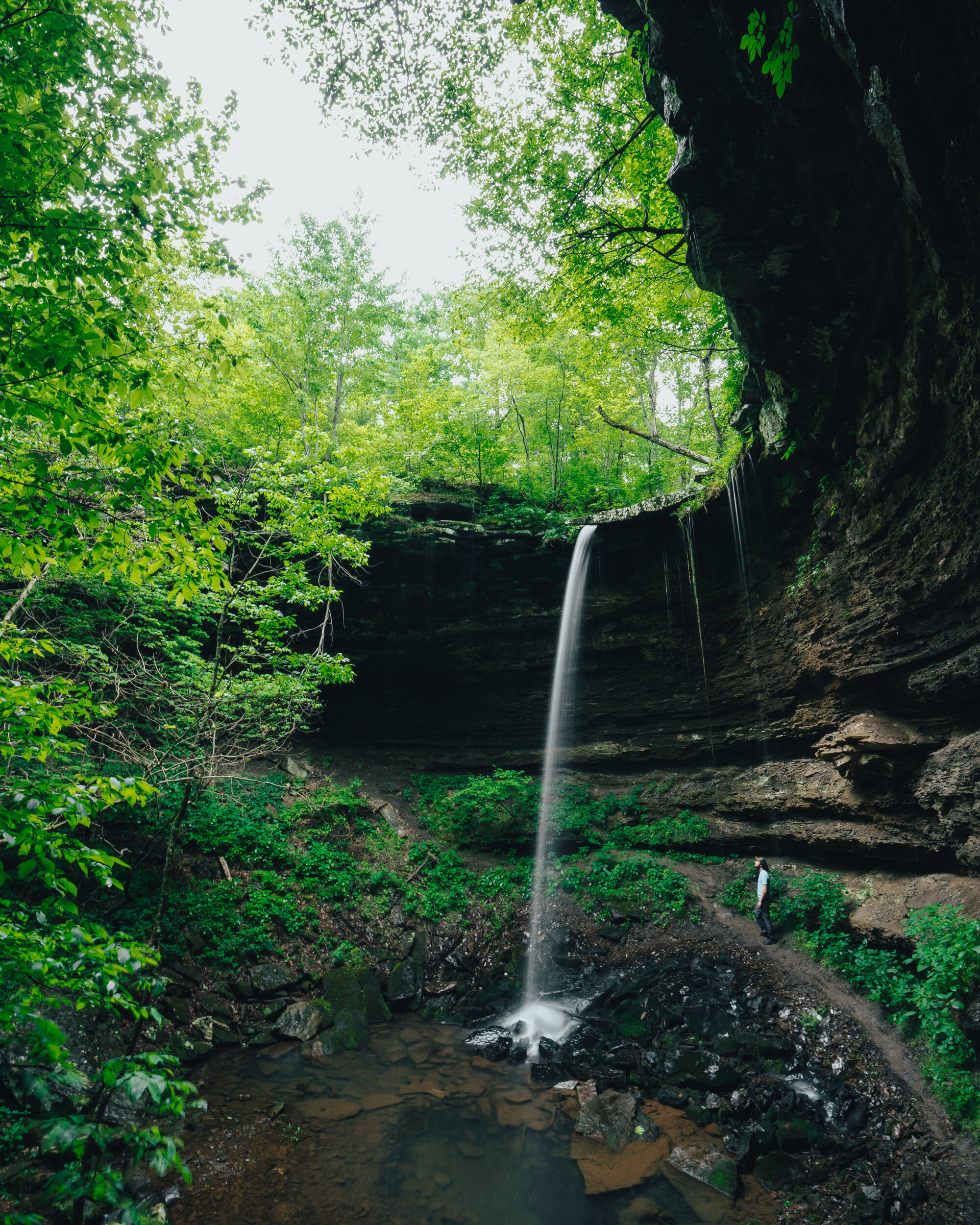
Hammerschmidt Falls after days of light rain w/ Justin for scale.

Hammerschmidt Falls after an evening of flooding rains w/ Tyler for scale.
Sunday morning, we parked at the top of the road to Horseshoe Canyon Ranch, next to the $5.00 firewood stacks, crossed HWY 74, and started down the muddy road across from where we parked.

$5.00 firewood at the entrance to Horseshoe Canyon
I'm sure some people have vehicles capable of driving this road, but it's a muddy, rutted mess, and I would suggest not attempting to take a car down it. The hike is short enough as it is. We scrambled around the muddy puddles filled with the overflow from the private pond that sat next to the old road, made our way down along the red clay gravel, exited the forest into an opening, clear-cut for the power lines overhead, and then back into the woods.
The creek that feeds Hammerschmidt was running over the old road. It was higher than I had ever seen it flowing over the road, which made me extremely excited for what we would see just 100 yards downstream (the road continues into the forest, but to reach the falls, you'll turn left instead of crossing the stream and follow the drainage downstream).

High flow along the stream that feeds Hammerscmidt Falls

The well worn trail down to Hammerschmidt Falls flowing with overflow from nearby stream.
The little well-worn trail that hikers have beaten next to the creek was a stream in its own right, and I splashed quickly through it, only pausing to keep my balance along the slick rocks scattered around the top of the falls. Hammerschmidt was roaring, and as I made my way to the left of the falls (to get to a steep but accessible way to get to the bottom of the falls), I could see the full white veil of Hammerschmidt falling through the thick shroud of dark green late spring leaves….it was flowing just as I had hoped it would be!
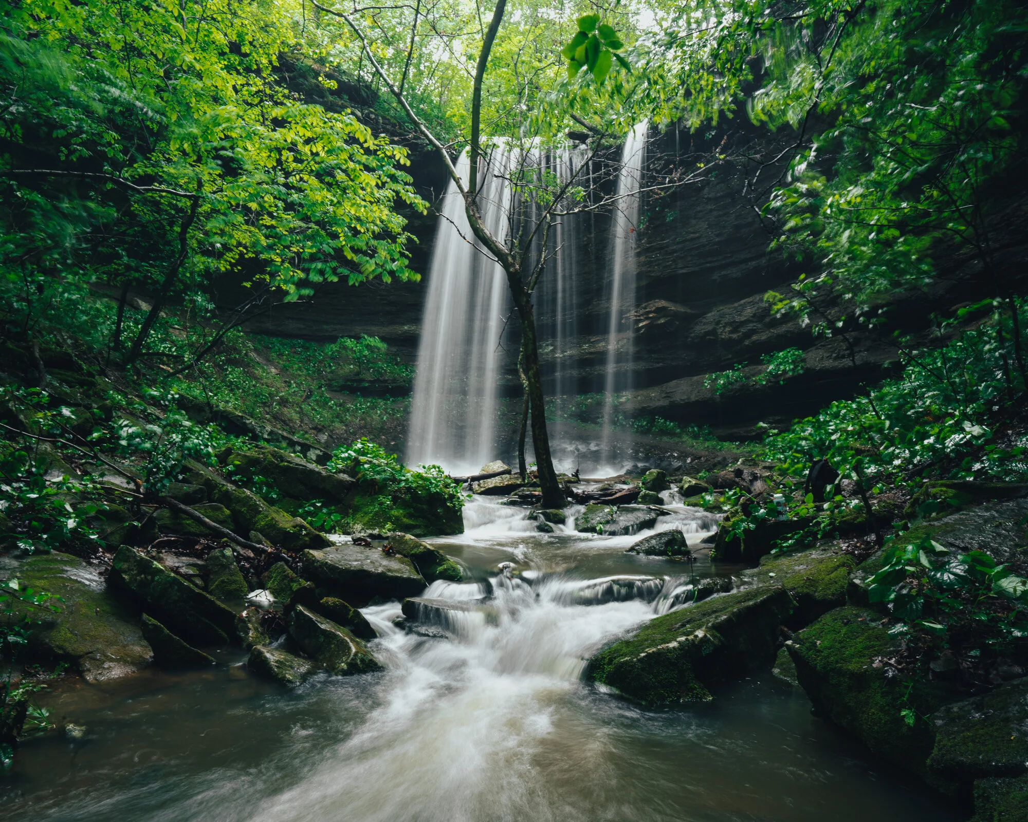
The white veil of Hammerschmidt falling through a shroud of dark green late spring leaves

The cascades above Hammerscmidt Falls are beautiful in their own right.

The Basics
Difficulty: Easy Length: 1-Mile-ish Roundtrip Elevation: 150 Feet


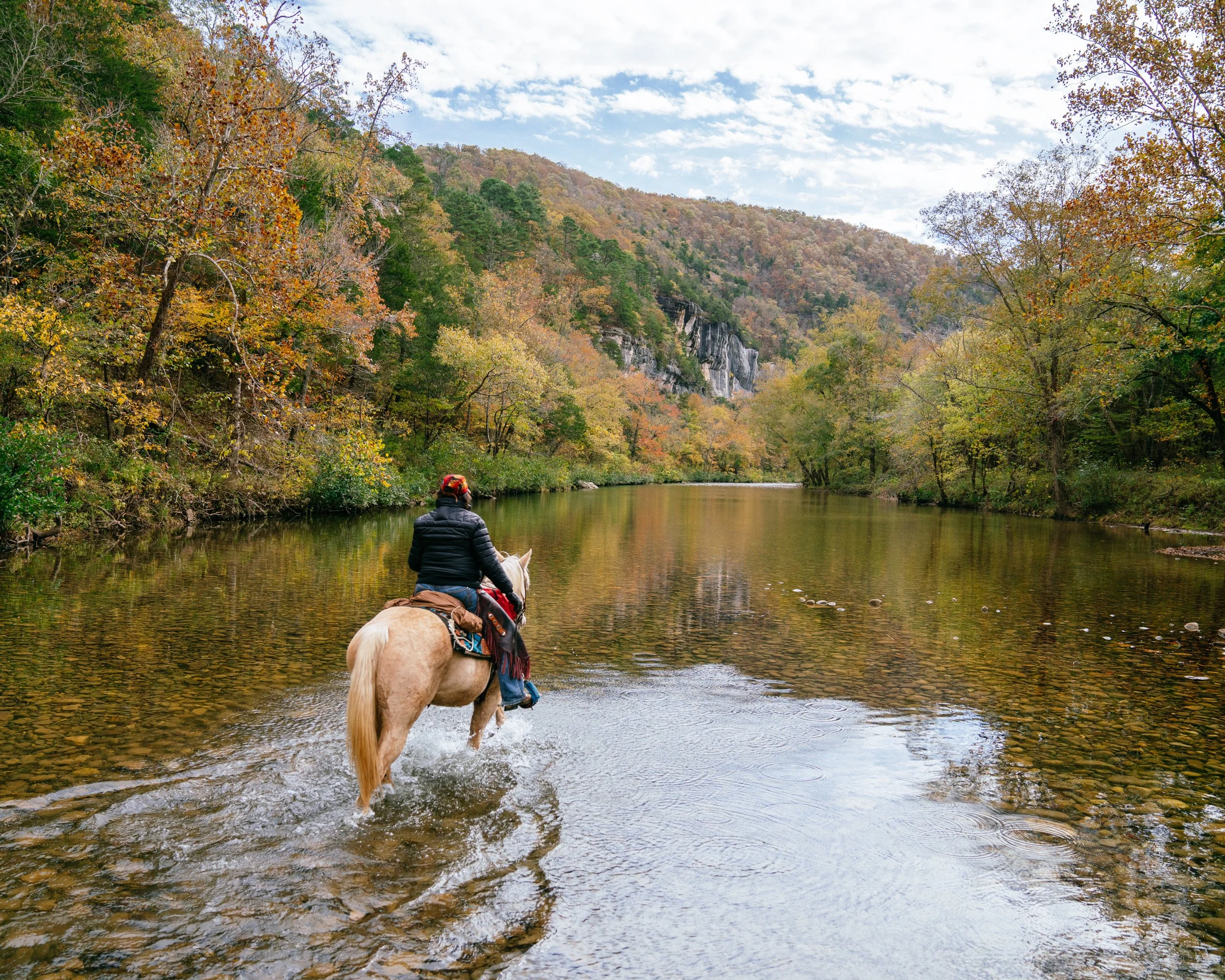
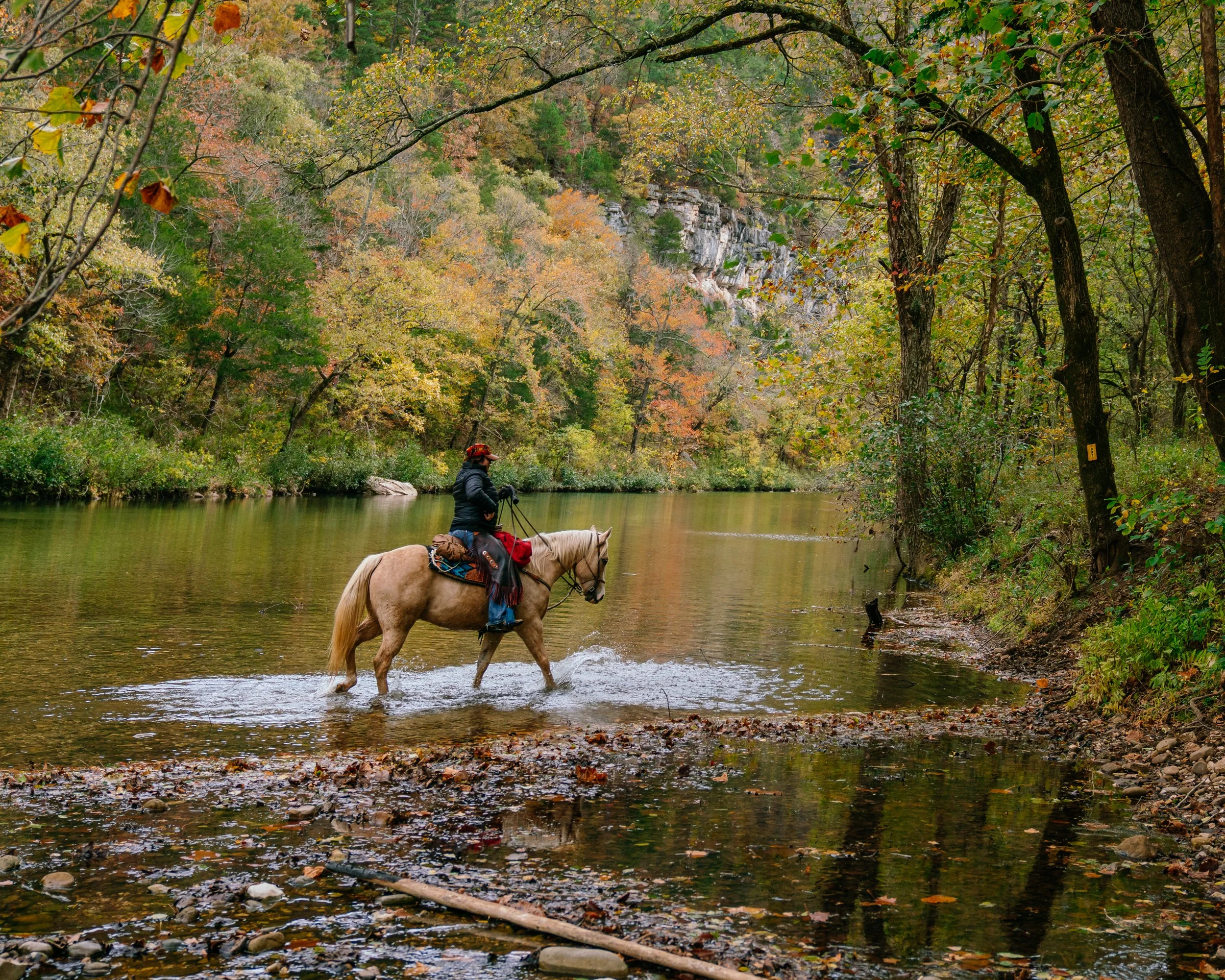


Explore the scenic Lost Valley Trail to Eden Falls in Buffalo National River, Arkansas. Discover hiking tips, trail highlights, and stunning photography.