

Pea Ridge National Military Park, nestled in the Ozark Mountains of Arkansas, offers a unique opportunity to explore a significant battleground of the American Civil War. A scenic drive through the park is a fantastic way to immerse yourself in history while enjoying breathtaking natural beauty.

The Drive: A Historical Adventure
The park's driving tour is approximately 11 miles long and takes about 45 minutes to complete. As you wind your way through the park, you'll encounter numerous historical markers, interpretive exhibits, and reconstructed fortifications.

Key Points of Interest:
Elkhorn Tavern: A historic site where Union General James G. Blunt established his headquarters.
Pea Ridge National Battlefield Visitor Center: This modern facility offers informative exhibits, a theater,and a gift shop.
Union and Confederate Battlefields: Explore the sites where the opposing armies clashed, including the infamous "Bloody Corner."
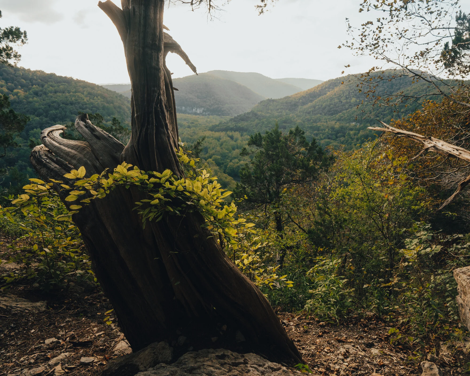
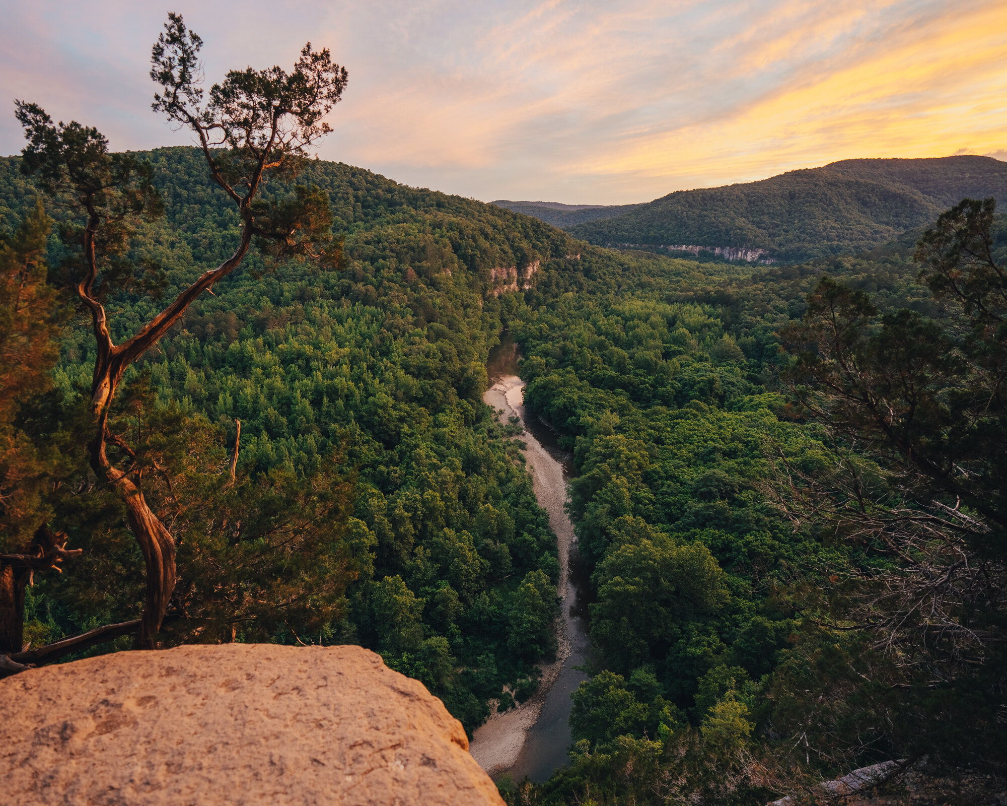
Natural Beauty: Admire the park's diverse landscapes, including rolling hills, forests, and meadows.


Tips for Your Drive:
Plan Ahead: Check the park's website for hours of operation, fees, and any special events.
Wear Comfortable Shoes: You'll likely want to get out of your car and explore some of the trails on foot.
Bring Water and Snacks: The drive can be a bit longer than you might expect, so it's a good idea to be prepared.
Take Your Time: Enjoy the scenery and learn about the history of the battle.


A Memorable Experience
Whether you're a history buff or simply enjoy exploring the outdoors, a drive through Pea Ridge National Military Park is sure to be a memorable experience. As you wind through the park, you'll gain a deeper appreciation for the sacrifices made by the soldiers who fought here over 150 years ago.


Have you visited Pea Ridge National Military Park? What was your favorite part of the drive? Share your experiences in the comments below!


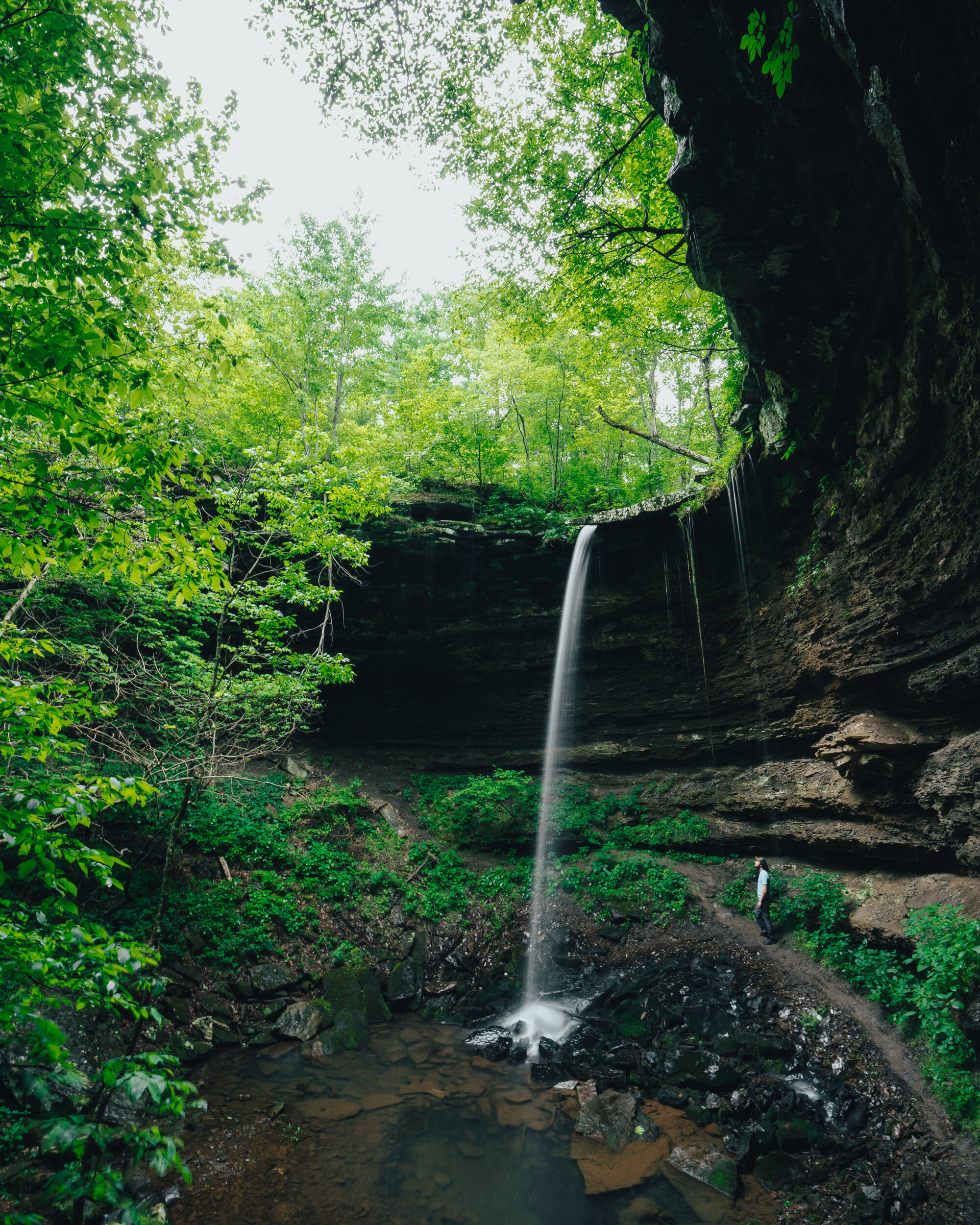


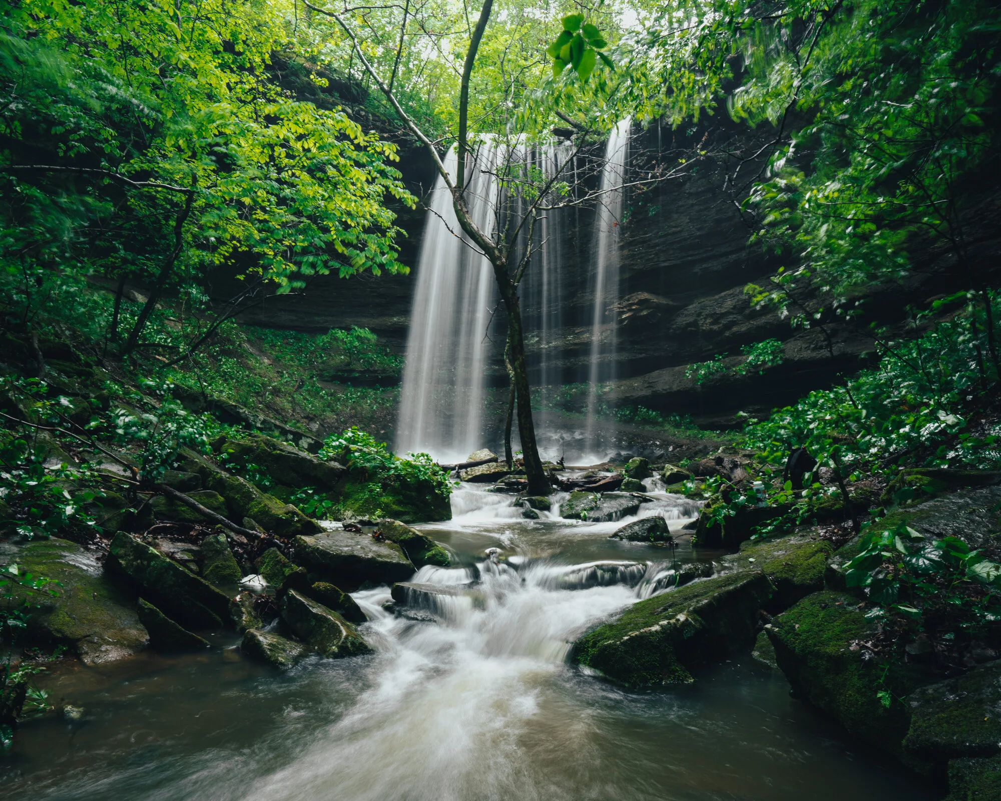


Explore the scenic Lost Valley Trail to Eden Falls in Buffalo National River, Arkansas. Discover hiking tips, trail highlights, and stunning photography.