

HUDSON SHELTER FALLS
Ozark National Forest, Arkansas
If you’re chasing hidden gems in the Arkansas Ozarks, Hudson Shelter Falls rewards you with a unique blend of epic scenery, and easy adventure. Unlike larger, more trodden waterfalls, Hudson Shelter is tucked into a narrow drainage off the side of Hudson Mountain, where cascading tiers of water over a dramatic bluff shelter that makes this spot unforgettable.

THE BASICS
HUDSON SHELTER FALLS TRAIL
Difficulty: Easy • Length: 0.6 Miles • Roundtrip Elevation: 200 ft
Pets: Pets are allowed on leash
Restrooms: There are restroom facilities at the parking area.
Ideal time: Waterfalls in Arkansas are rain dependent so visit after a good rain…Spring is a good time for trip planning
PLEASE PRACTICE THE SEVEN PRINCIPLES OF LEAVE NO TRACE: PLAN AHEAD, STAY ON THE TRAIL, PACK OUT WHAT YOU BRING TO THE HIKING TRAIL, PROPERLY DISPOSE OF WASTE, LEAVE AREAS AS YOU FOUND THEM, MINIMIZE CAMPFIRE IMPACTS, BE CONSIDERATE OF OTHER HIKERS, AND DO NOT APPROACH OR FEED WILDLIFE.

Trail Overview: Quick, Wild & Scenic
This outing is one of the shorter waterfall hikes you’ll find in the Ozarks at roughly 0.6 miles round-trip with about 200 feet of elevation change.
GETTING TO THE HUDSON SHELTER FALLS TRAIL
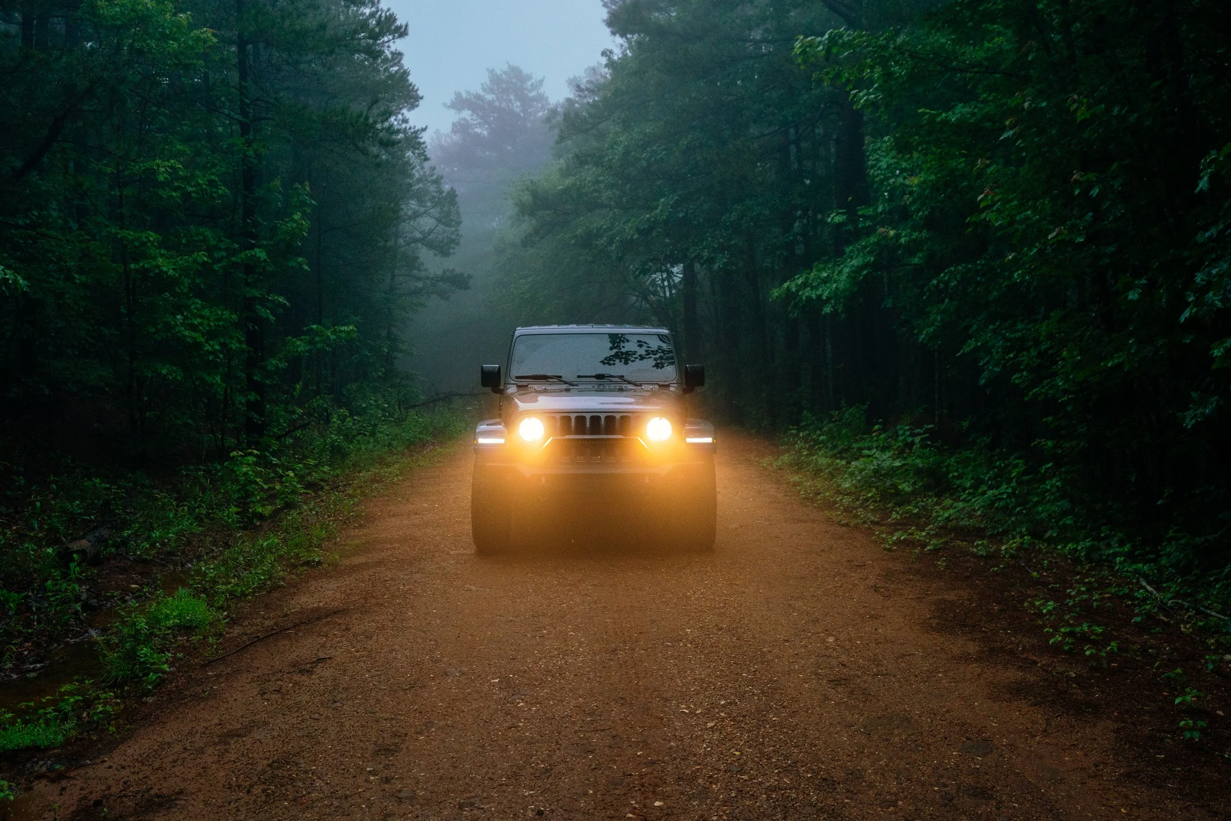
Trailhead & Access: From Arkansas Scenic Highway 7, head toward the small community of Cowell before turning onto forest gravel road FR 1204. After 4.1 miles turn right on 1204B and drive about 500 feet until you see the parking area on the right. You’ll park near an old logging road where an informal path leads down toward the drainage feeding the falls.
PARKING GPS: 35.85403, -93.12625
HIKING THE HUDSON SHELTER TRAIL
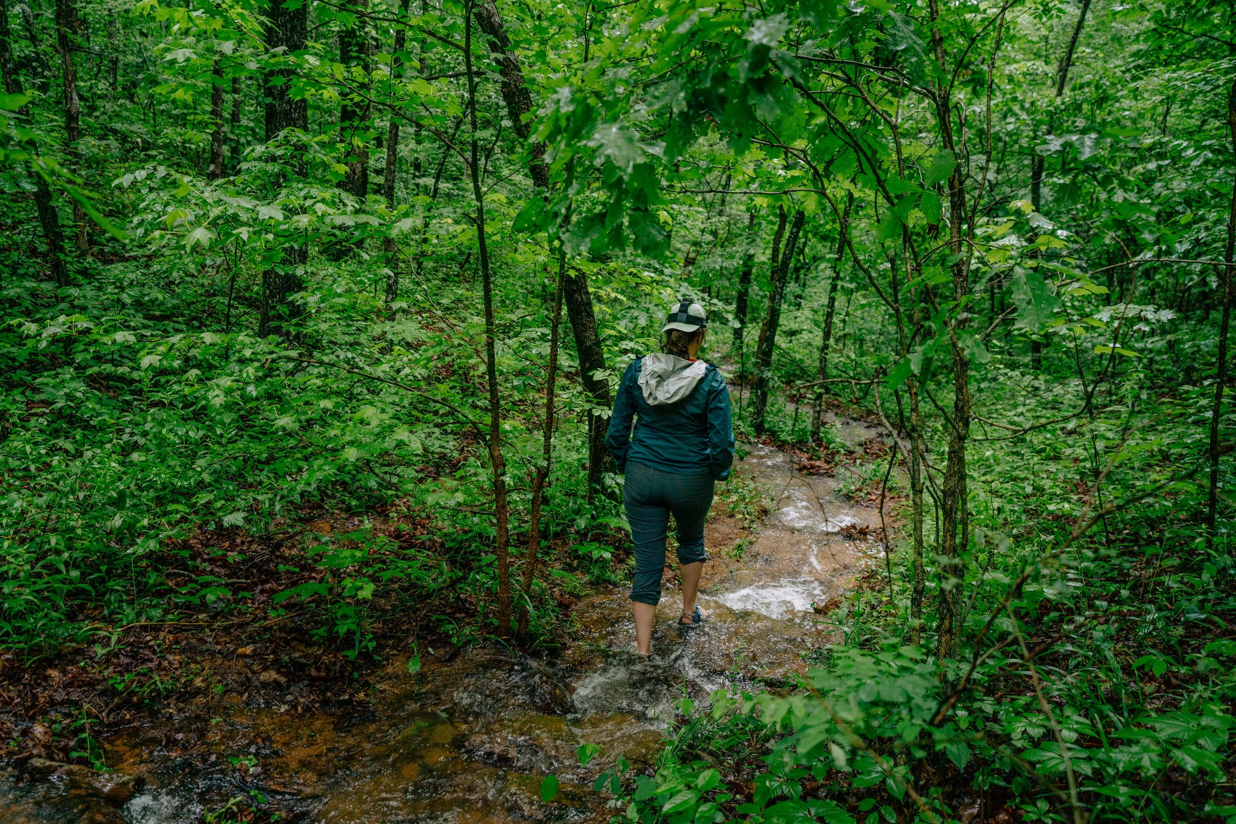
Down to Hudson Shelter Falls: The route isn’t a formal, heavily marked trail, instead, you’ll follow a volunteer-made path that leads you downstream. Pay attention to footing, especially when the ground is wet and mossy.

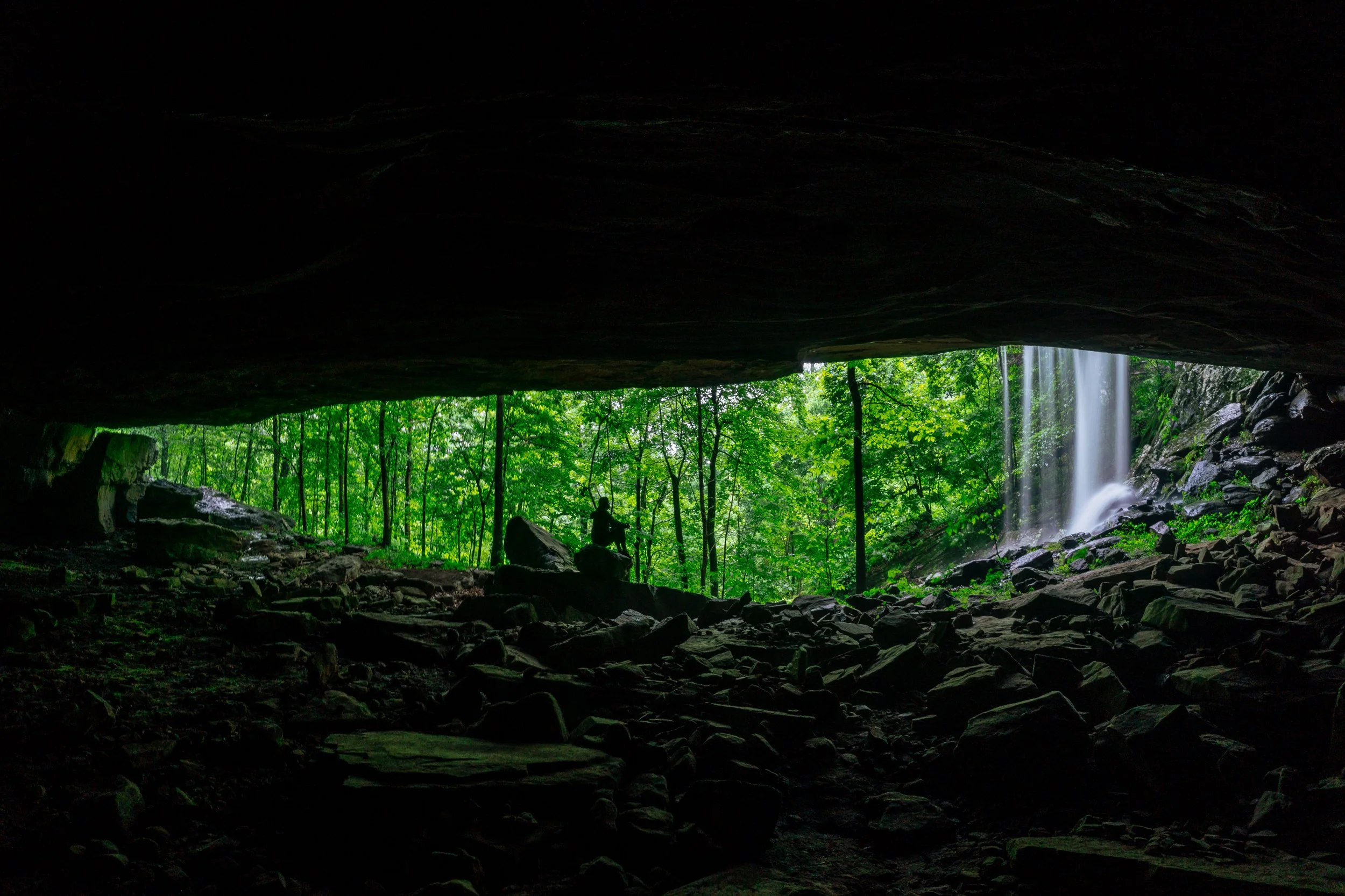
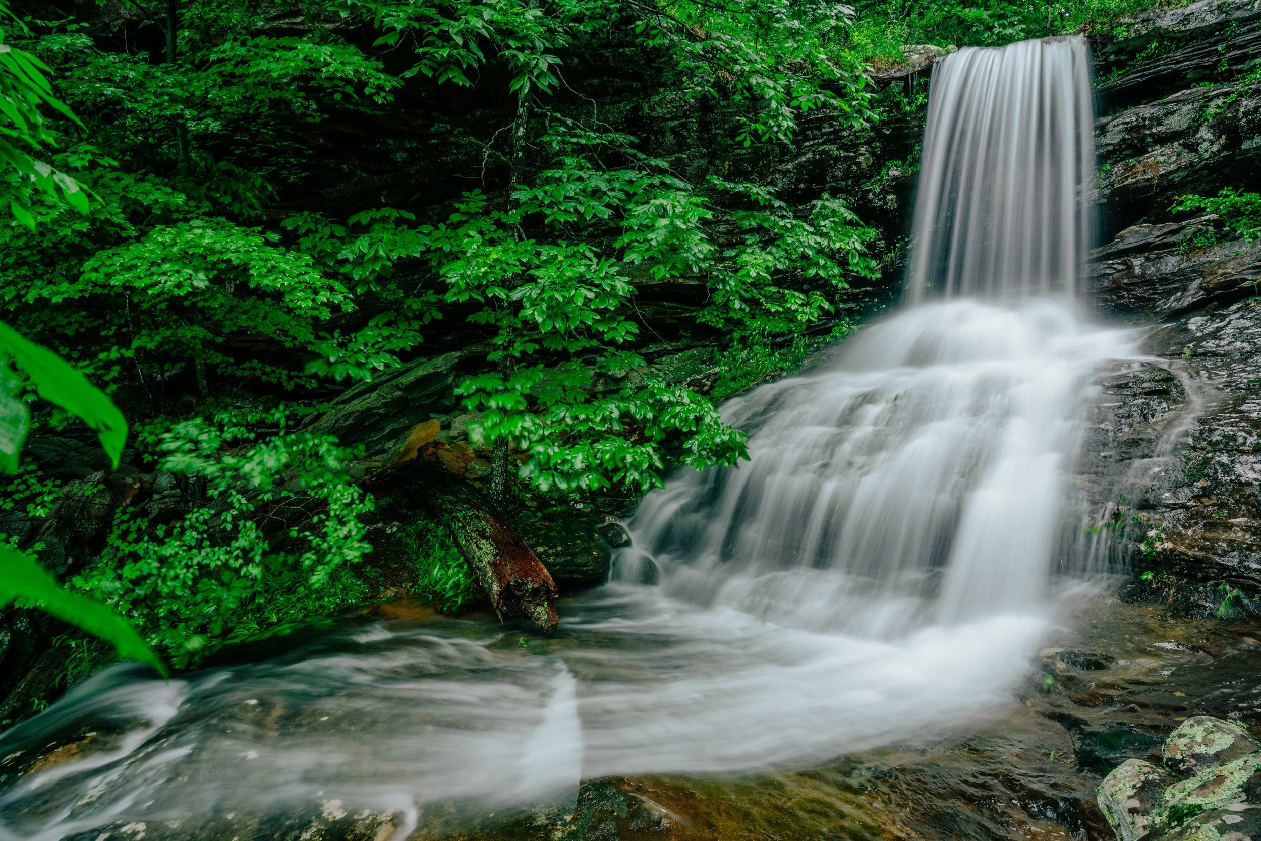
The Waterfall Itself: Hudson Shelter Falls actually comprises of multiple small tiers, with the flow dependent on recent rainfall. After a rain, the creek tumbles over layered rock ledges, and the lower tier spills right at the mouth of the large shelter cave, creating a dramatic, almost mystical setting. USE EXTREME CAUTION IF YOU PLAN TO VISIT THE CAVE SHELTER. You must cross the waterfall pictured below and it is right next to a high drop.
GPS: 35.85148, -93.12411
The Cave Shelter: Once you’ve crossed the falls and scrambled down to reach the bluff shelter, you are in for a treat. A natural amphitheater shaped by eons of erosion and enhanced by cascading water when conditions are right.
