


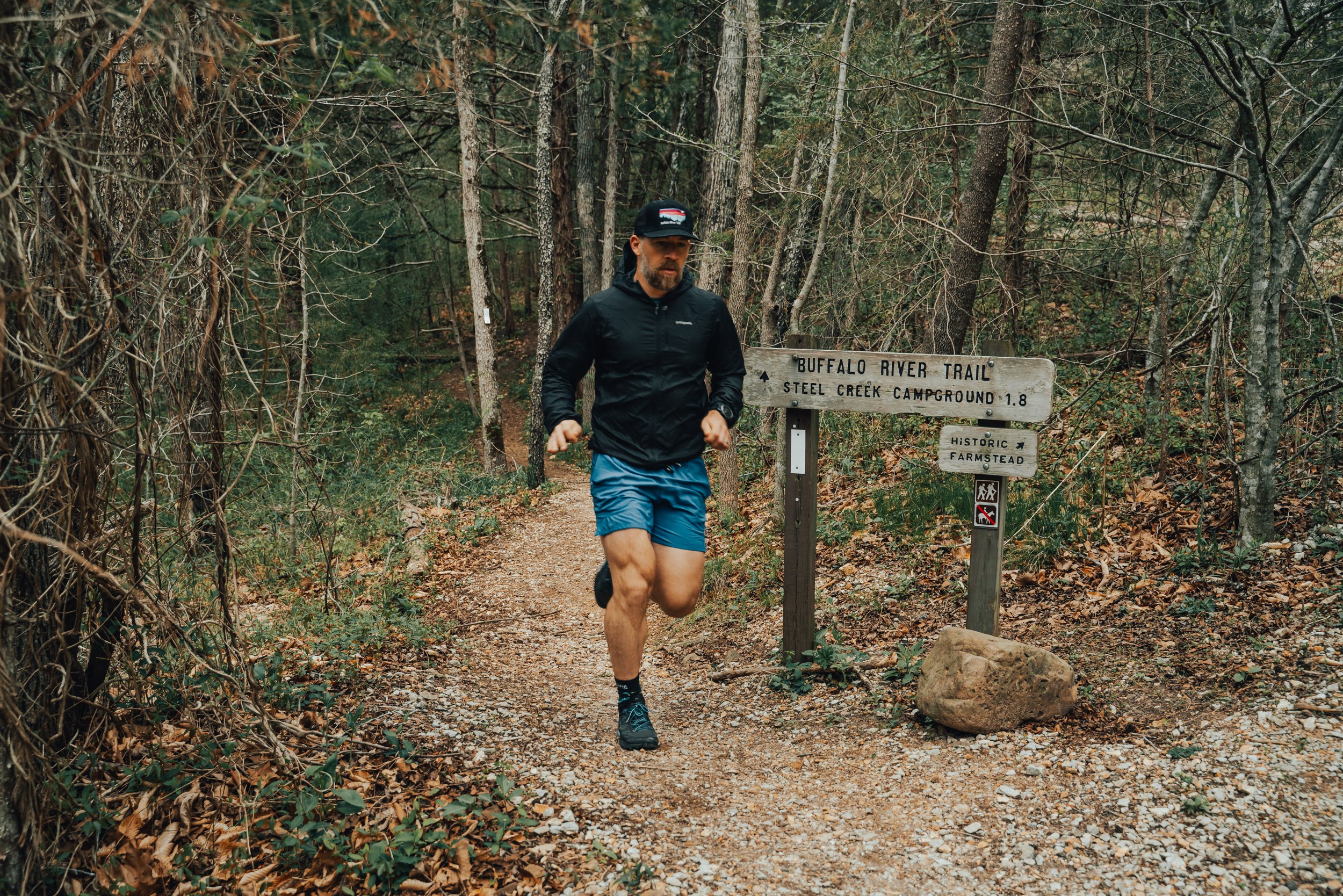
Wildman Twin Falls is one of the hidden gems of the Ozark National Forest in Arkansas. This guide covers everything you need to know for hiking to the scenic & rugged double waterfall, including directions, trail conditions, and tips for the best time to visit.
Explore the scenic Lost Valley Trail to Eden Falls in Buffalo National River, Arkansas. Discover hiking tips, trail highlights, and stunning photography.

One of the largest natural bridges (arches) in the Ozarks found in Alum Cove.
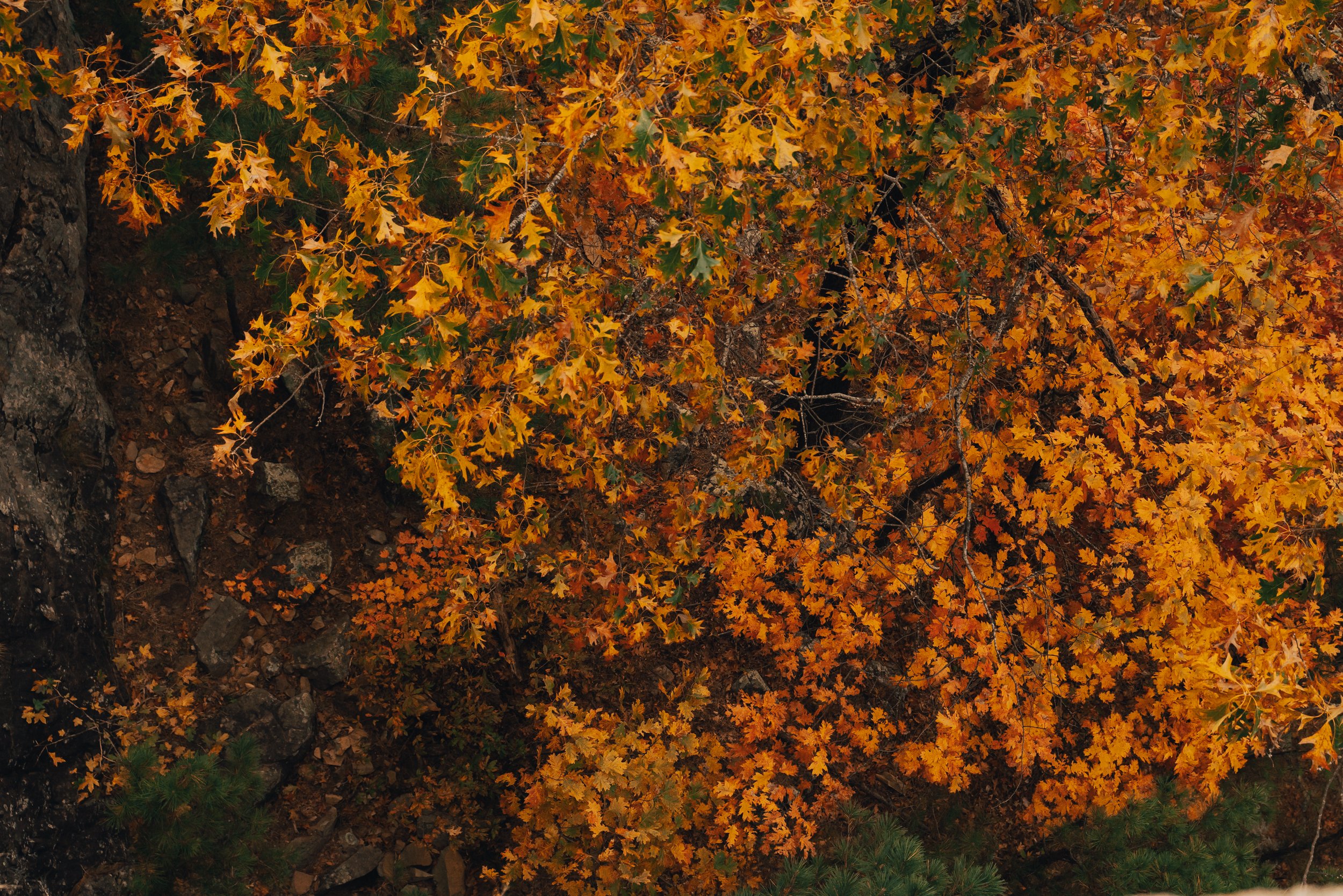
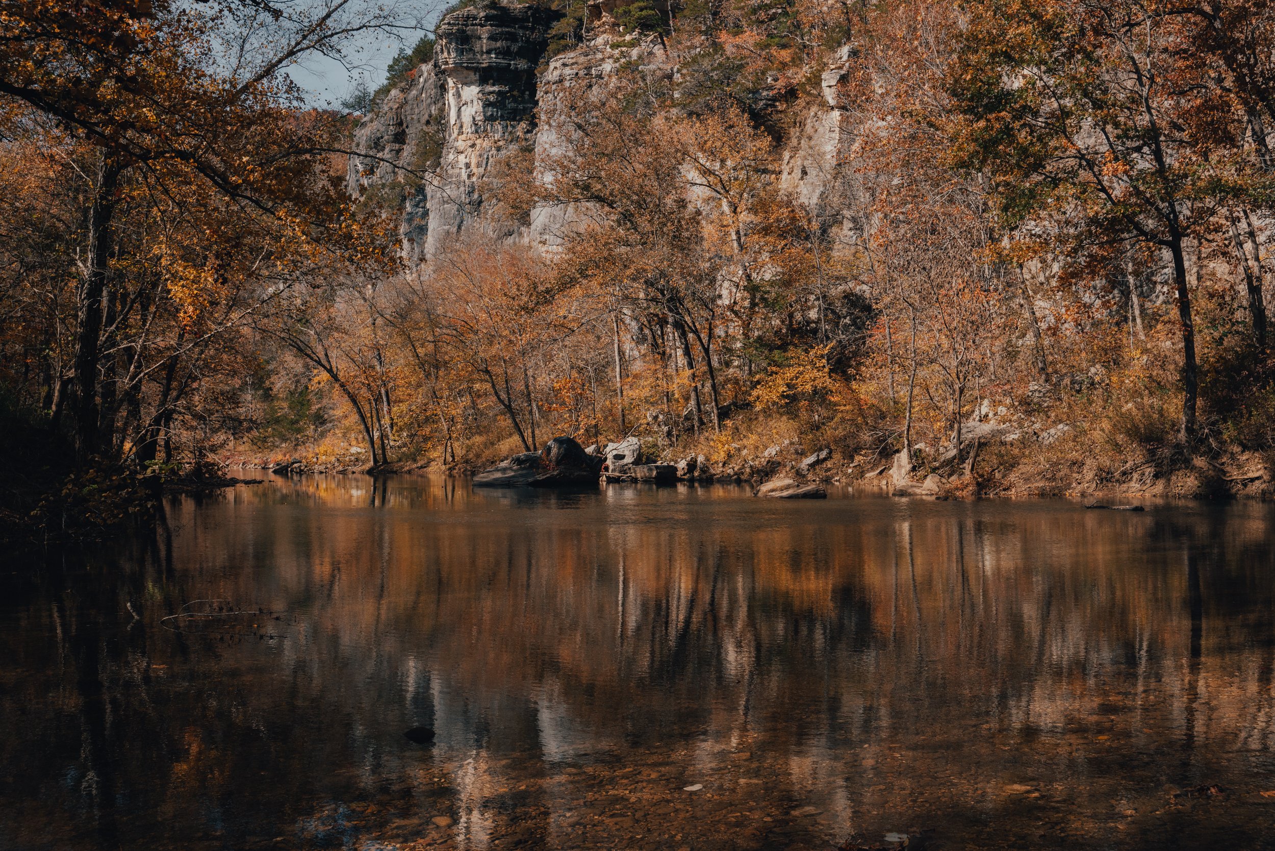
The Ozark National Forest is a true treasure trove of geological marvels, and one of its most extraordinary gems can be found nestled along the slopes of Henderson Mountain, near the charming town of Deer, Arkansas. This remarkable natural wonder goes by the name of Alum Cove Natural Bridge Geological Area, and it proudly showcases one of the largest and most magnificent natural bridges or arches in this region. Spanning an impressive length of 130 feet and boasting a width of 20 feet, this awe-inspiring arch stands as a testament to the passage of time and the ever-changing landscape of the Ozarks. The natural bridge is all that remains of what once was a quartz sandstone cave. Though the cave is long gone, the Alum Cove Natural Bridge continues to capture the imagination of visitors, inviting them to marvel at its beauty and ponder the forces of nature that sculpted such a remarkable formation.

ALUM COVE NATURAL BRIDGE GEOLOGICAL AREA
Difficulty: Easy Length: 1.1 Miles Roundtrip Elevation: 272 ft

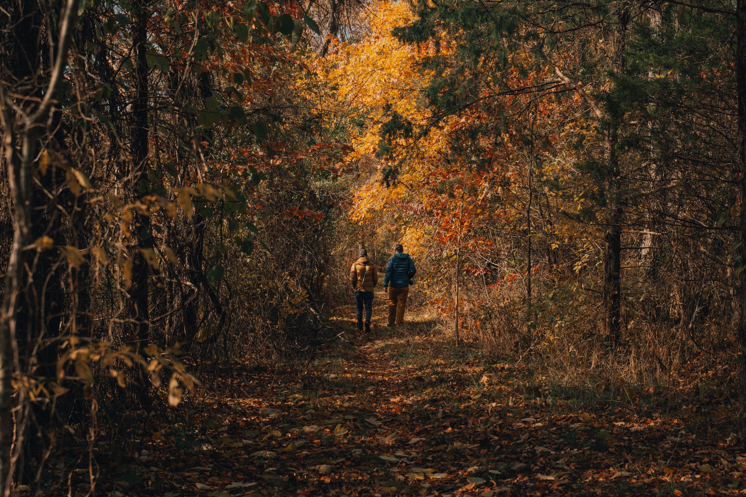
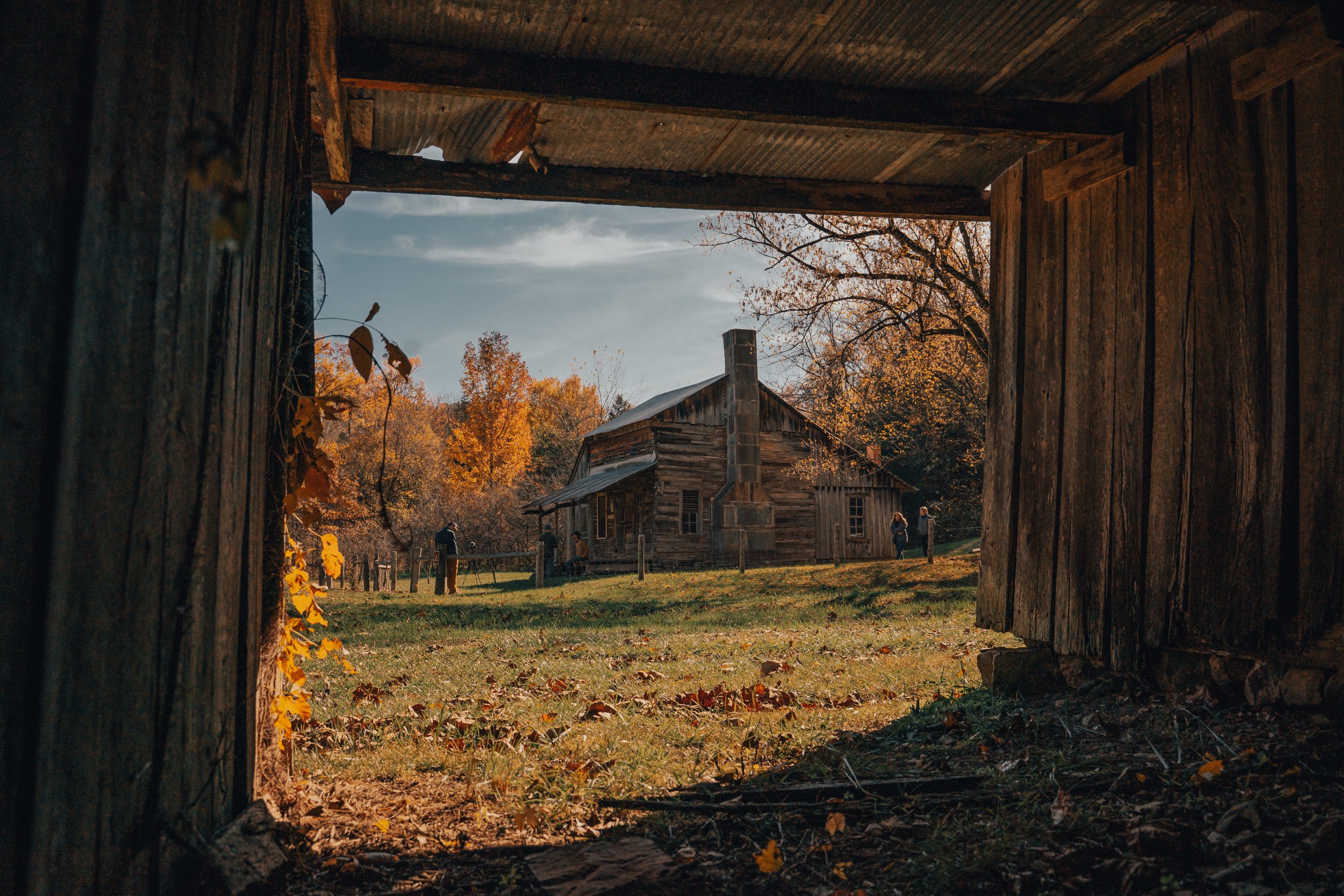
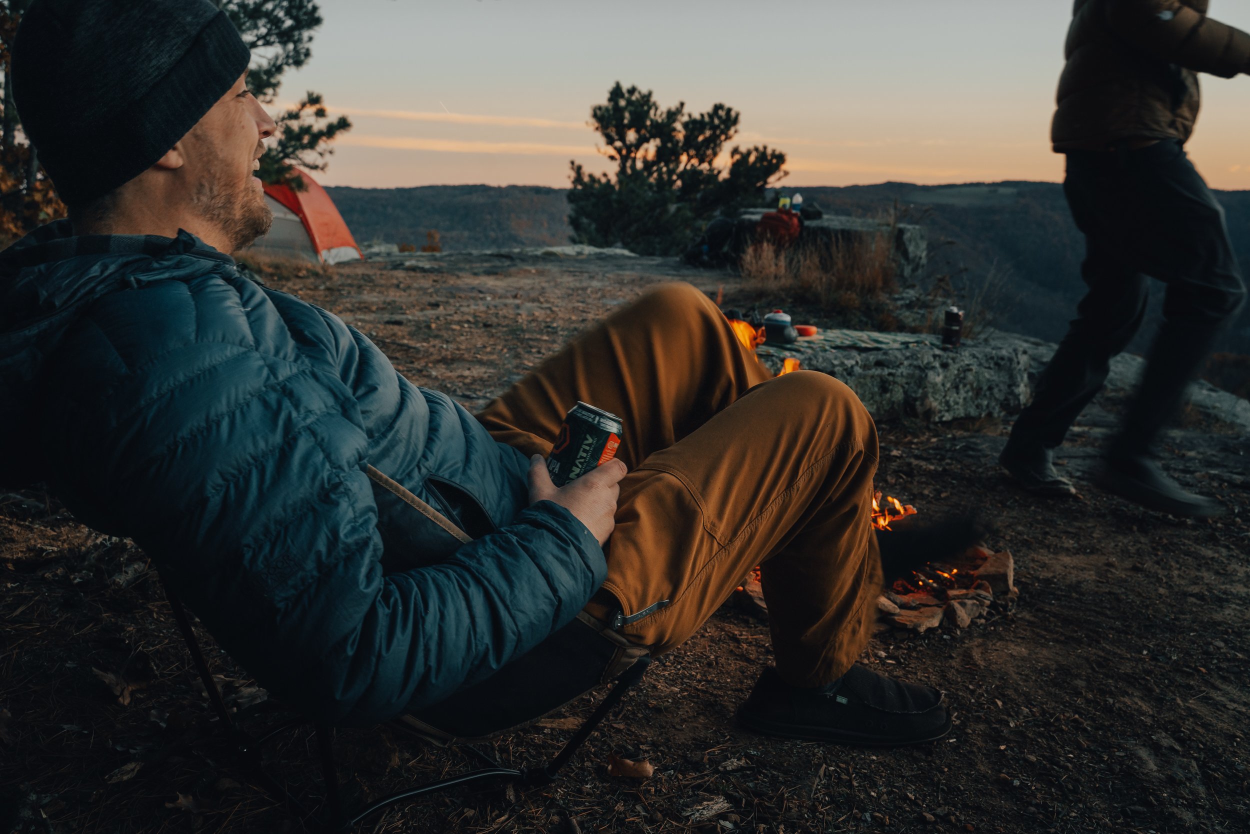
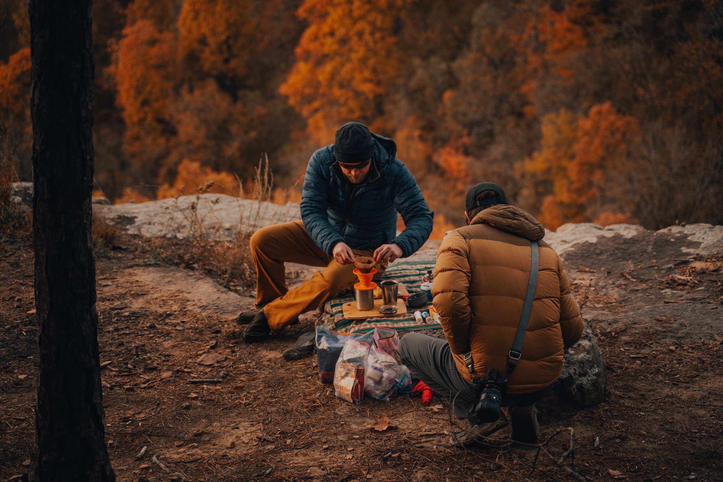
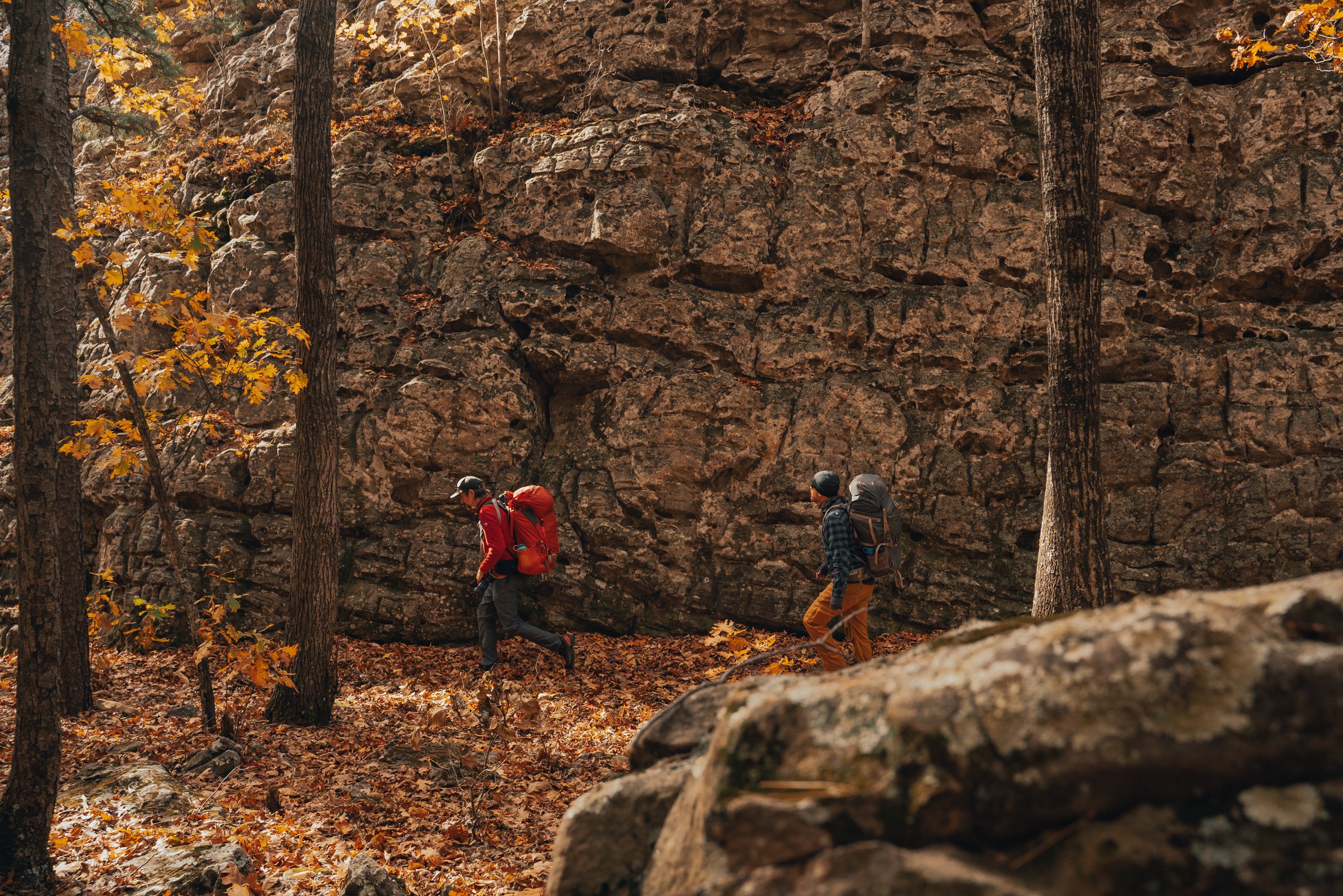
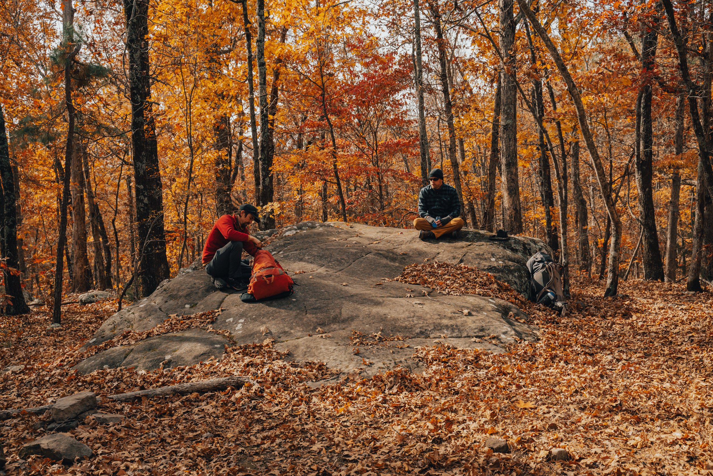
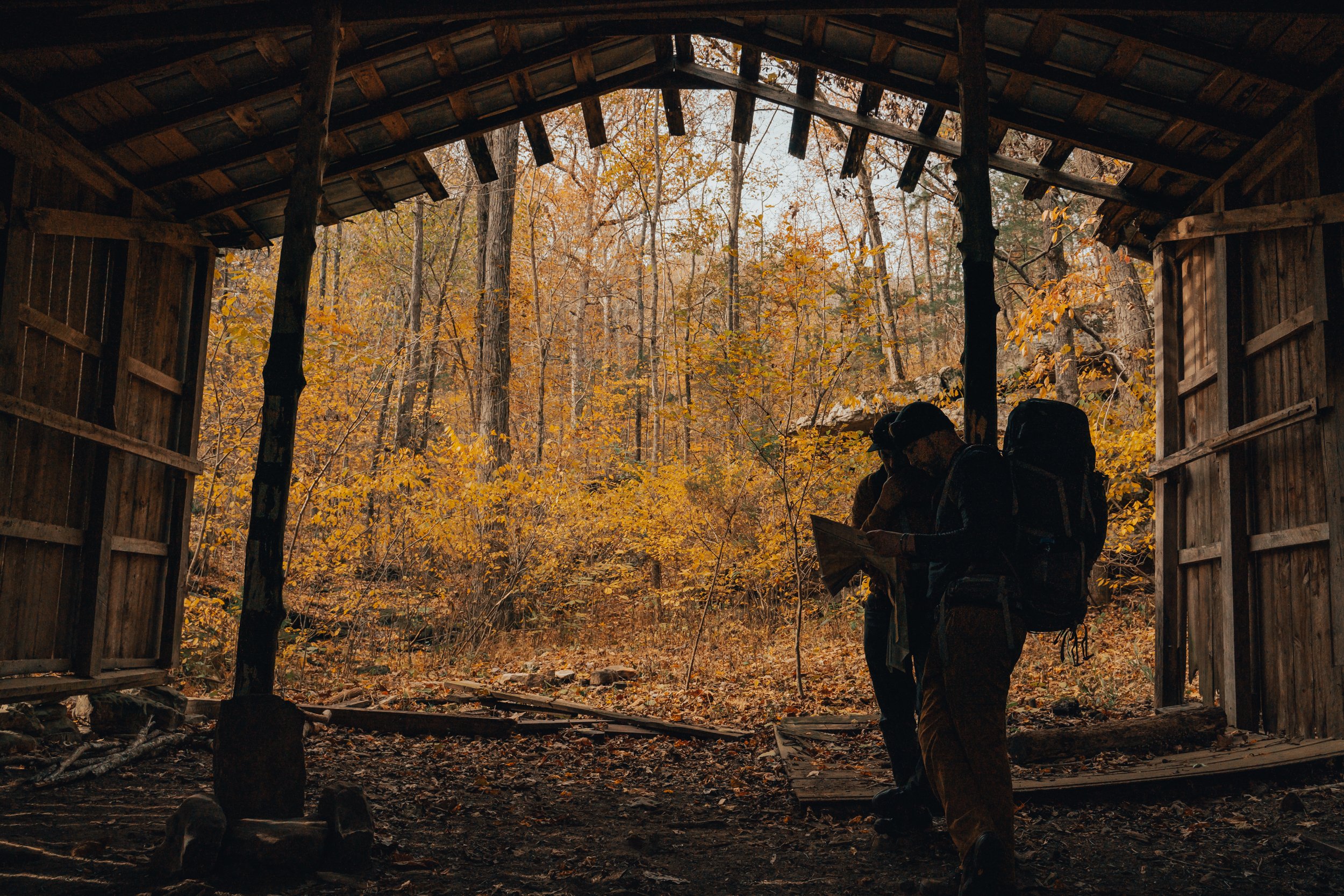
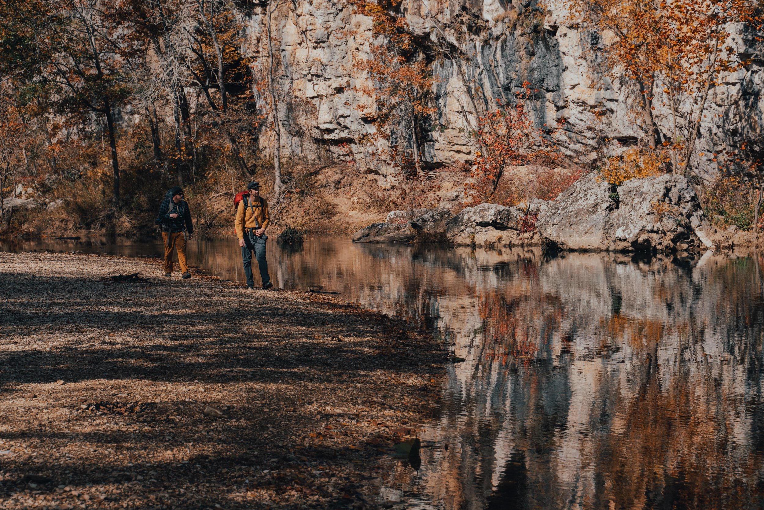
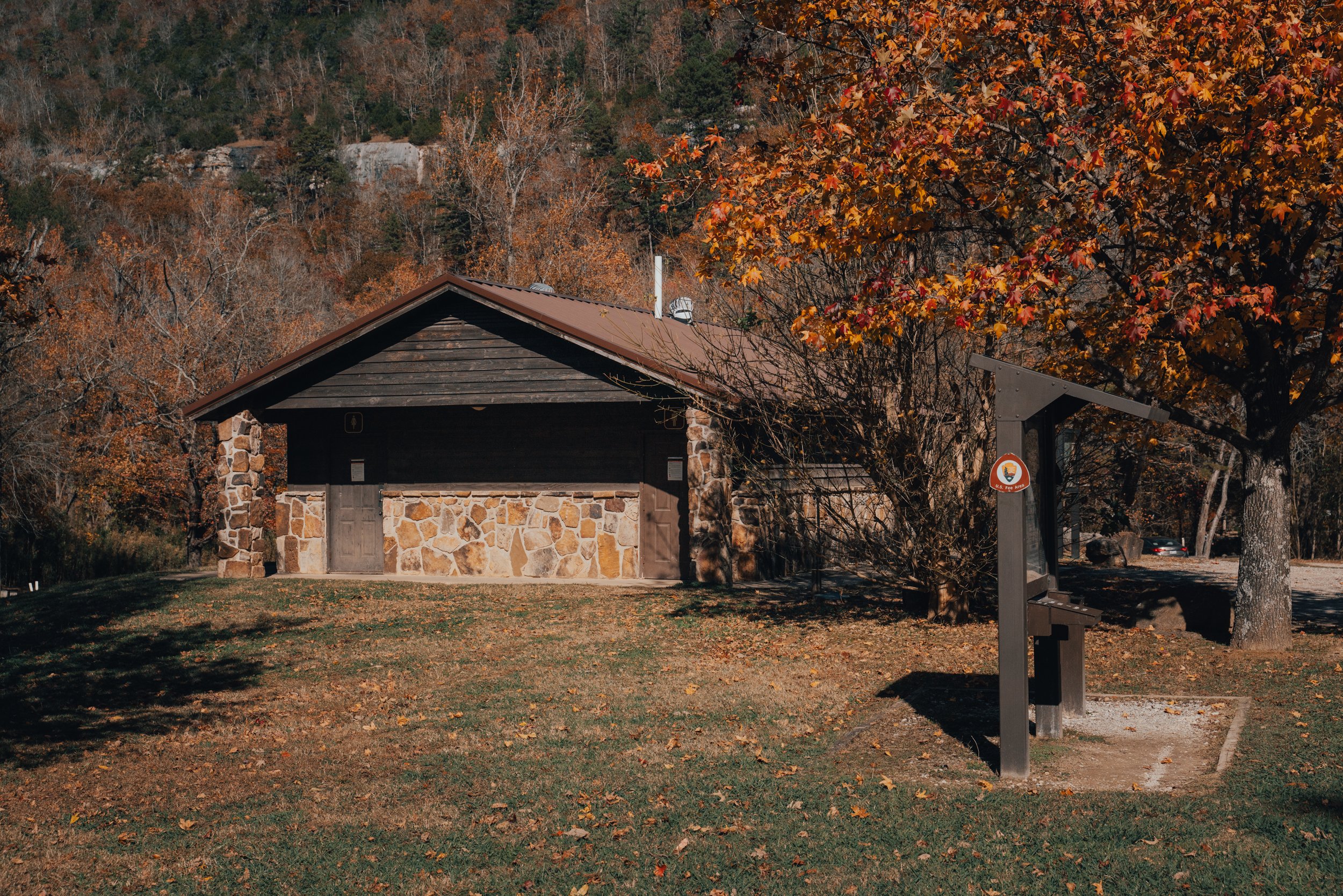
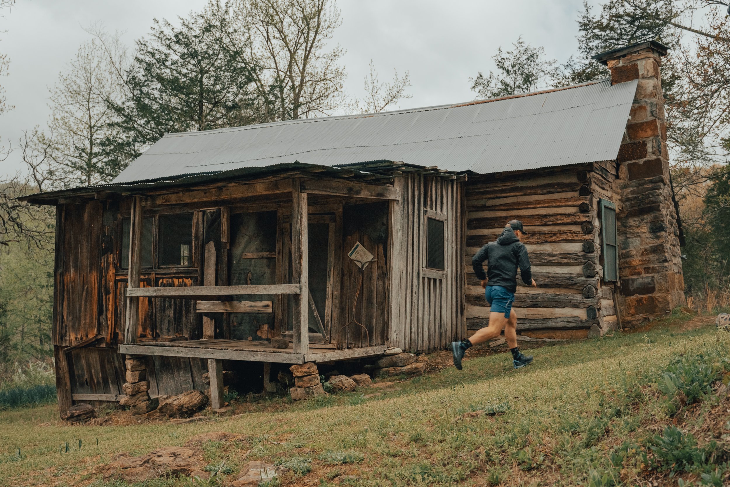
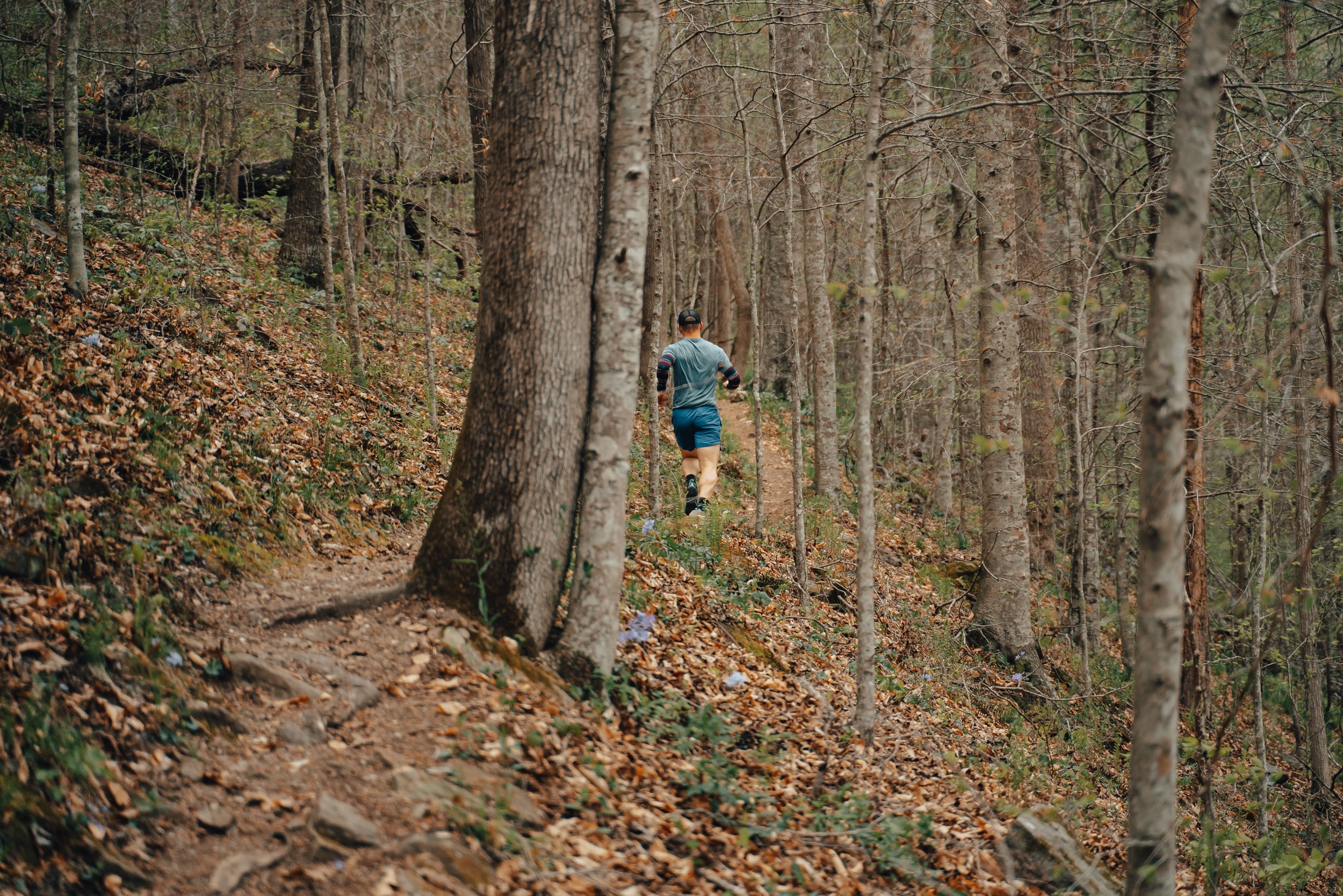
MC’s family came up over the weekend, and I wanted to take them on a great hike with plenty to see. The Alum Cove National Recreation Trail fit the bill perfectly. It is a relatively easy 1.1-mile roundtrip hike featuring caves, bluff lines, numerous tree species, water features, and wildlife. The area also has restroom facilities and a beautiful picnic area (camping is not allowed). If I were recommending family-friendly trails, this would only be second to the Lost Valley Trail.

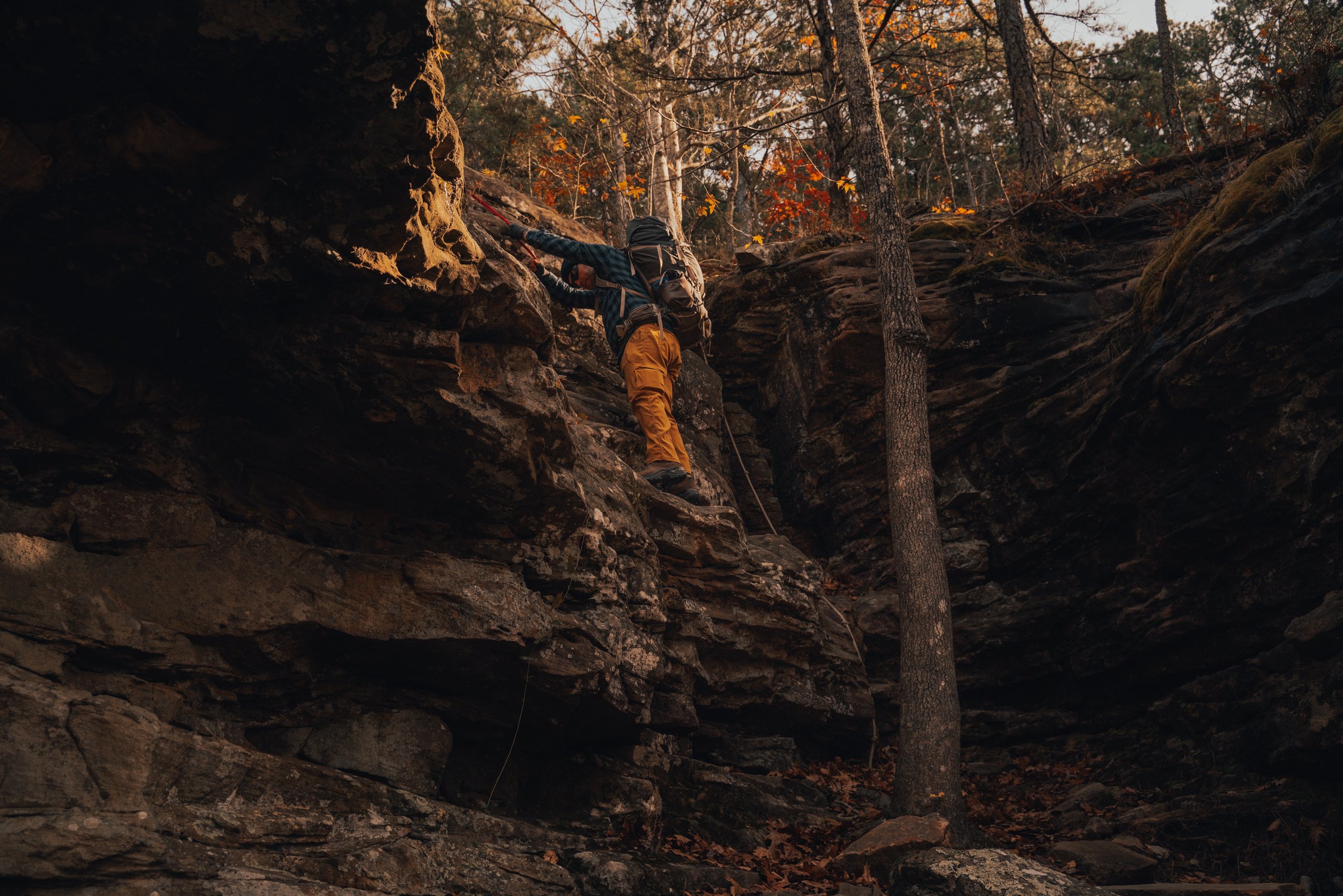
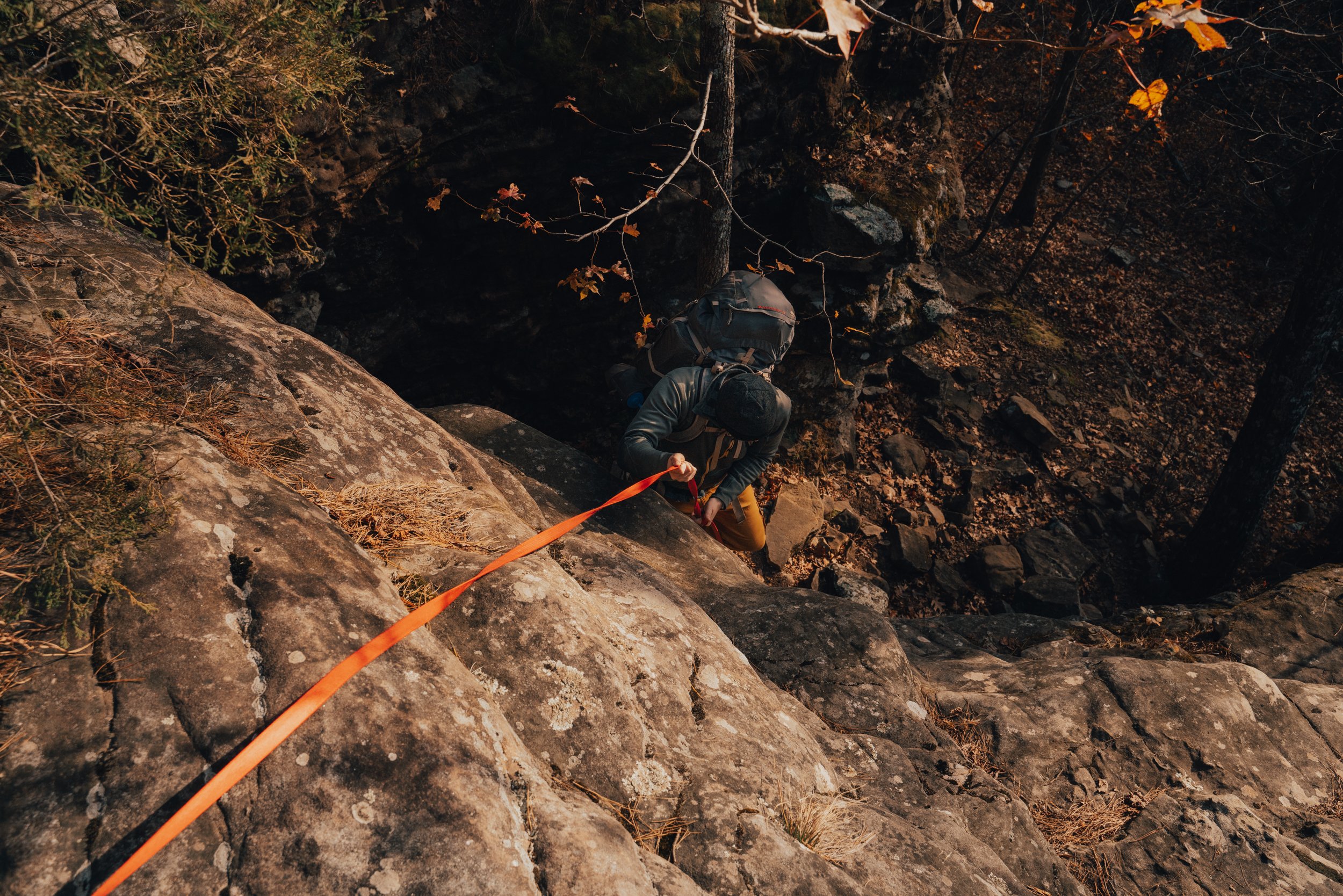
The trail down to the Natural Bridge gradually makes its way downhill with multiple switchbacks.
The Trail makes its way through the picnic area and then gradually downhill, through multiple switchbacks, before bringing you to the top of the Natural Bridge. They say that early settlers used this “natural bridge” to move their wagons and livestock over the stream found in Alum Cove during wet periods.

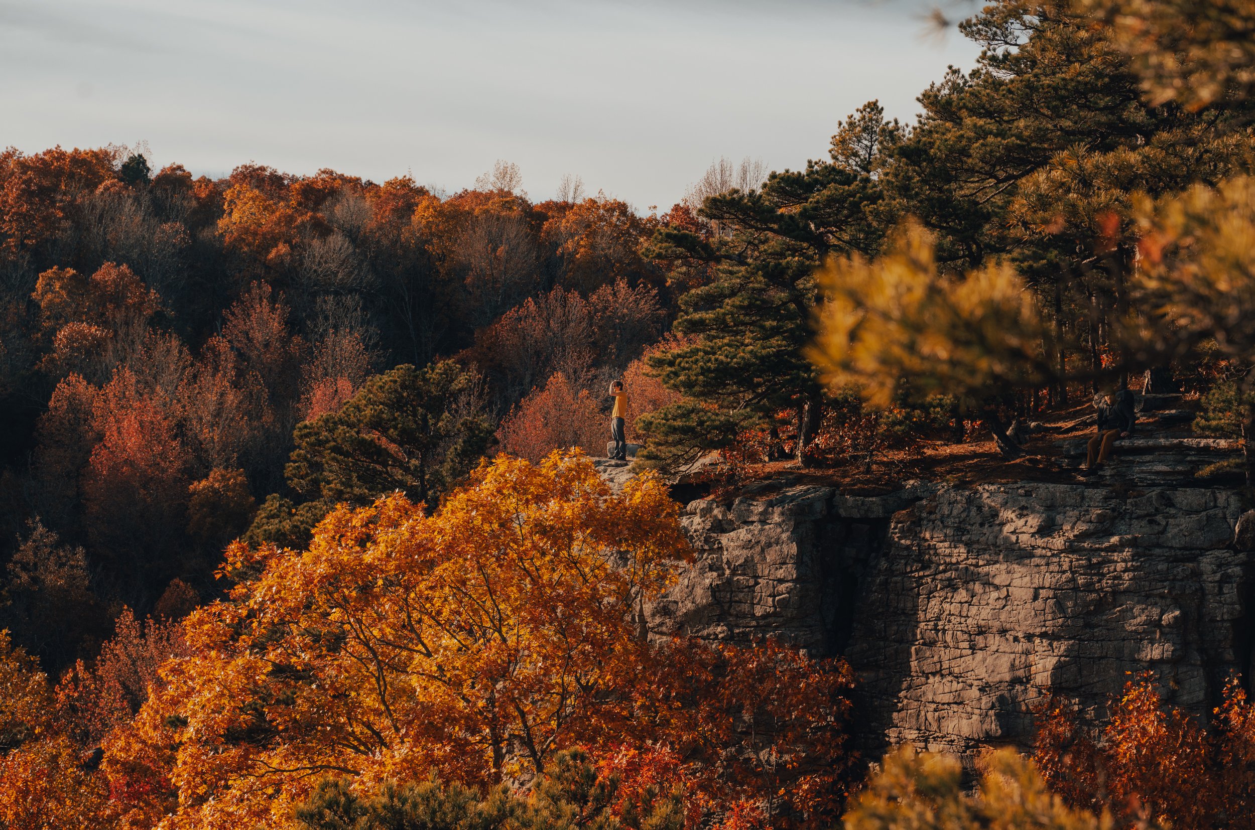
The top of the Natural Bridge at Alum Cove.
The trail continues downhill from the top of the natural bridge to the bottom for one of the most speculator views in the area. I know some people will make the hike down for the sole purpose of seeing this view before returning to the trailhead. Still, there is more beauty to experience in the geological area, and I'd highly recommend continuing along the short loop across the cove.
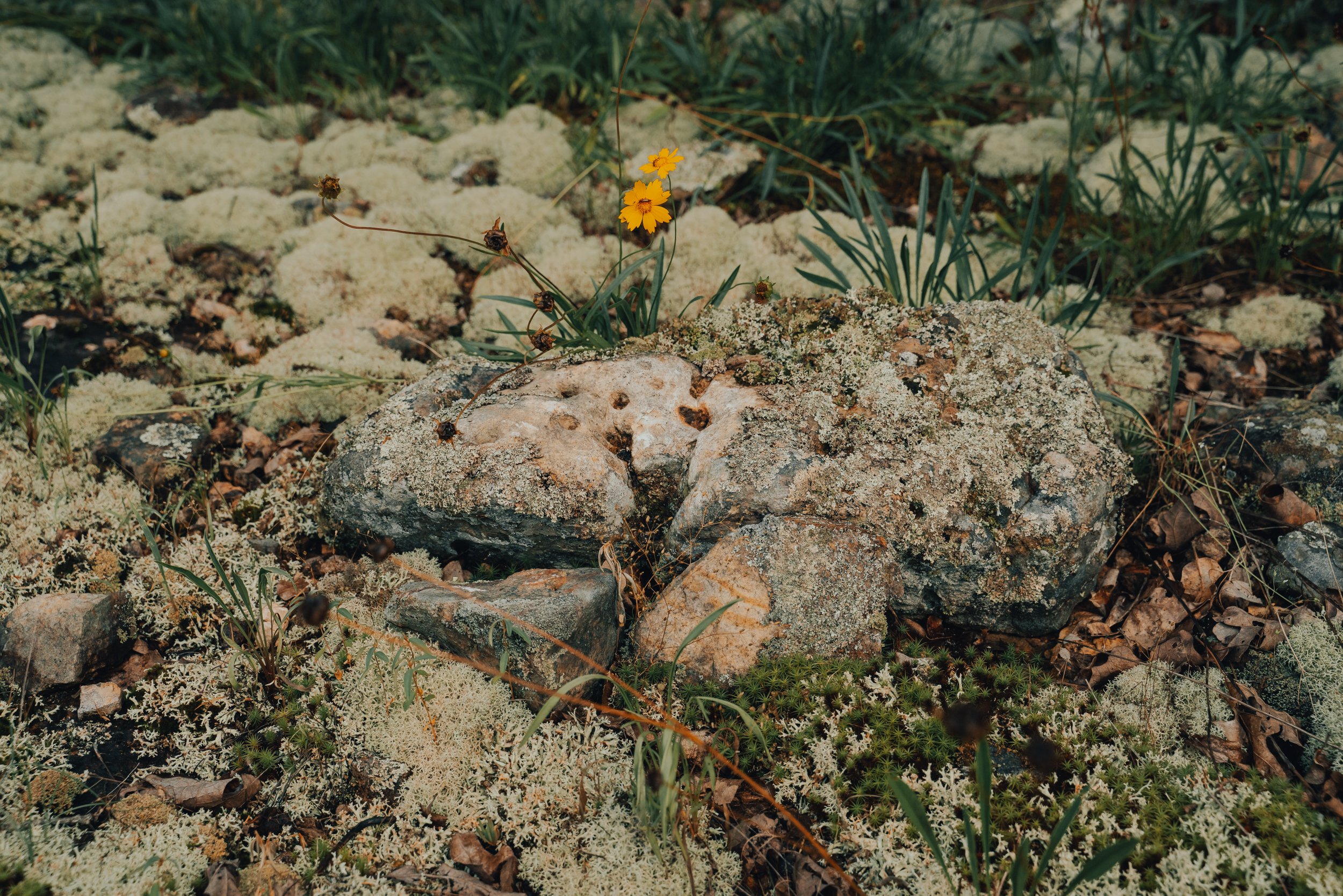
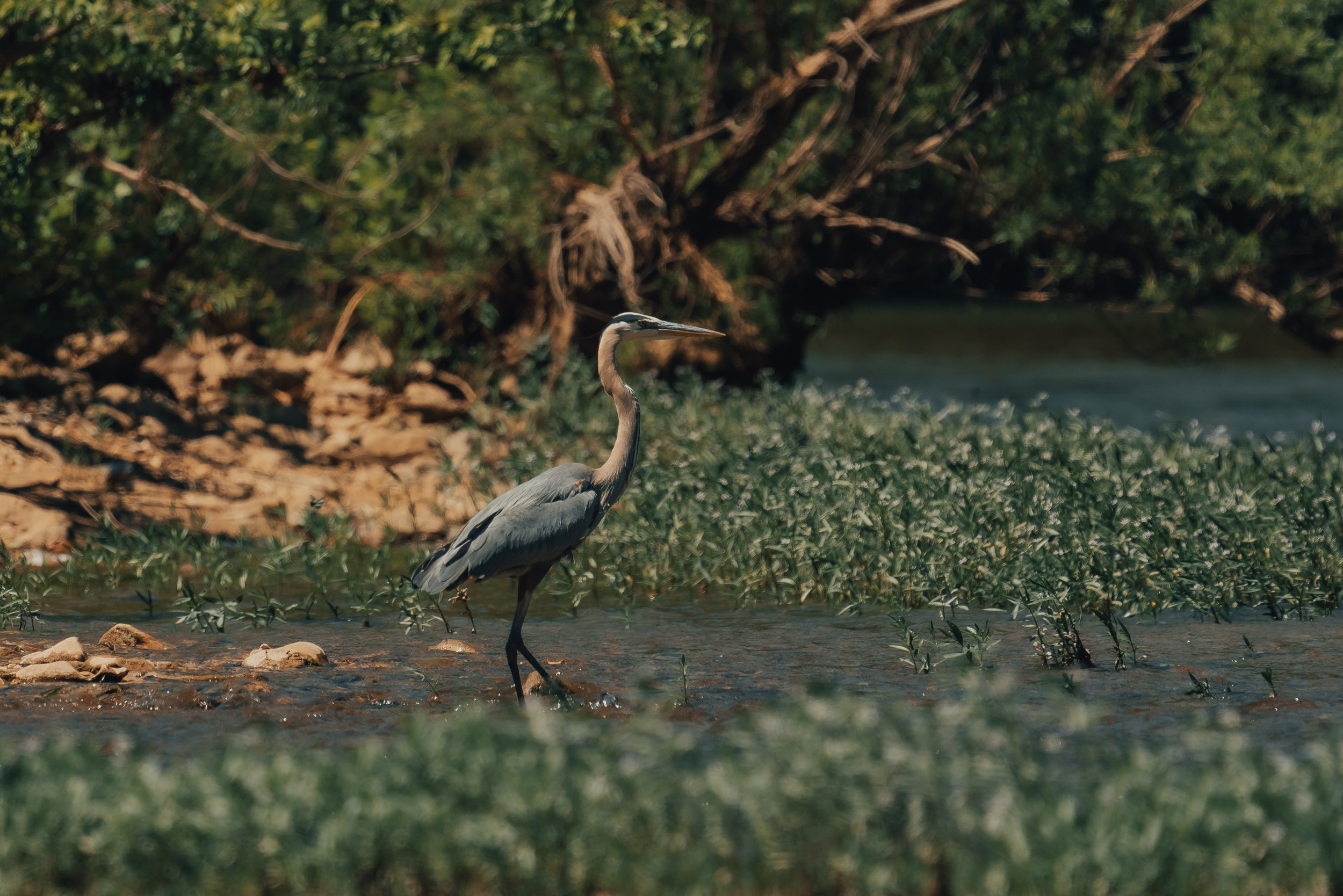
Hikers can take the Natural Bridge loop in either direction, but I tend to take the trail at the far end of the arch. the trail wanders along the bluff and then gradually meanders a little further down into the cove to a stream. During wet periods this stream has some beautiful little cascade along with it, and if you look around, you may even find a salamander or crawdad. After crossing the stream, you will begin to climb a little toward another bluff line (this is the adjacent side of the cove that you came in on).
The trail will hug this bluff for a short time and take you past some incredible natural features. If you came in the way I usually do, then the first of these features is a crack in the bluff that you can walk through/behind that also has a smaller natural arch. This area is my second favorite part of the entire loop, and I usually take my time through here. There is a bench under the arch for anyone who wants to sit and take in the area's beauty.

A split in the bluff that you can walk through and behind featuring a smaller natural arch.

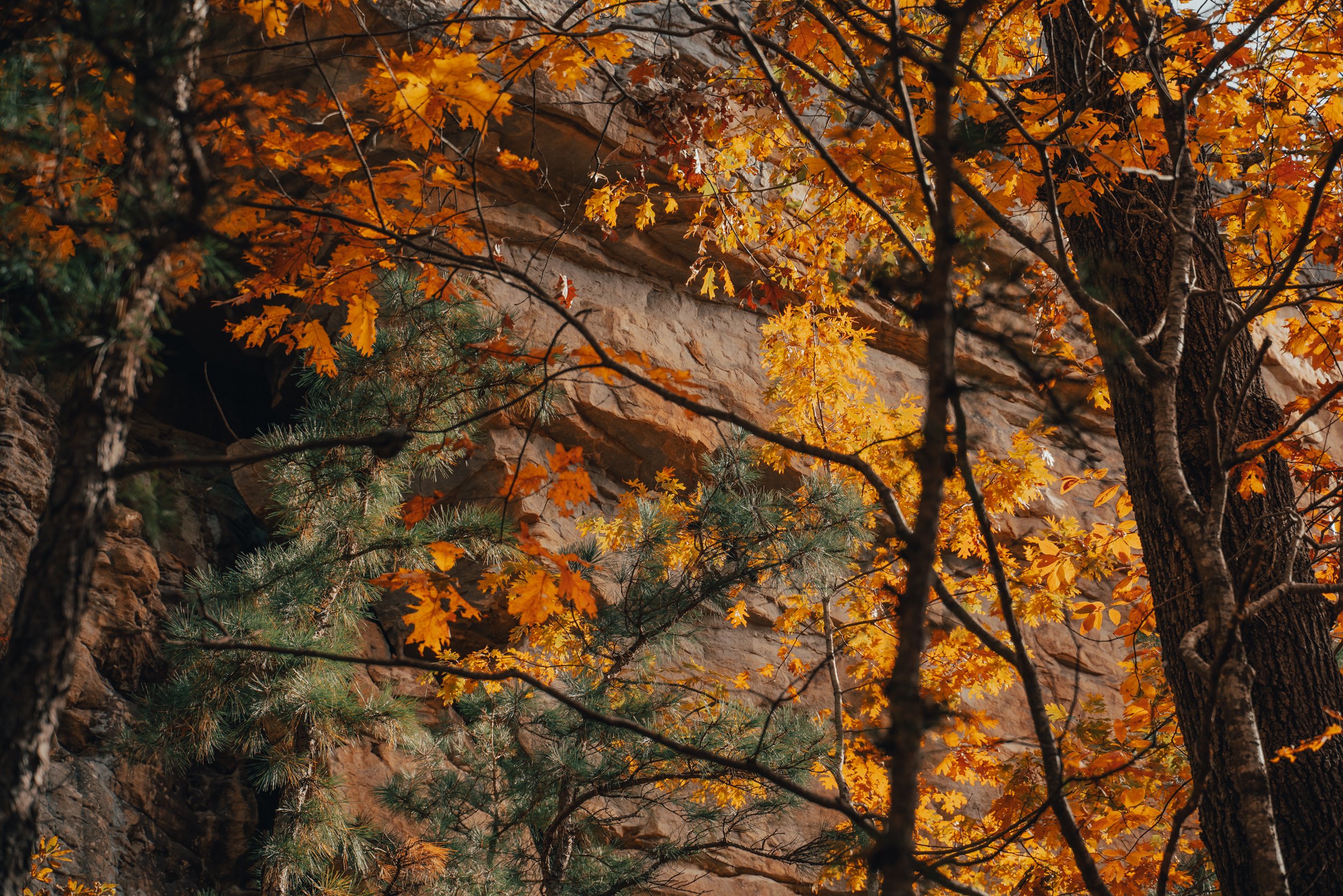
The relentless forces of wind and water have exerted their artistic prowess upon the majestic sandstone bluff line, bestowing upon it a plethora of awe-inspiring features. Among these magnificent formations, are a humble arch and porthole, delicately sculpted by the ceaseless caress of natural elements.
After leaving the crack in the bluff, you will soon come to a wet-weather waterfall. I’m sure it would be beautiful with significant rain, but I have not been during or after heavy rain despite the many times I have visited this trail.
After the waterfall, you come to a cave entrance (there are two ways to access this beautiful little bluff shelter, the easier being a little further up the trail). They say Native Americans used the rock overhangs and small caves for cover while on extended hunting trips through the area. Free-roaming goats inhabited the caves in more recent history, and locals now call these formations “goat houses.”

Silhouetted in the Goat House, a hiker looks out from the mouth of one of the multiple bluff shelters found along the Alum Cove loop.
Silhouetted in the Goat House, a hiker looks out from the mouth of one of the multiple bluff shelters found along the Alum Cove loop. As golden sunlight bathes the rugged cliffs in a warm glow, the hiker's eyes trace the jagged edges of the rocks, imagining the countless stories they hold within their ancient layers. The tranquility and solitude found within these natural sanctuaries offer a momentary escape from the hectic pace of everyday life, allowing the hiker to connect with the raw power and beauty of the surrounding wilderness. This magical encounter serves as a reminder of the intricate dance between nature and the adventurous spirit, inspiring the hiker to continue exploring and discovering the hidden gems that await around every corner.
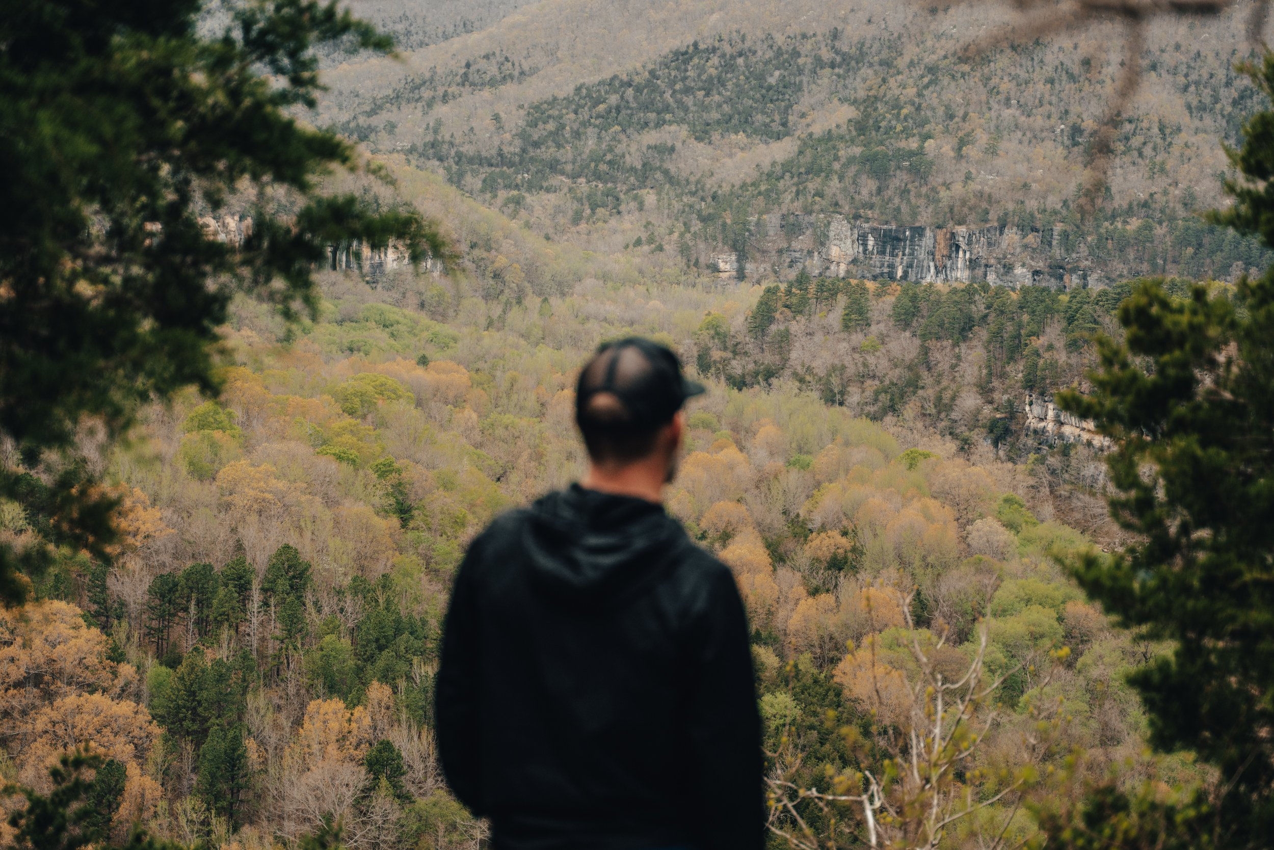
After leaving the goat house, the trail will leave the bluff and begin taking you back toward the Natural Bridge and, ultimately, the trailhead. The way back has a little bit of hill climbing but nothing too strenuous. There are also benches found throughout the trail for anyone who’d like to take a breather.
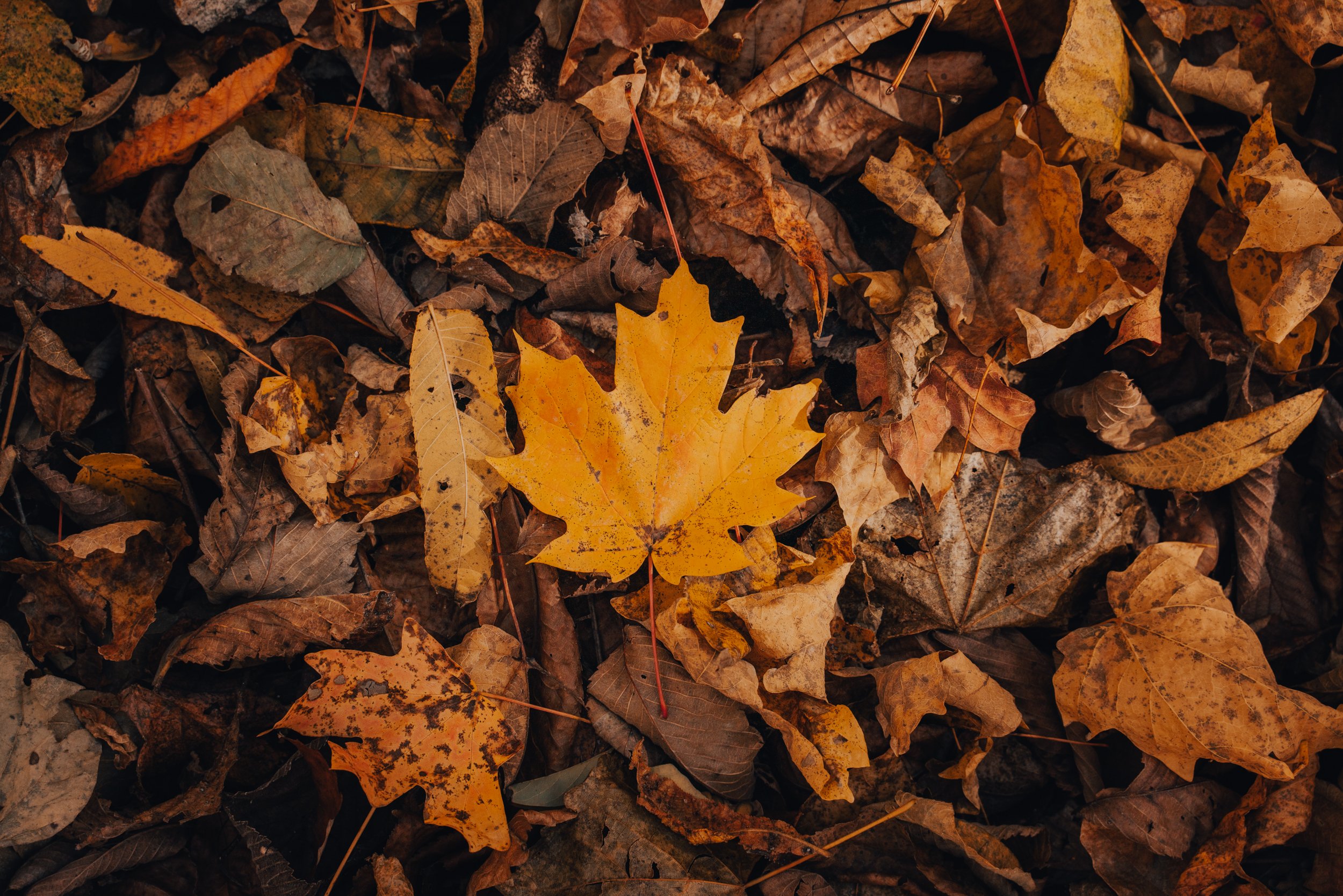
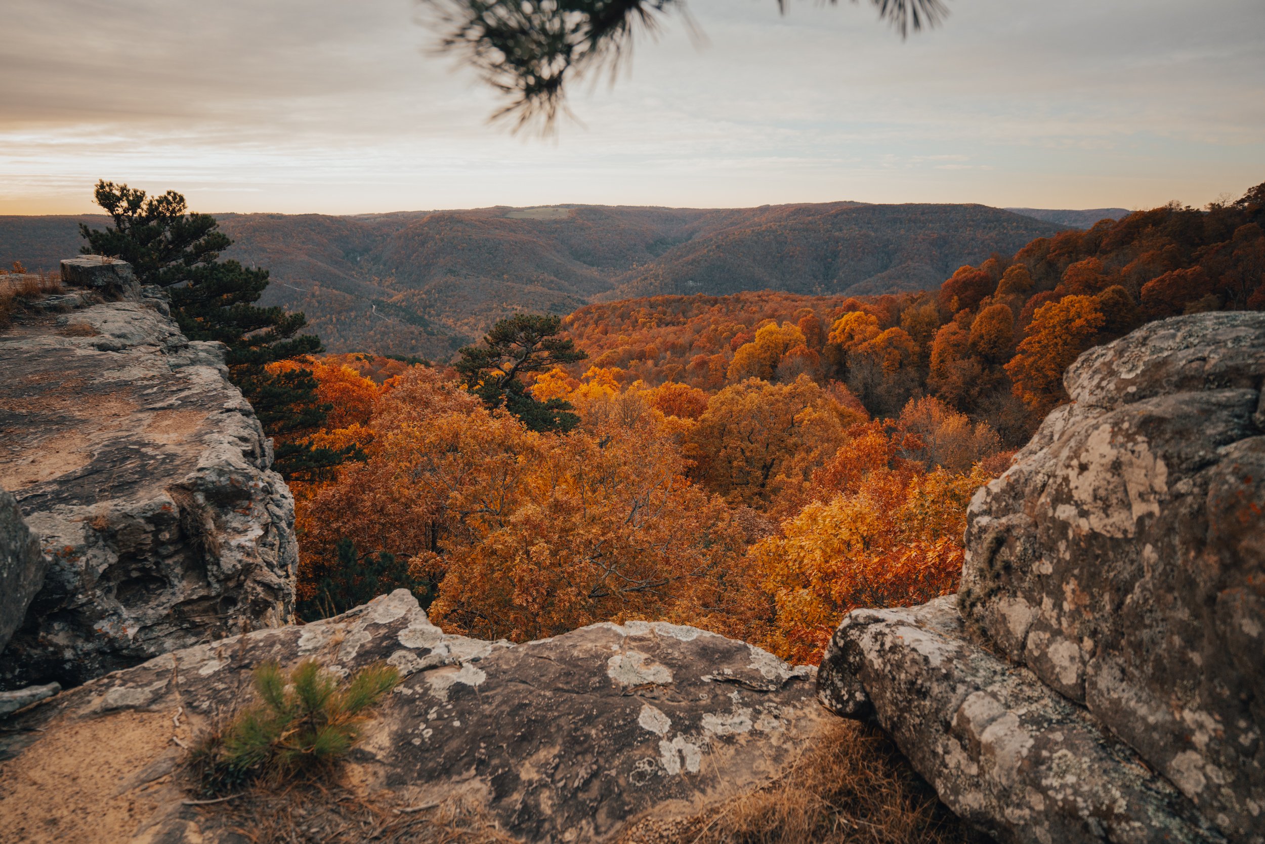
Alum Cove Natural Bridge Geological Area is gorgeous during any season. Here are a couple of images of Spring and Winter from under the arch.


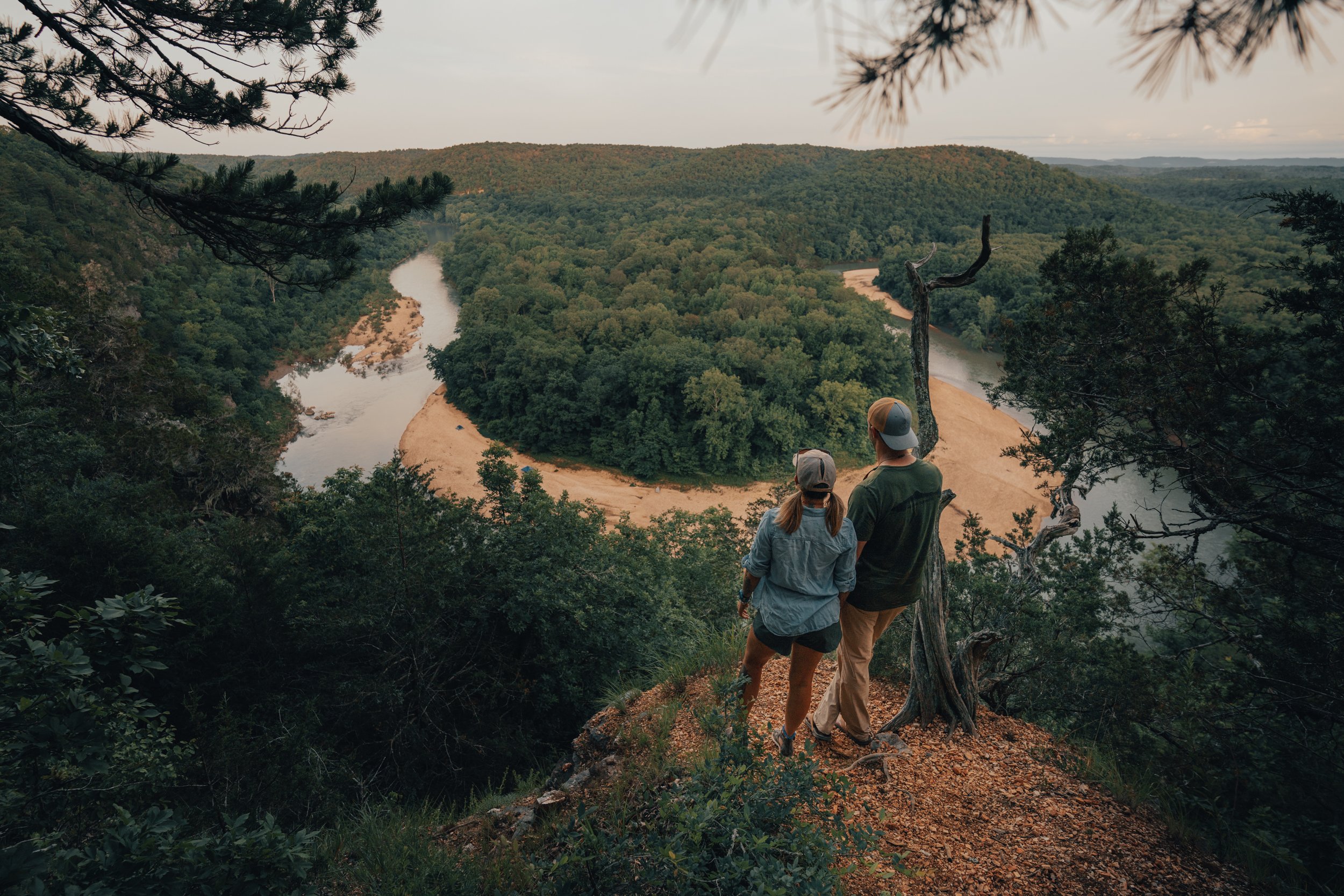
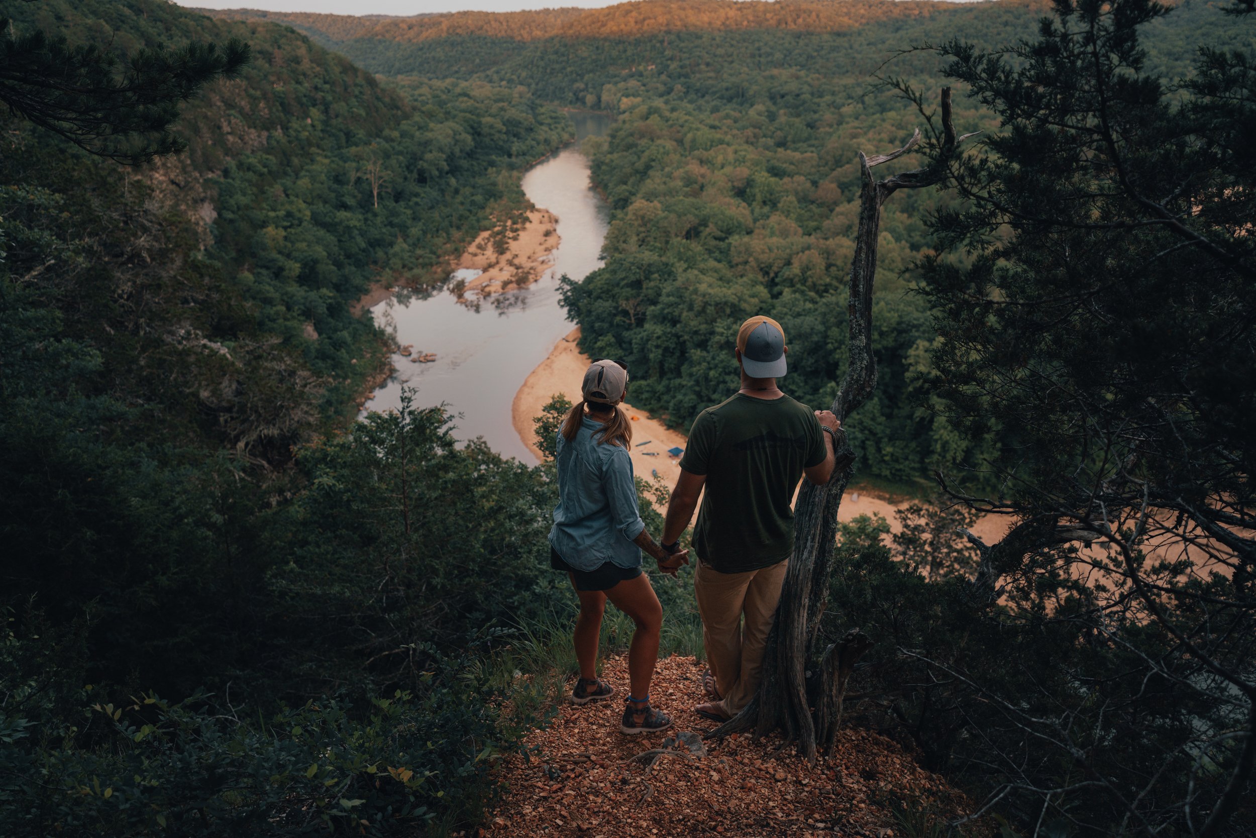
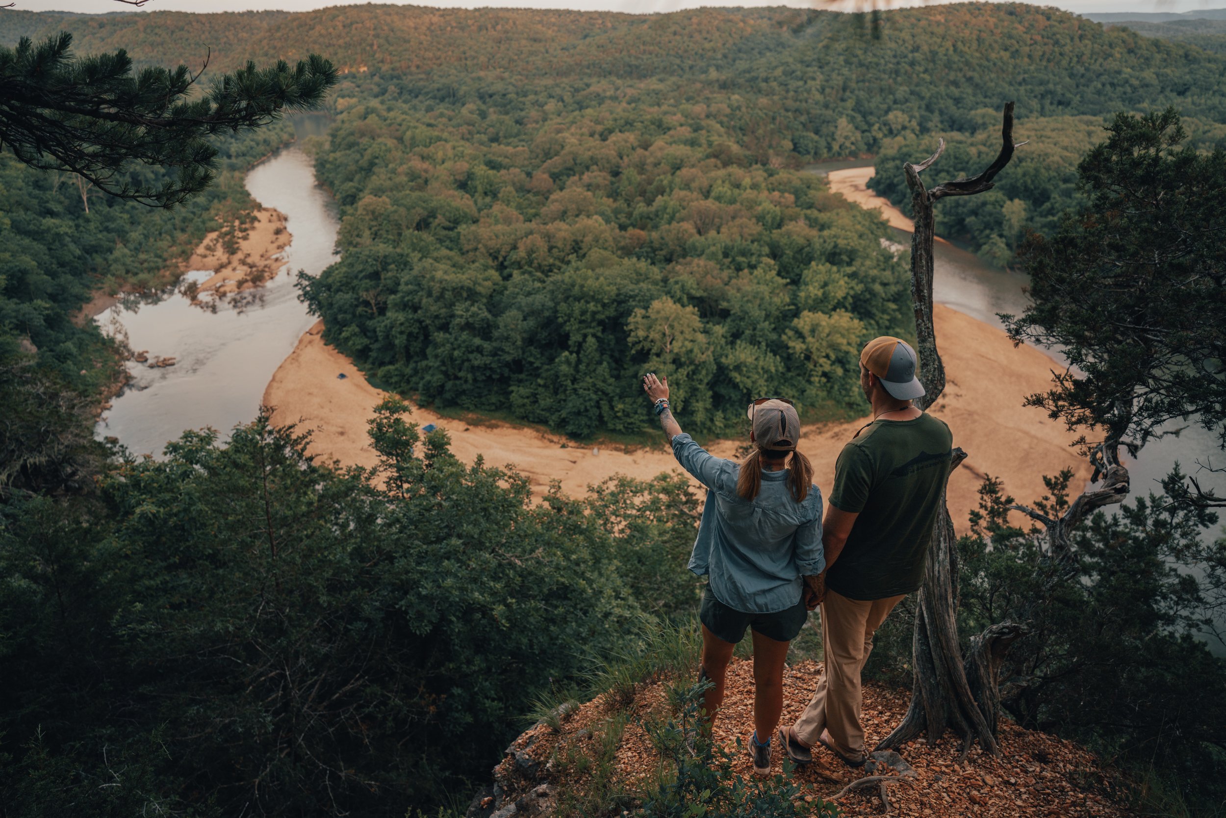


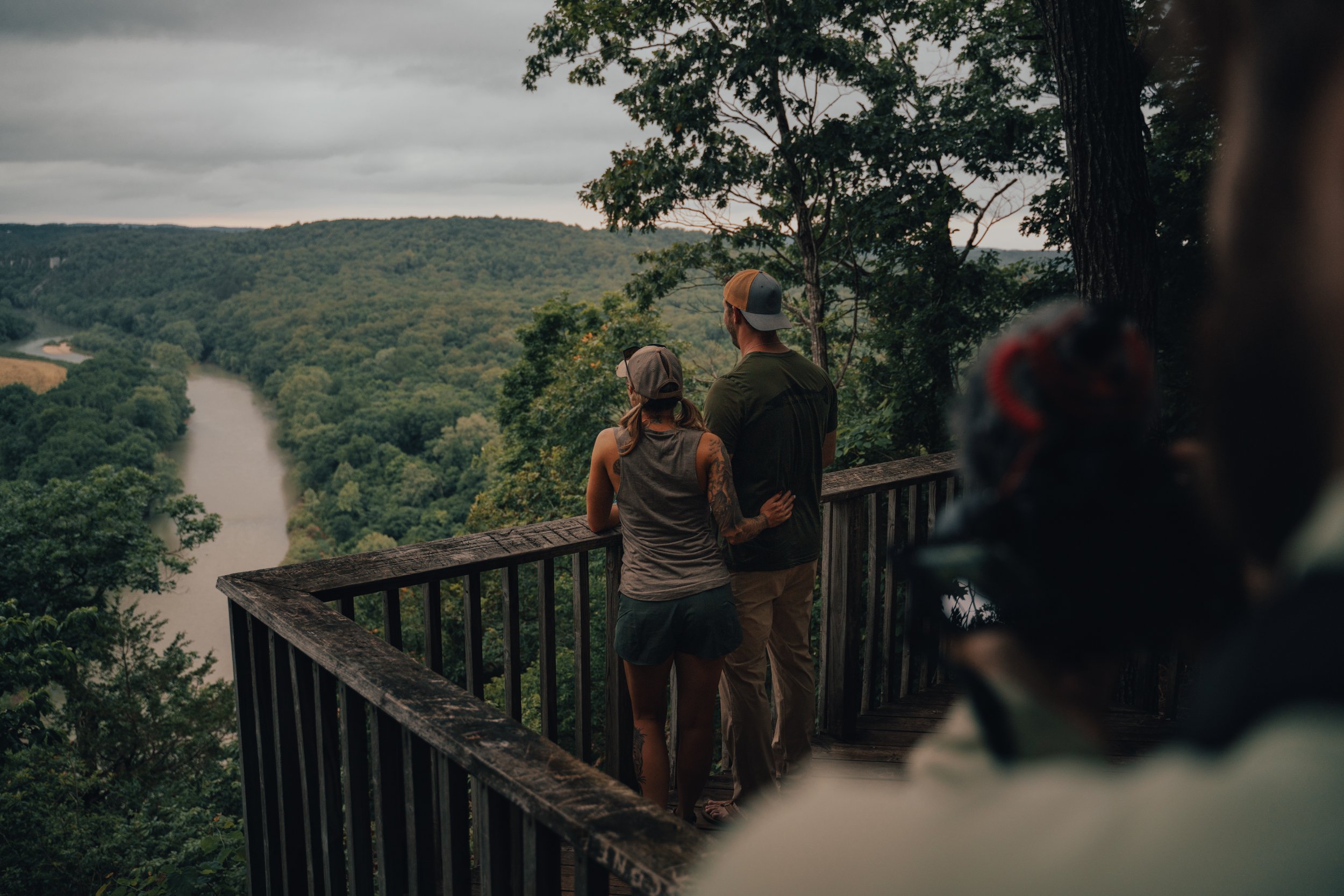
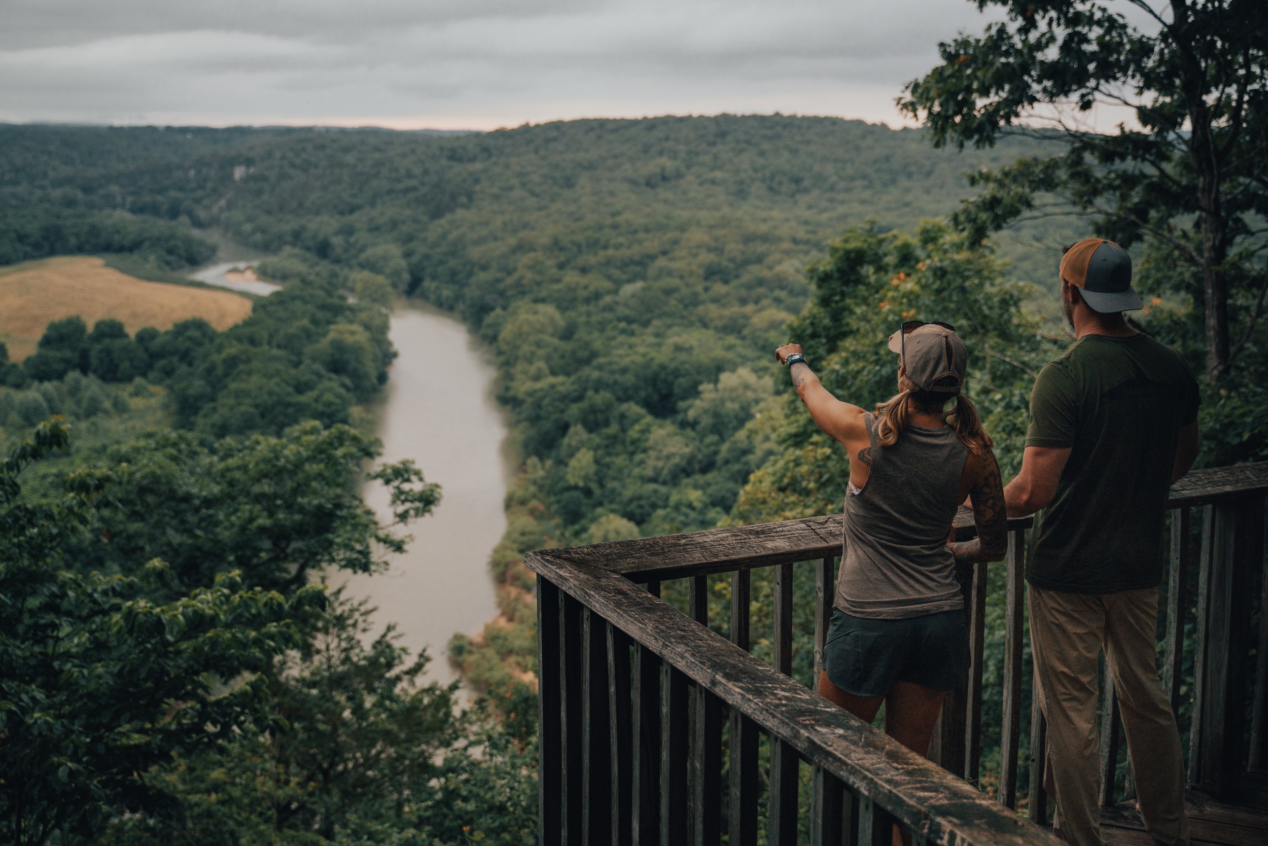
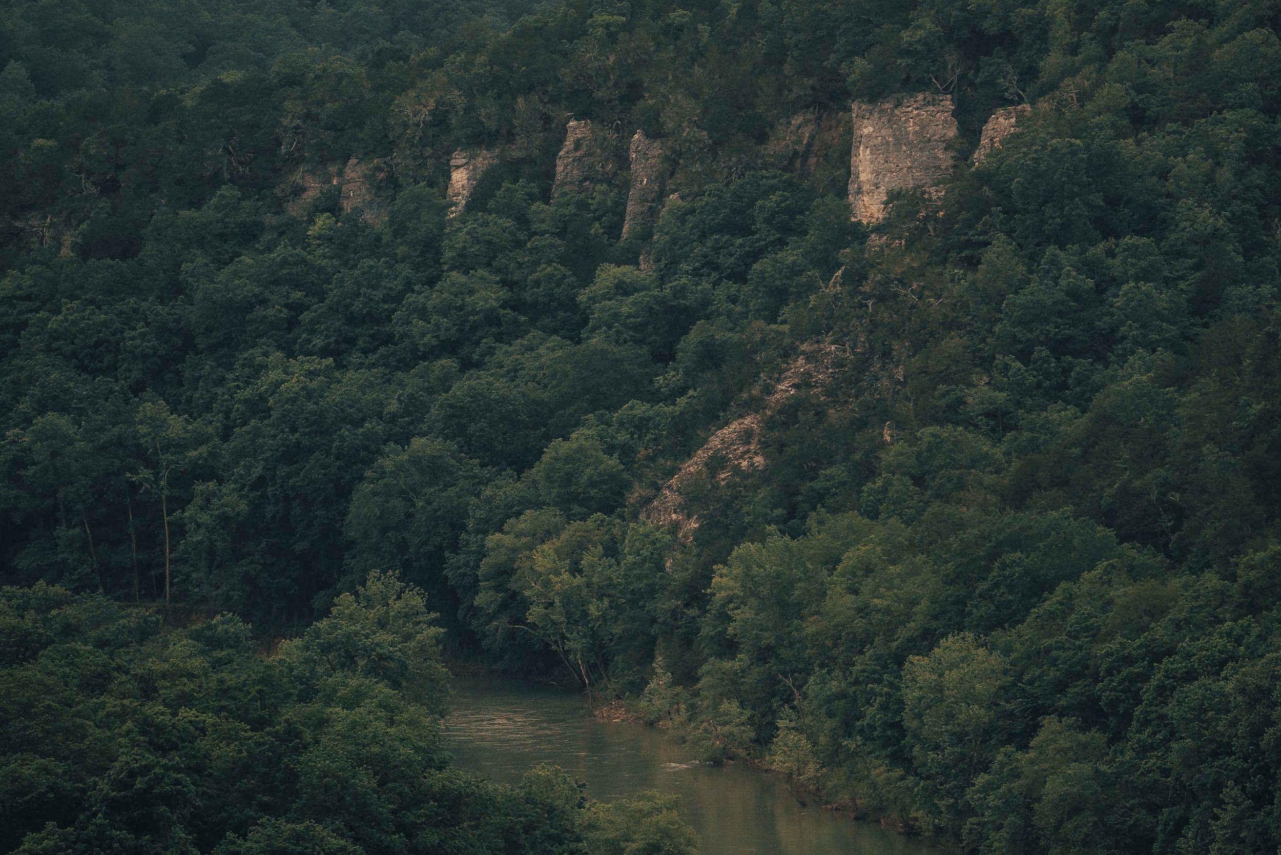
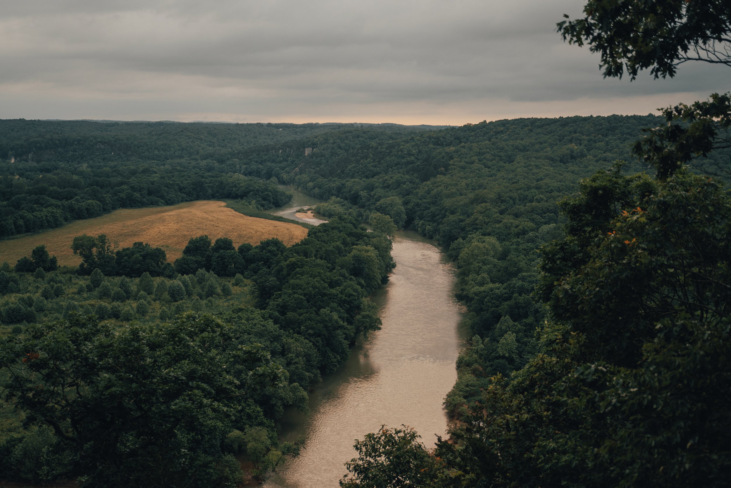


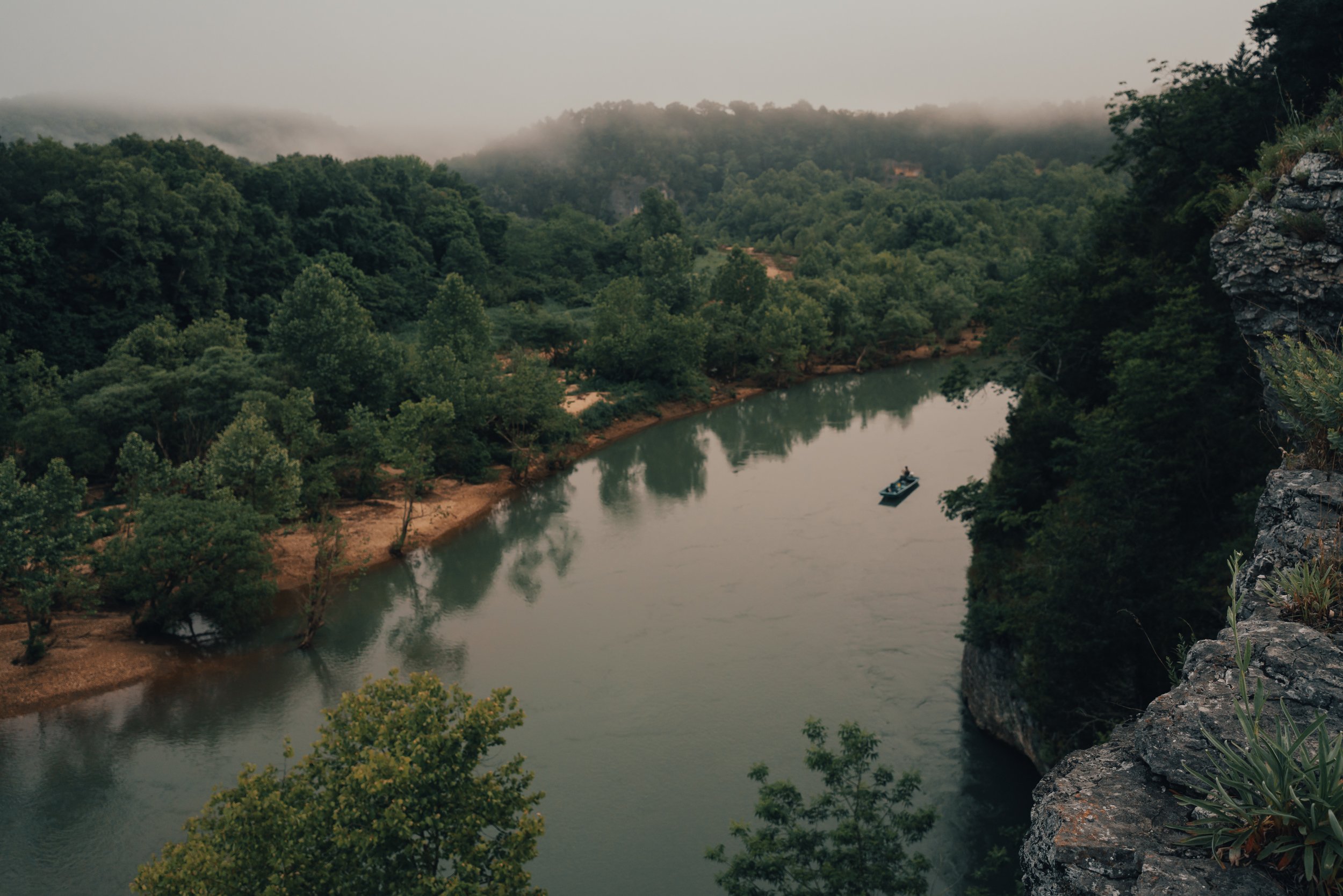


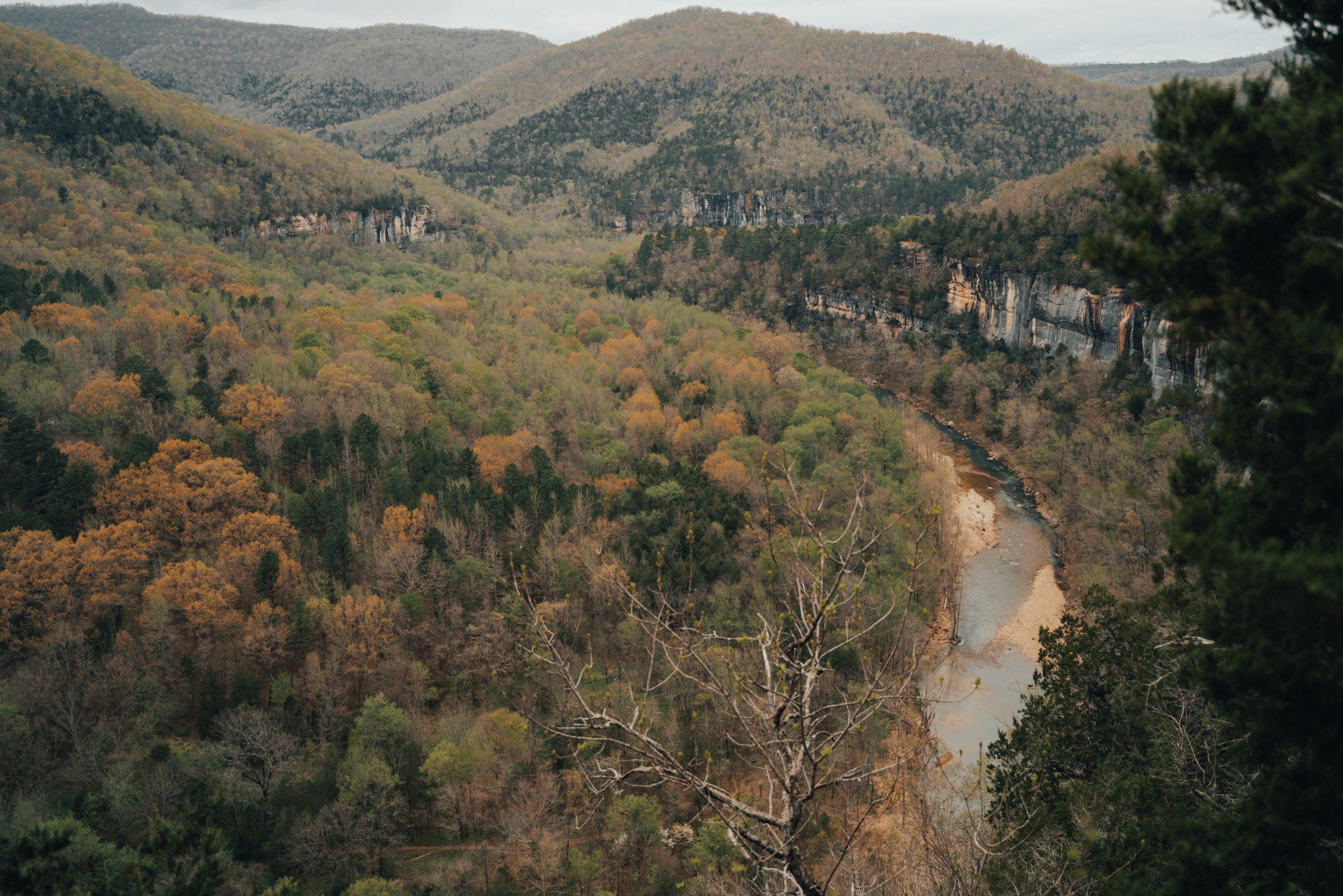
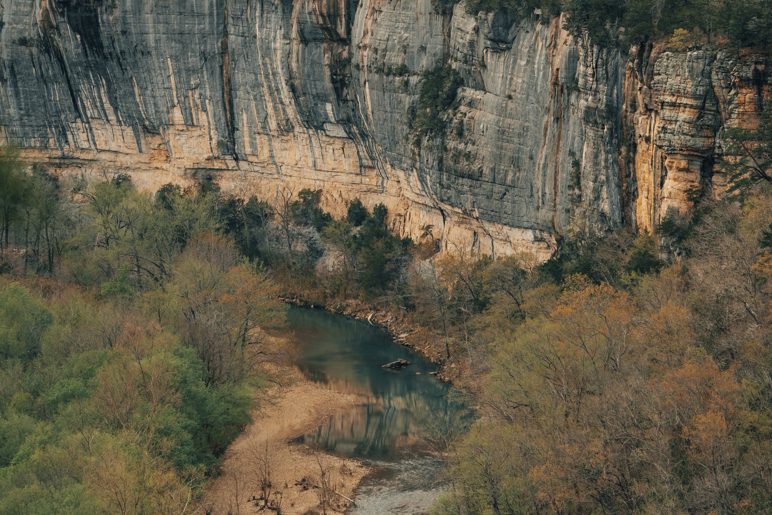


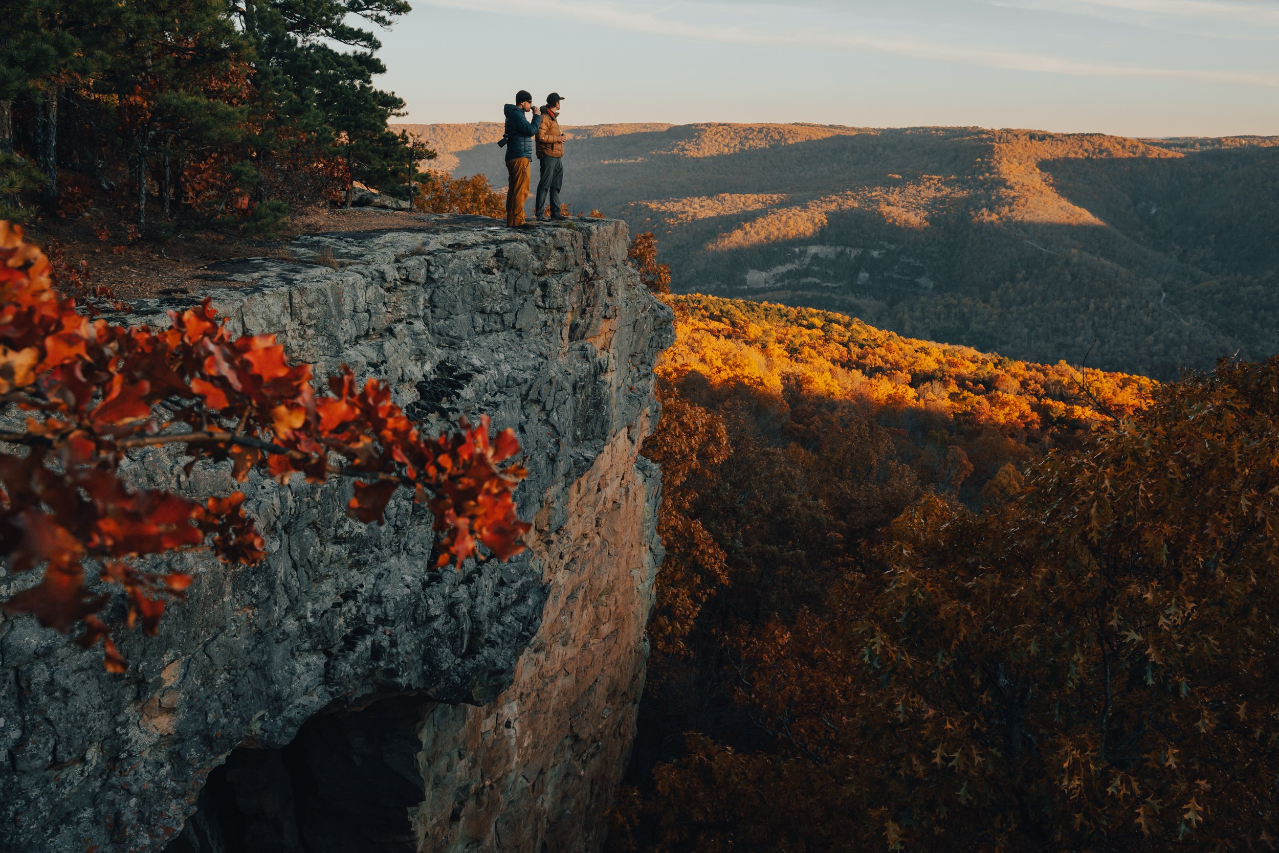
Basking in evenings glow-the Buffalo River flows below the Goat Trail on Big Bluff.
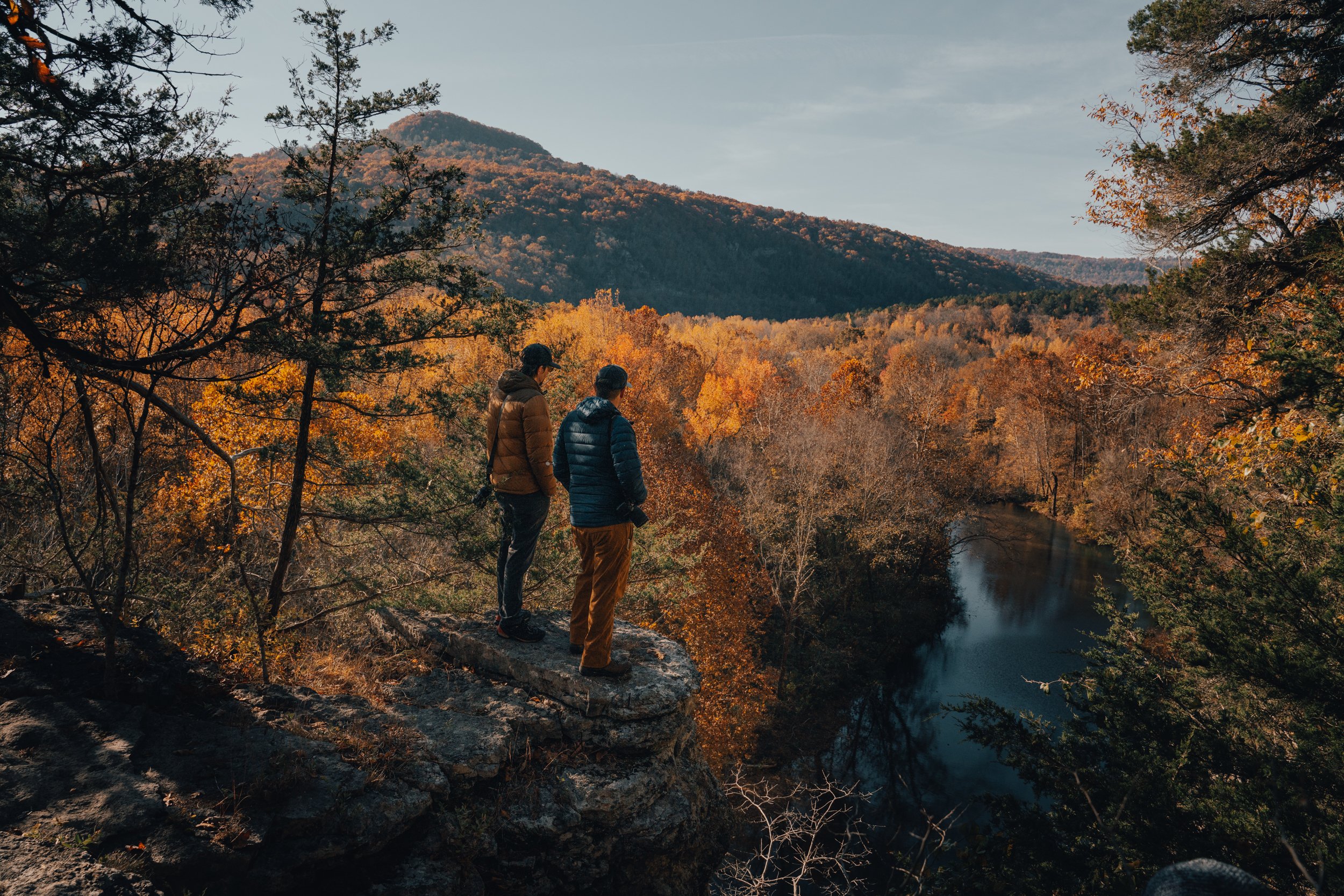
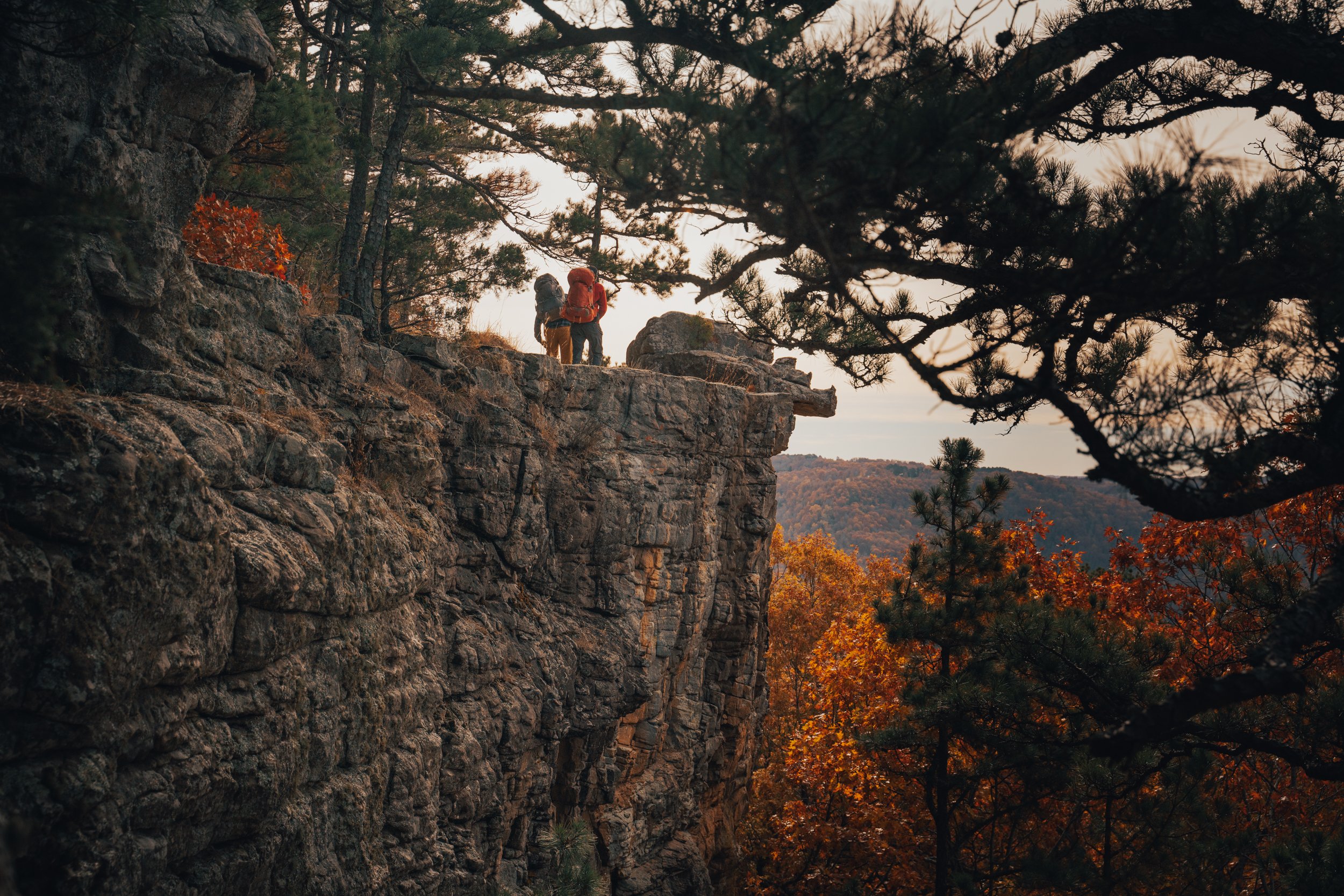
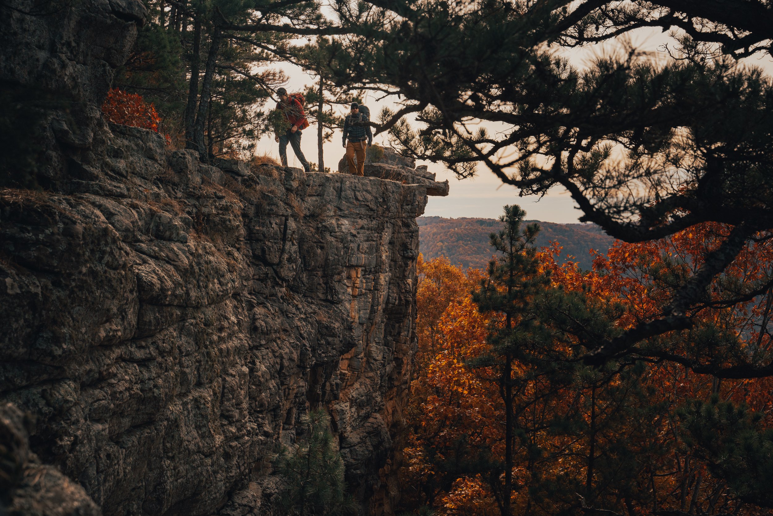
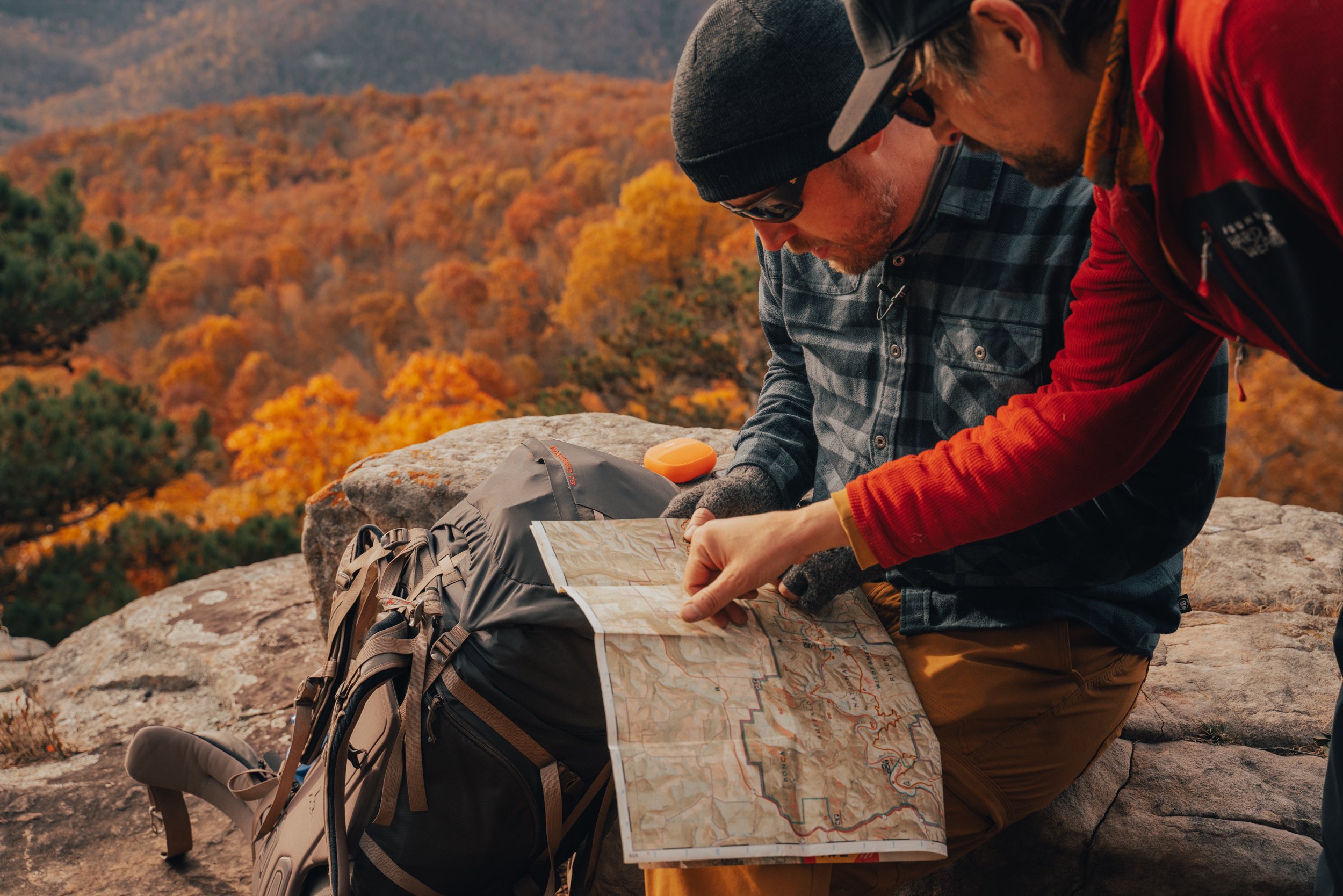
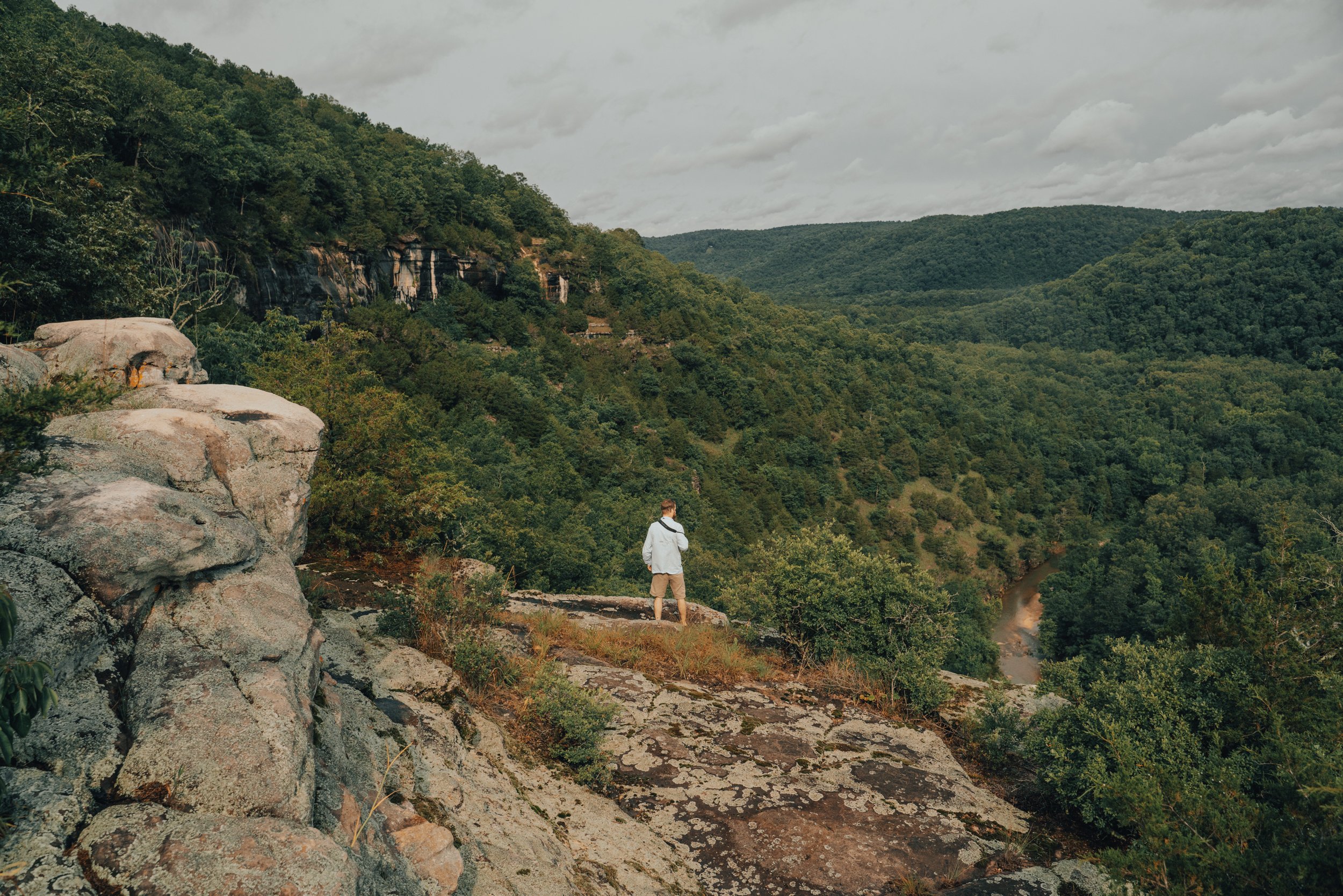
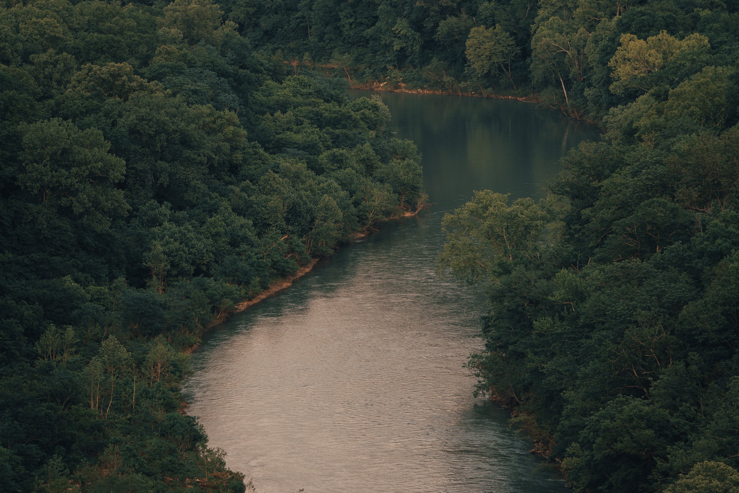
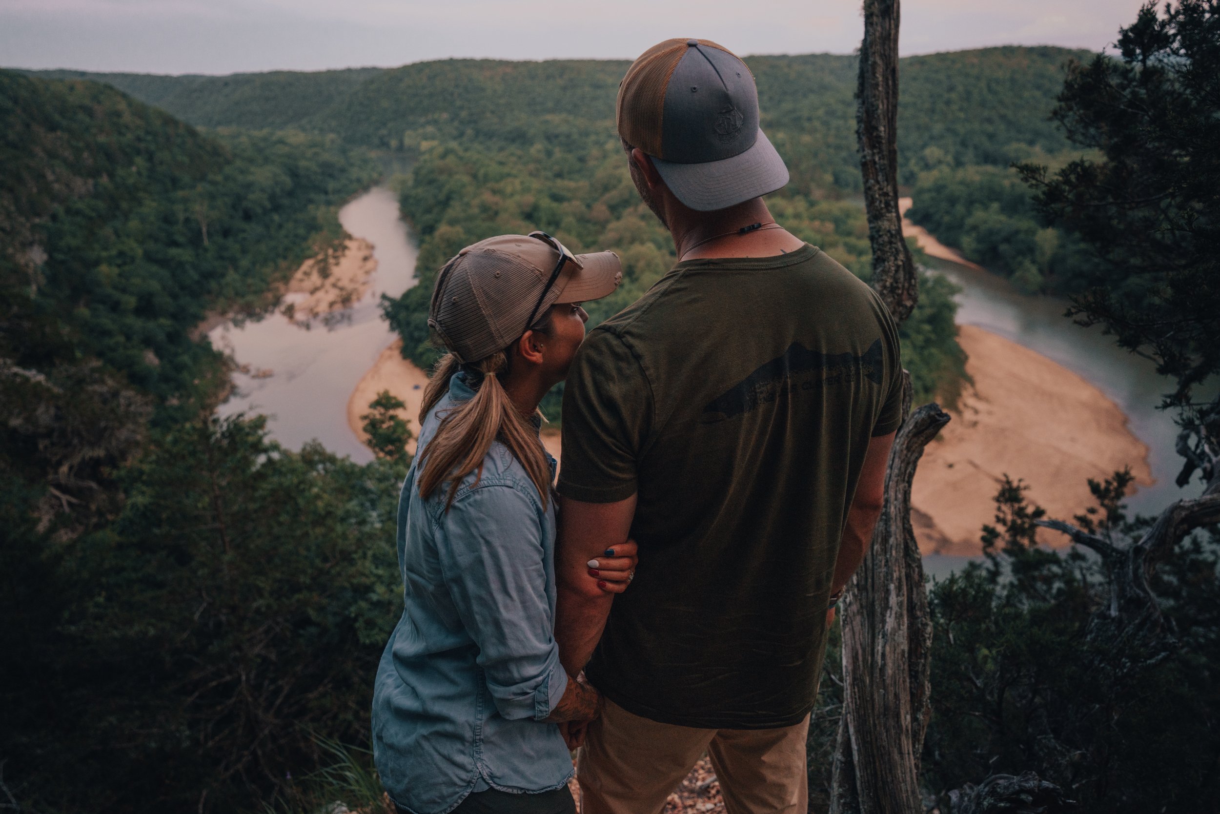
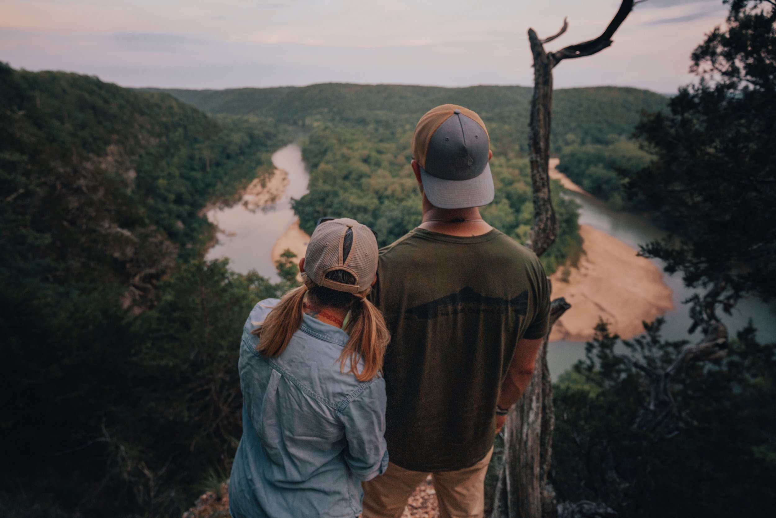
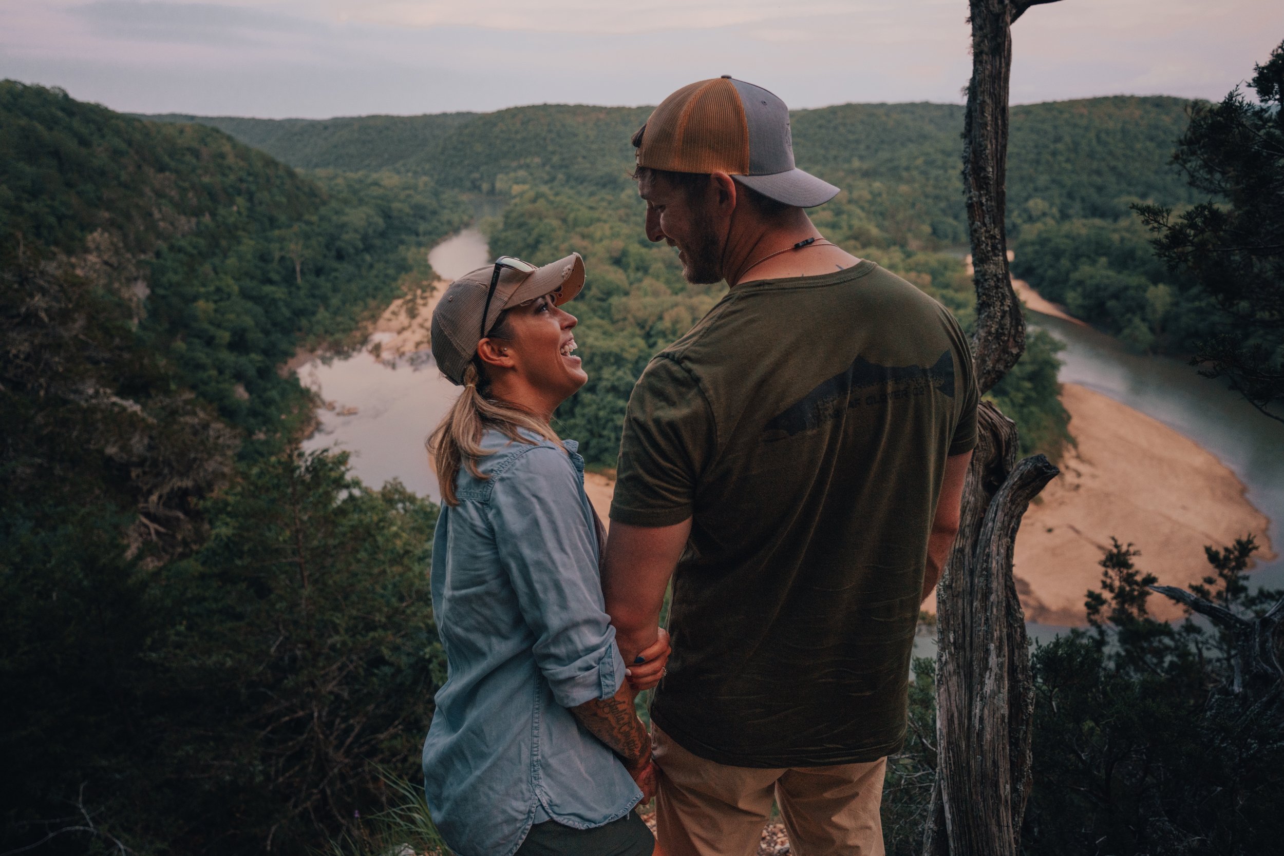
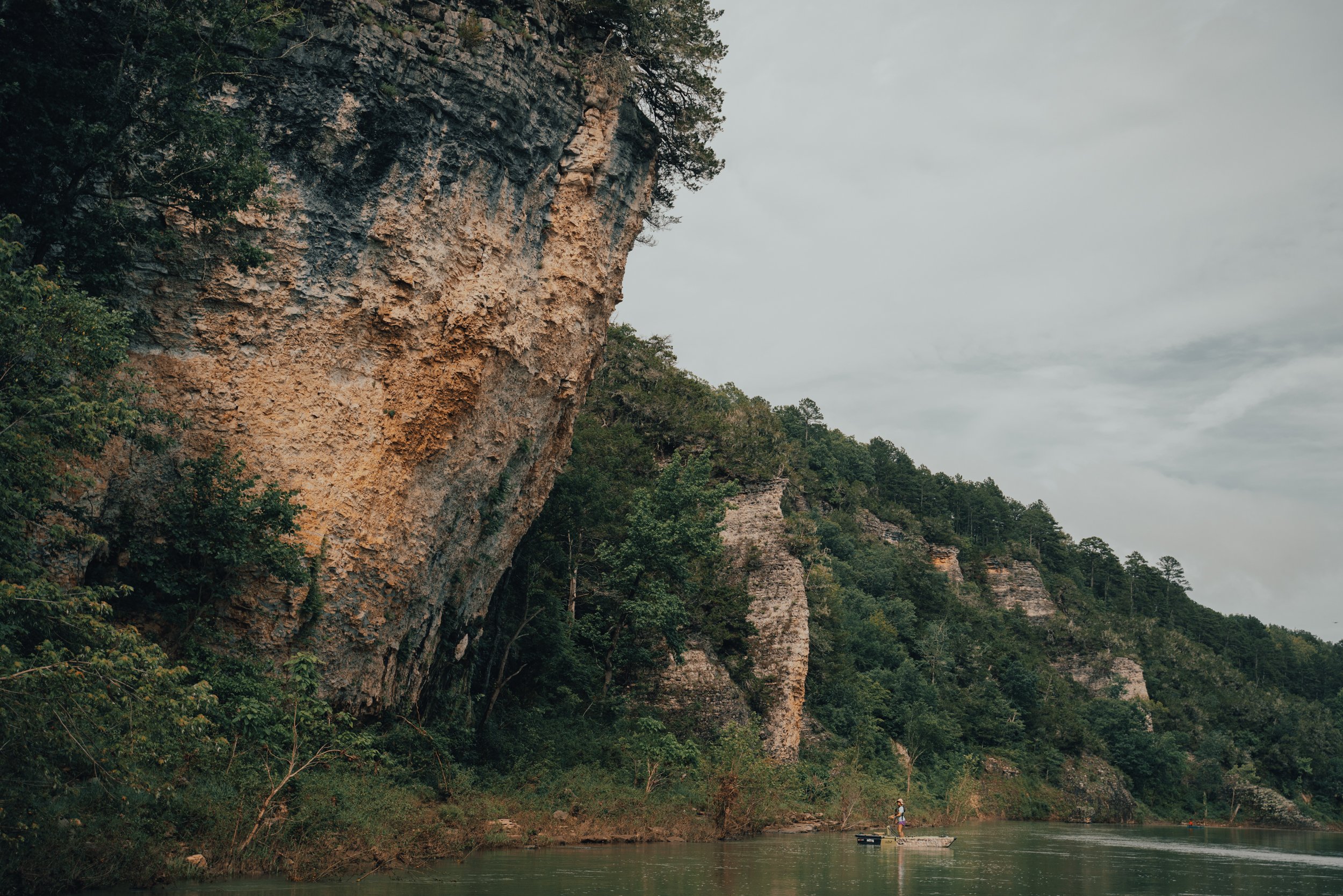
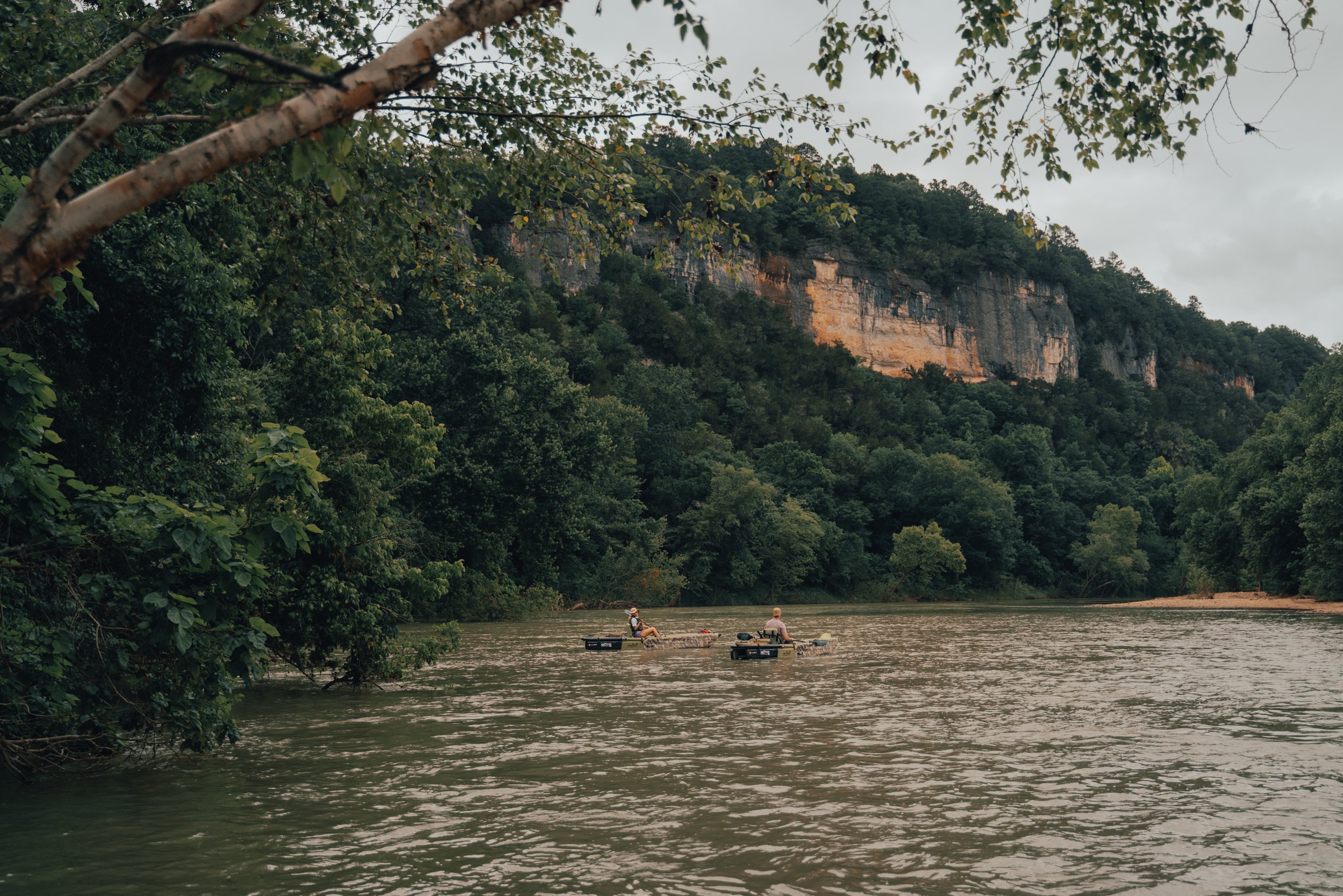
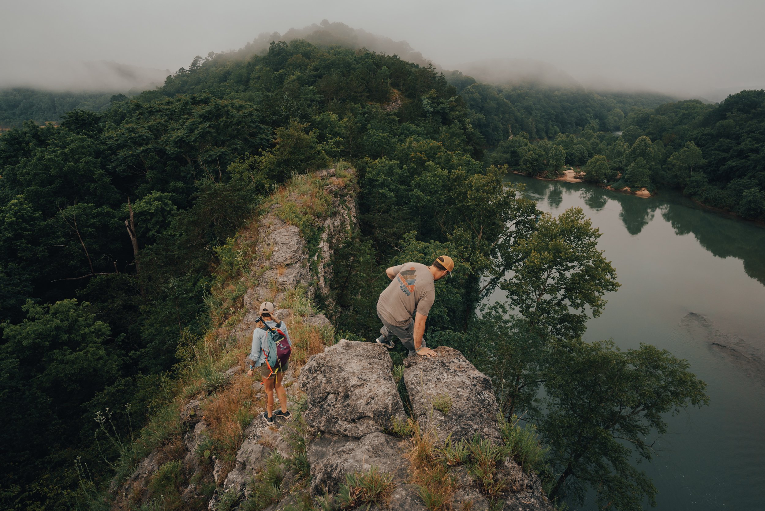
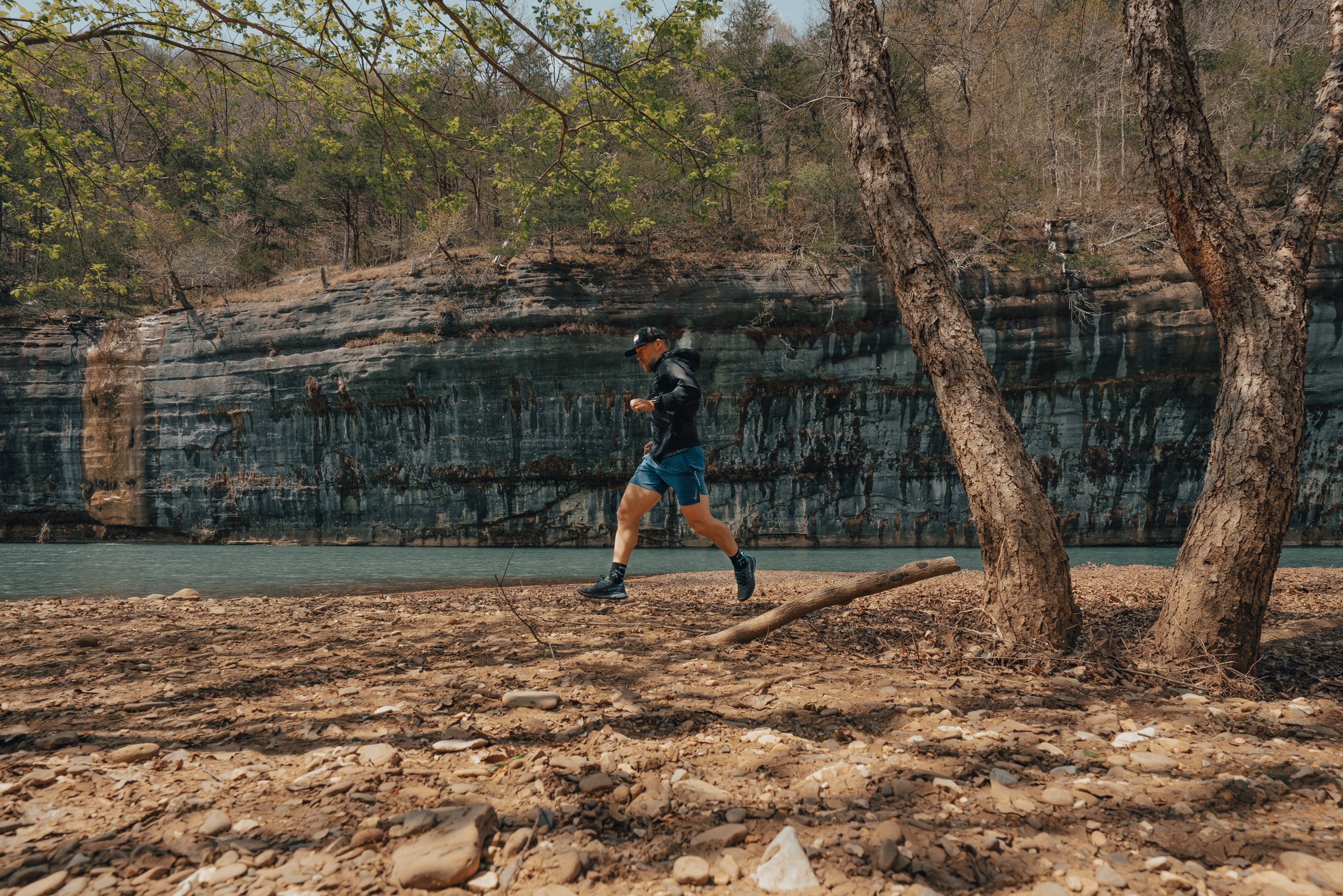
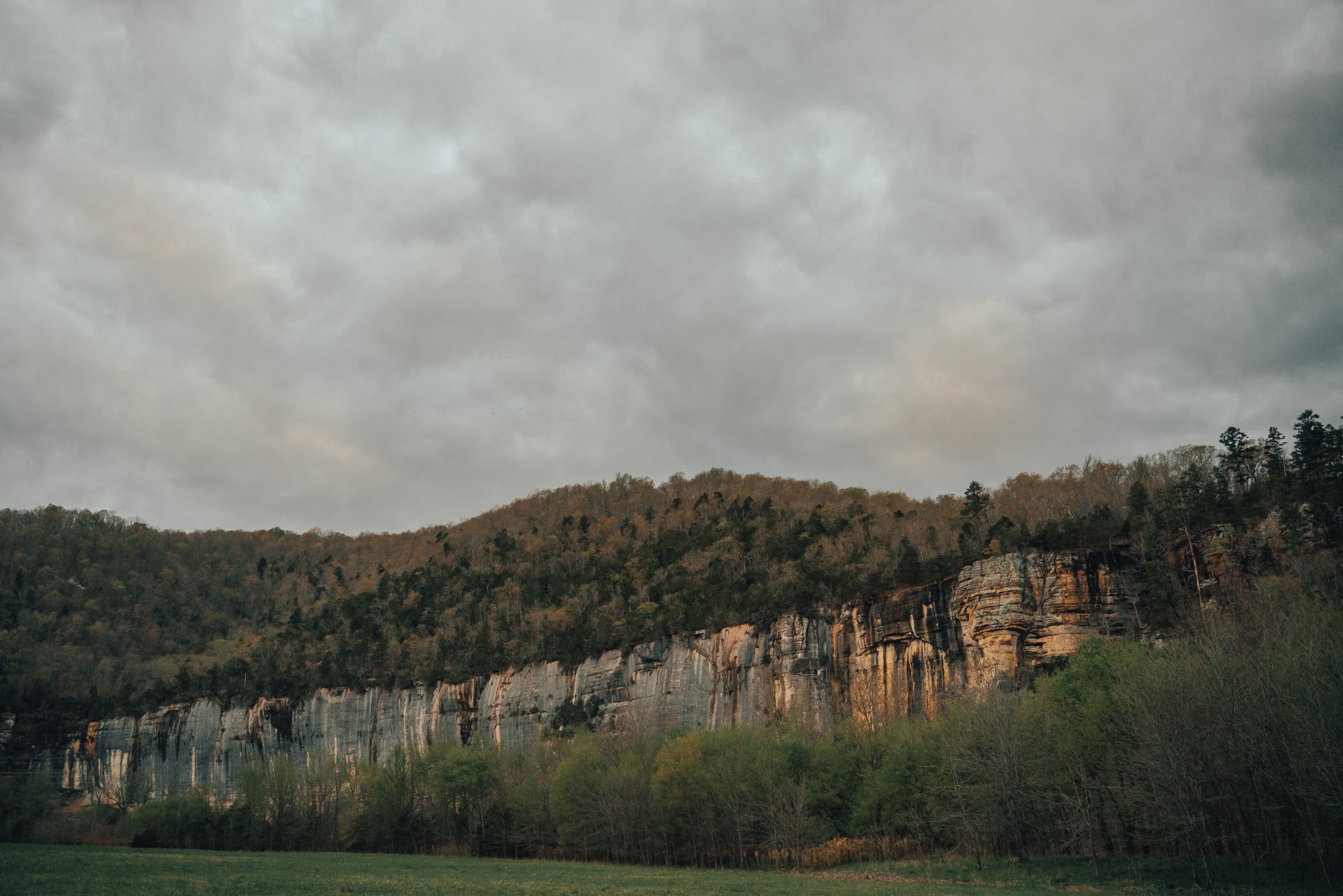
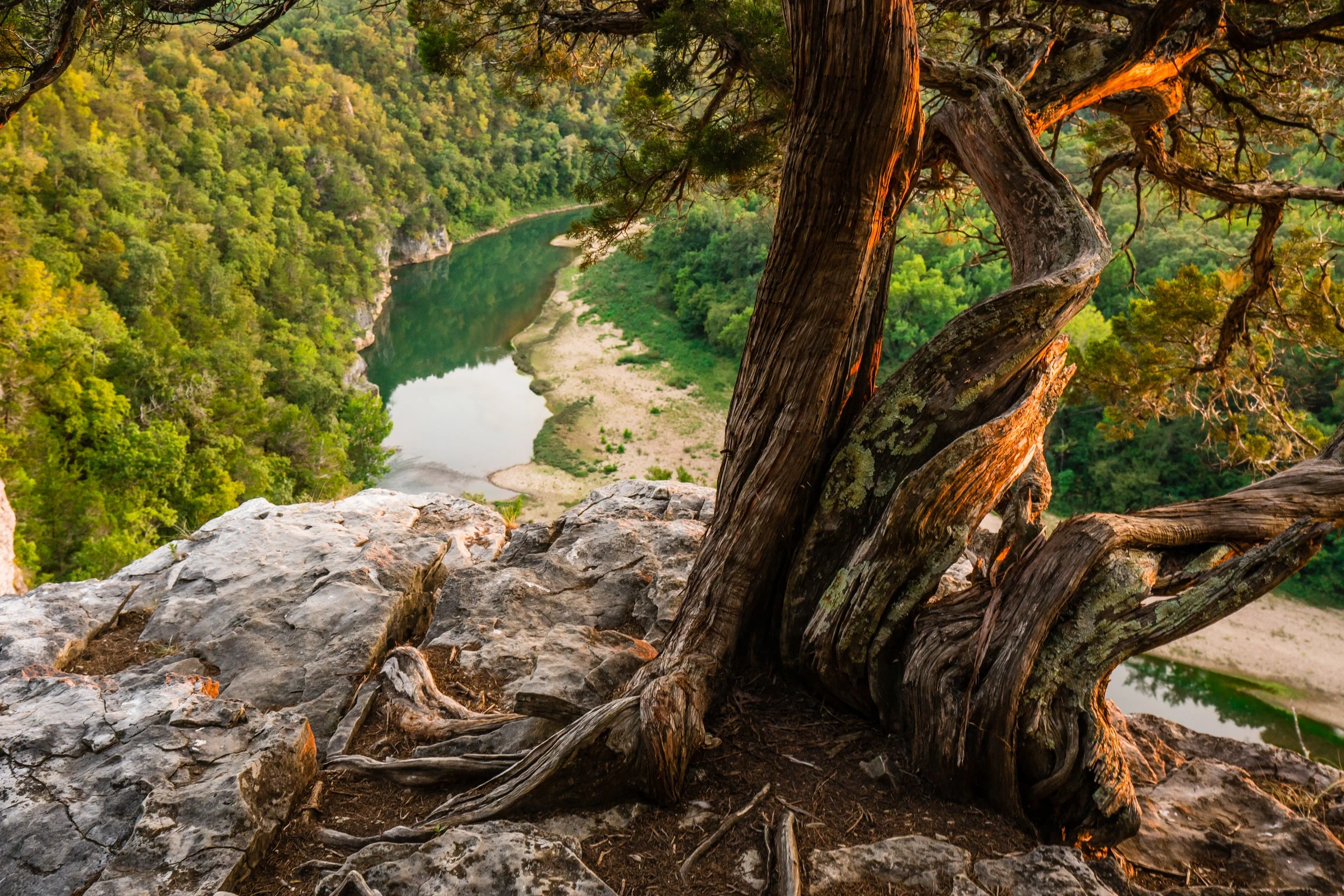
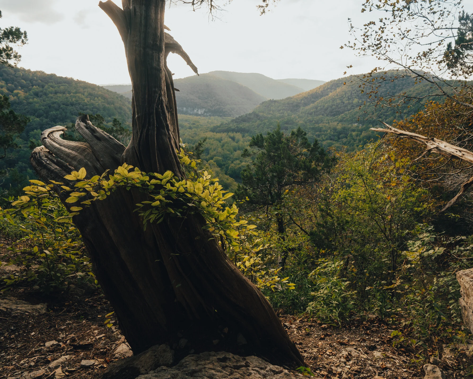
If I had to choose the most scenic viewpoint in Arkansas, then the view from the Goat Trail on Big Bluff over the Buffalo National River would have to be my pick. The vast panoramic views of the Buffalo winding through the mountains and bluffs of the Ponca Wilderness are unique and unparalleled. The bluff itself is "said to be" the tallest sheer vertical cliff face found between the Appalachians and the Rockies, with an estimated height of 560 feet! However, the Goat Trail runs along this cliff face at around 340 feet above the river.
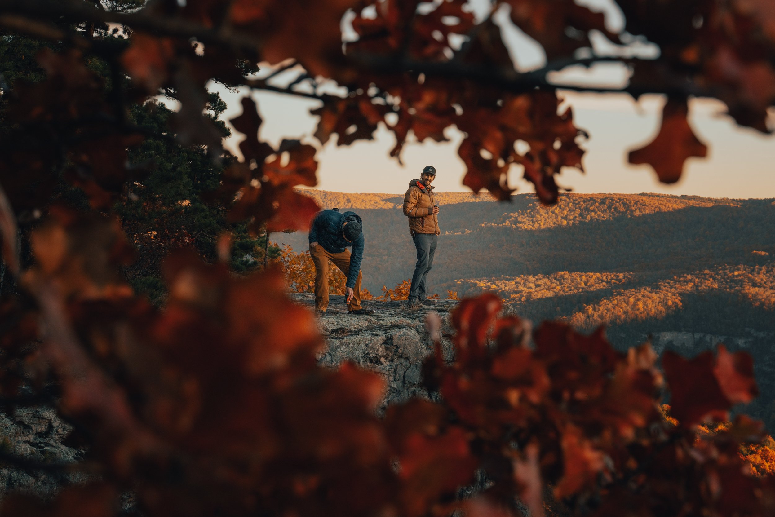
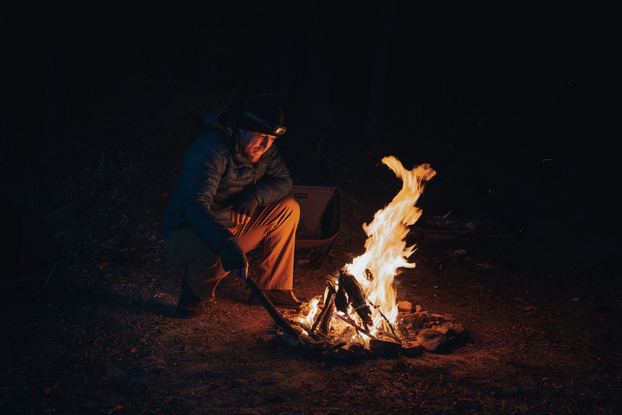
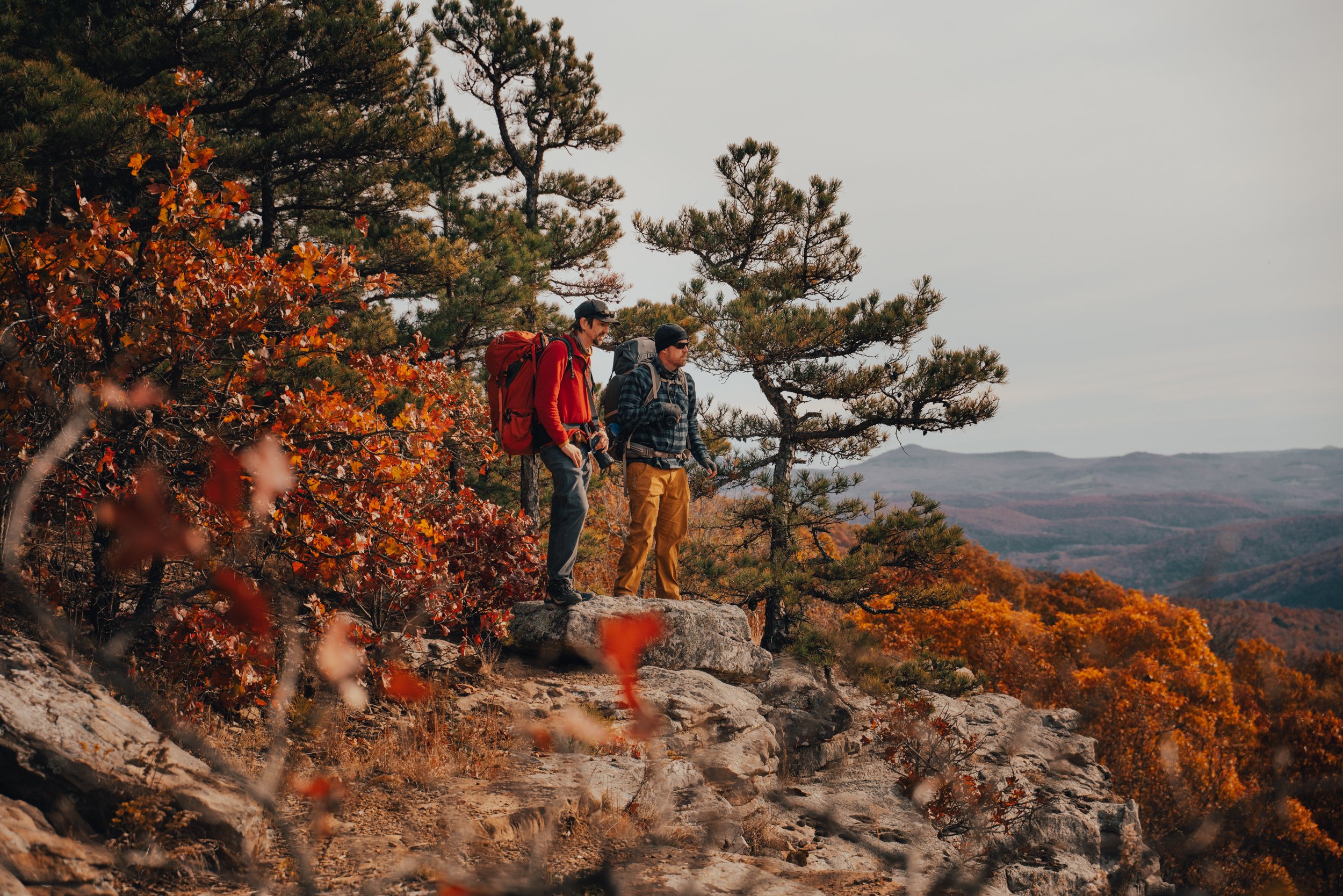
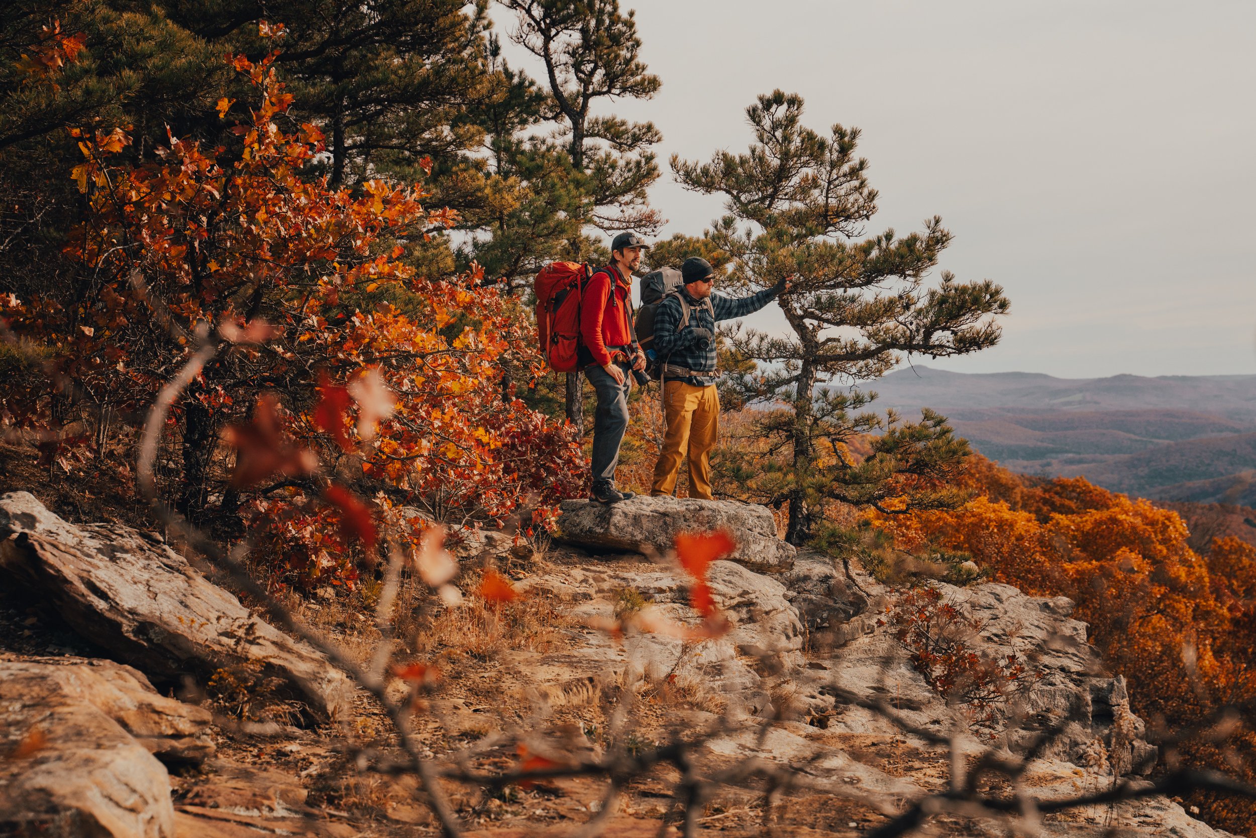
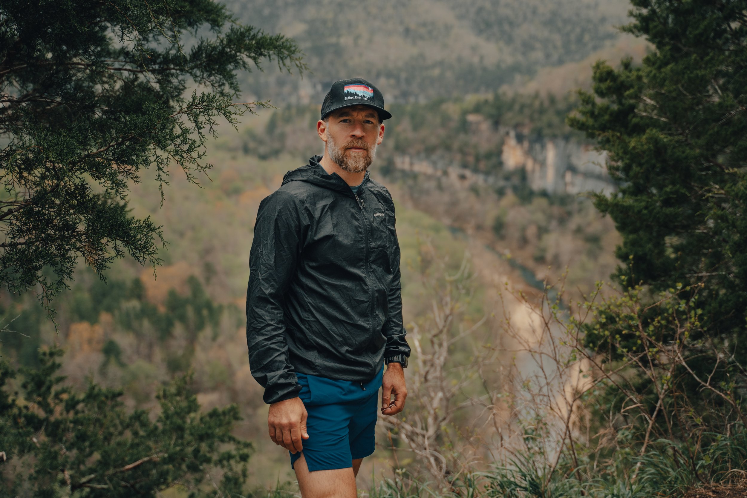
On Tuesday, I decided to make my second hike out to the "big" bluff (this week). Because it's Milky Way season and Sunday nights attempt to catch the galactic center from the Goat Trail was foiled by dense fog socking me in (However, it did provide some beautiful foggy Monday morning views over the river). This particular evening seemed to have favorable conditions, so with my fingers crossed, MC and I headed over to the Centerpoint Trailhead to make our way down!

Whiteout conditions along the Goat Trail, a hiker illuminates a narrow bend from an alcove in Big Bluff, trying to see through the thick fog that has rolled in with the cooler evening temps. Shot during my first milky way attempt of the week.

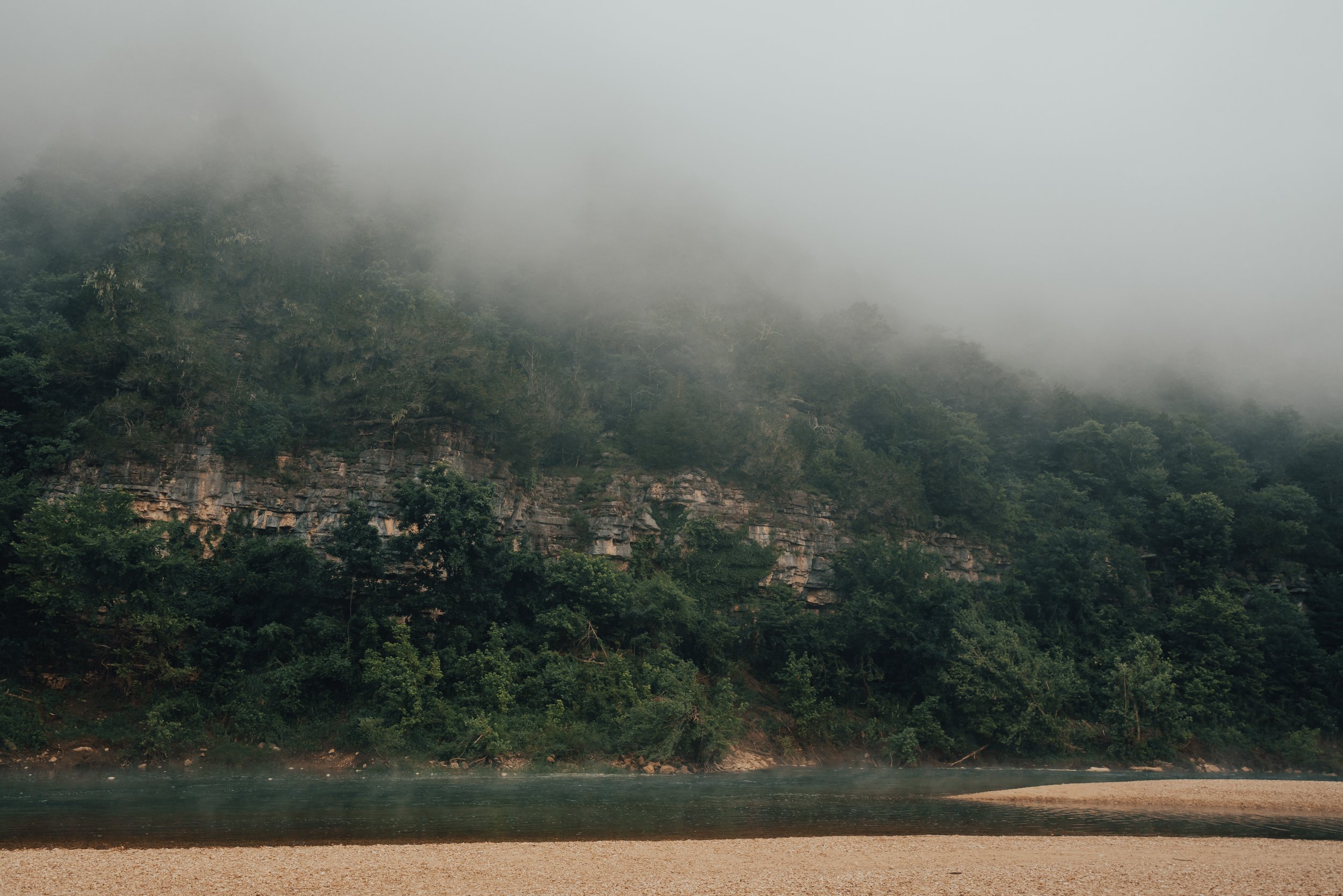
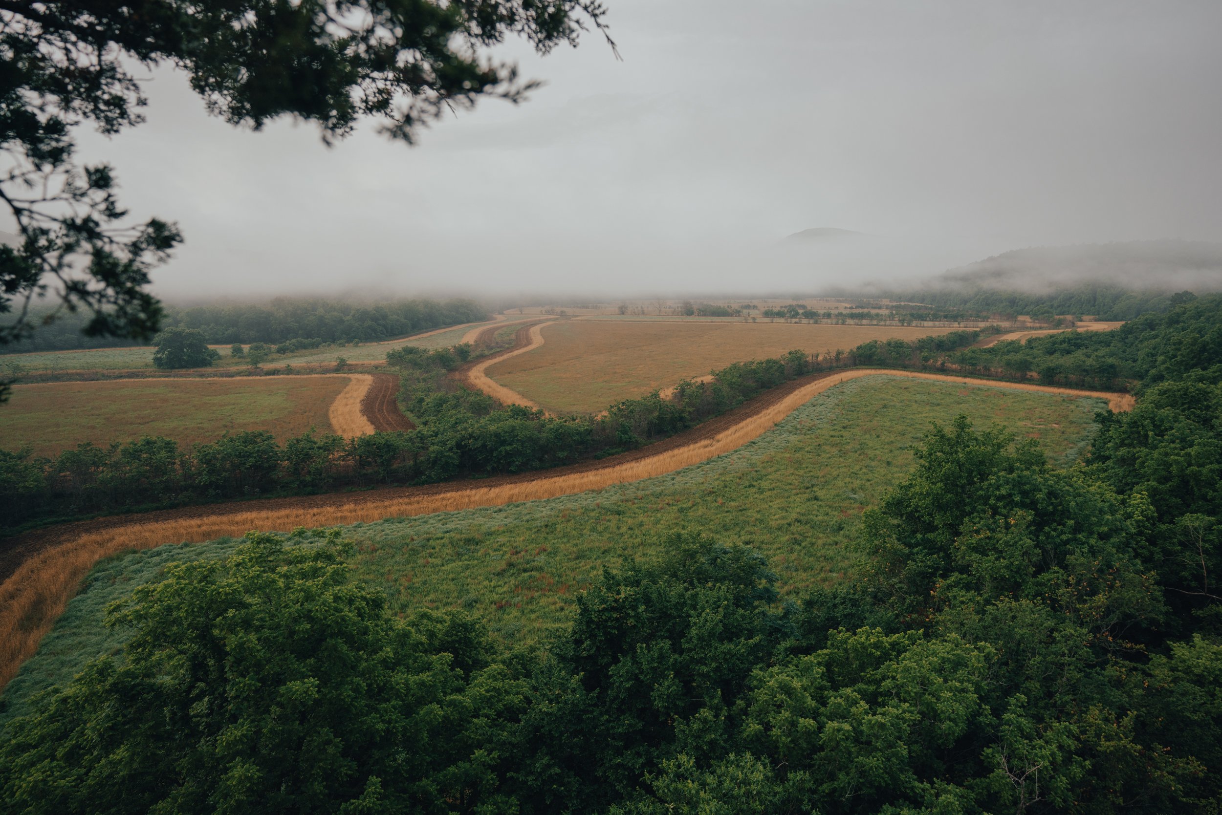
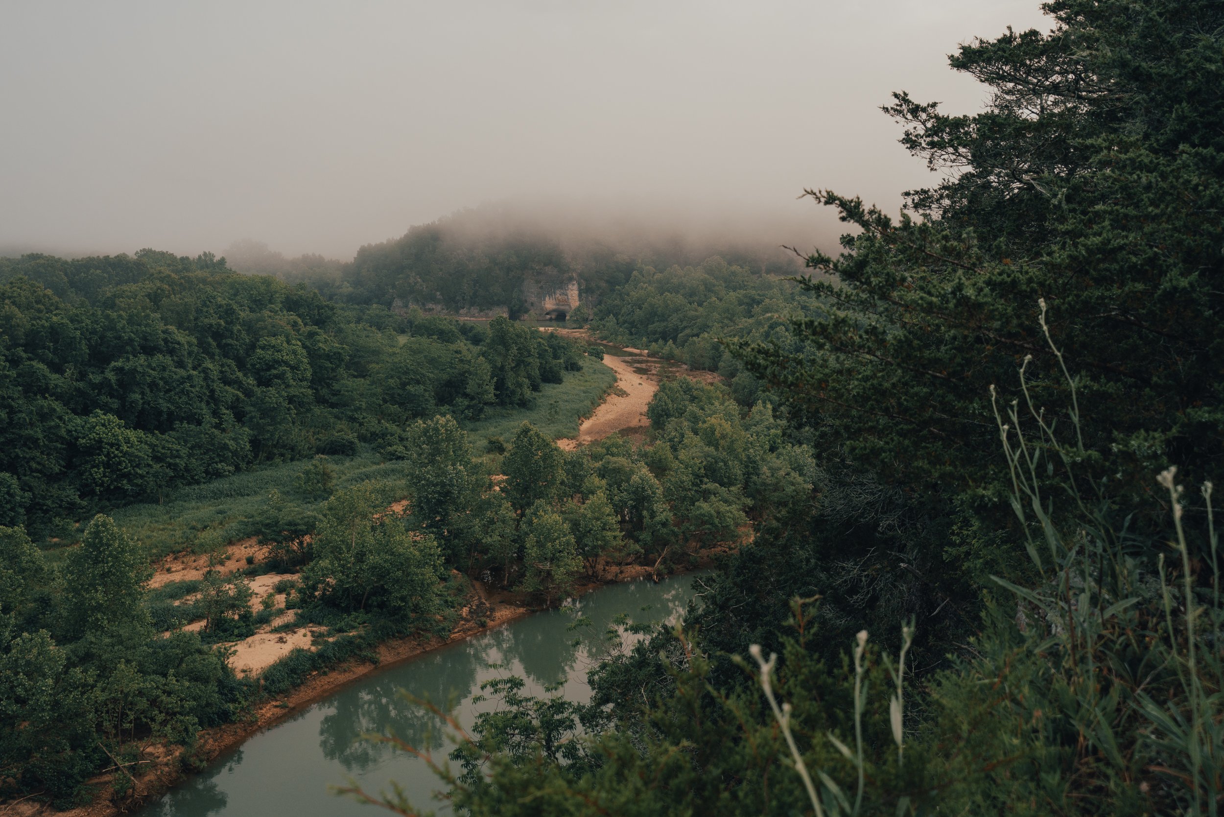
Winding through the fog, the Buffalo River finally begins to emerge from the white veil of haze. Shot the morning after getting socked in by fog on the Goat Trail.
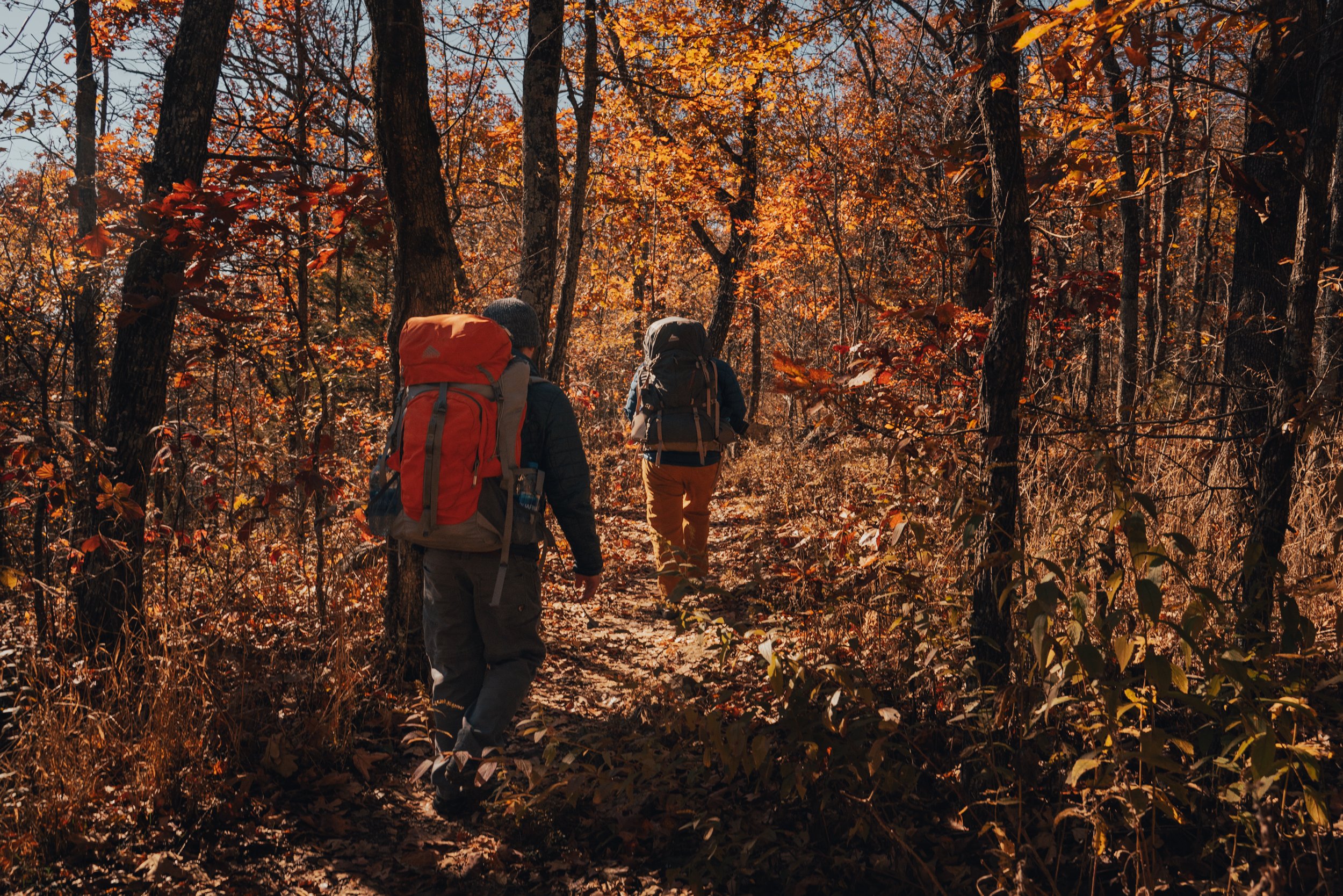
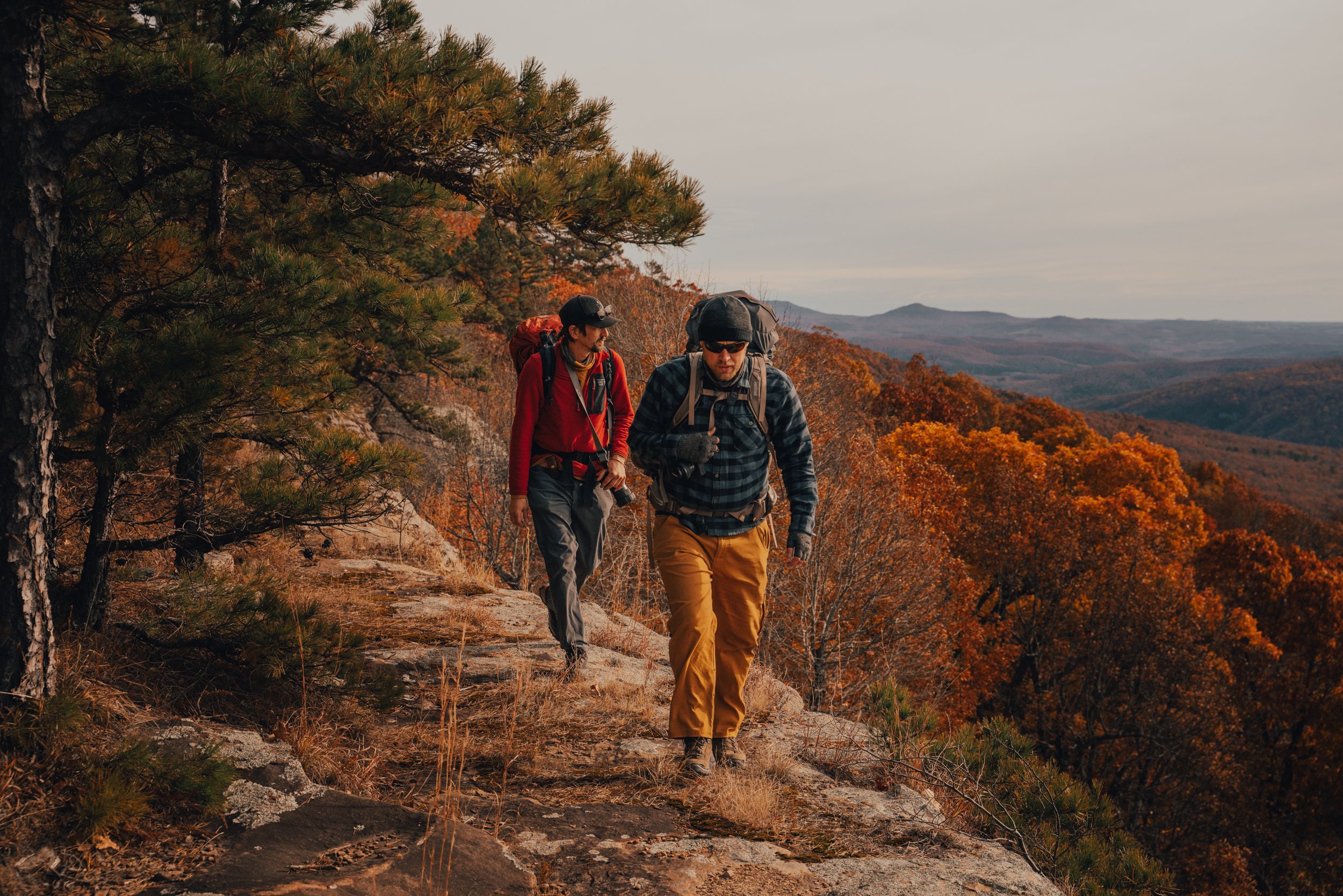
The three-mile hike down the Centerpoint trail went by pretty quickly. I left my camera in my pack and just went full steam down the old road. The descent down to the Goat Trail would be a pleasant stroll if it weren’t for the fact the road has been rutted out so severely by rain erosion and the hooves of horses. I often think about how great it would be if the county could still maintain this road and people could drive down it to get to the Goat Trail. I usually tell people thinking about hiking the trail that it feels like two miles down and six back out thanks to the one thousand plus feet of elevation change from start to finish. Still, the trail is popular enough as it is, and the big hike back out is one of the only things that seem to control those numbers these days slightly.
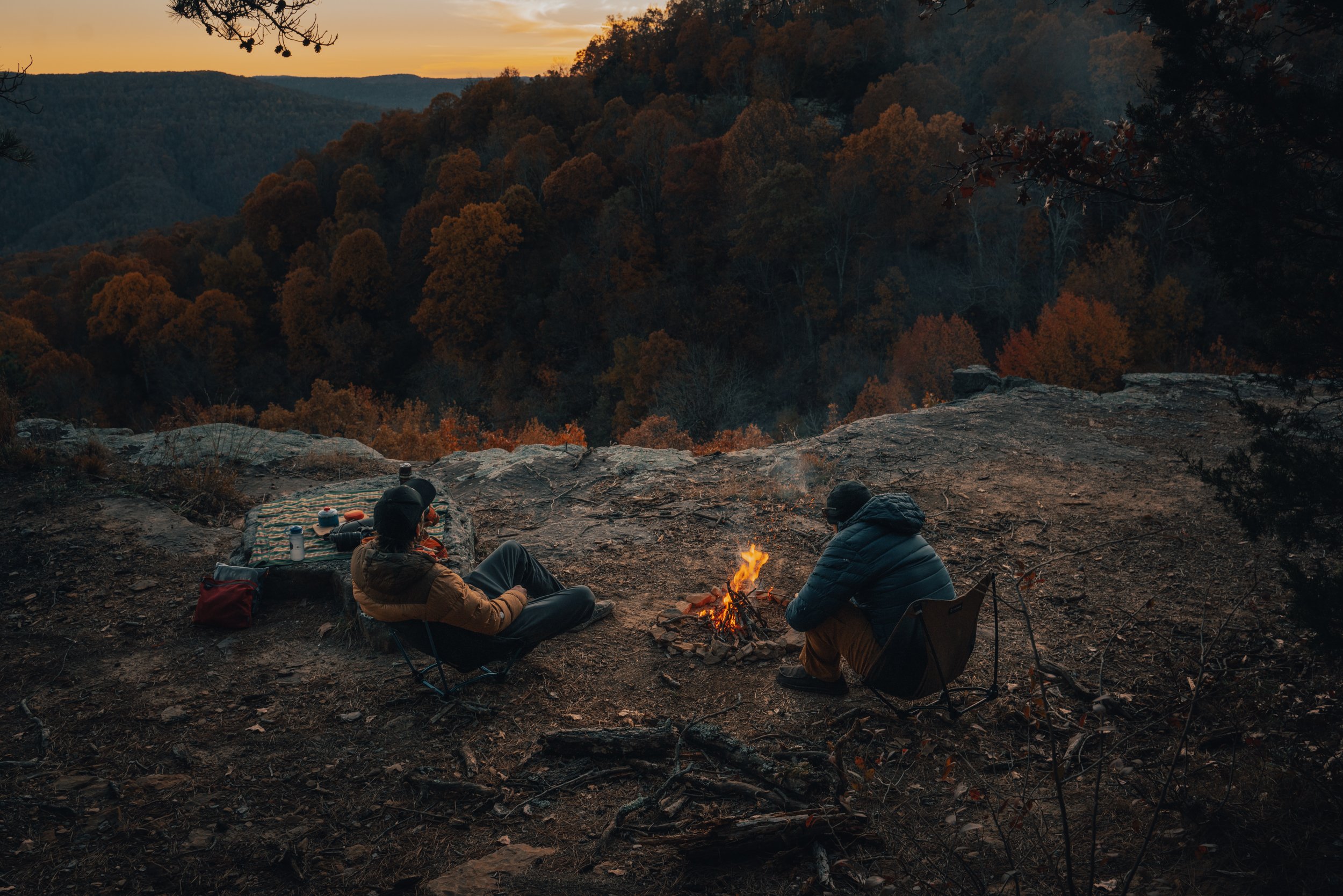
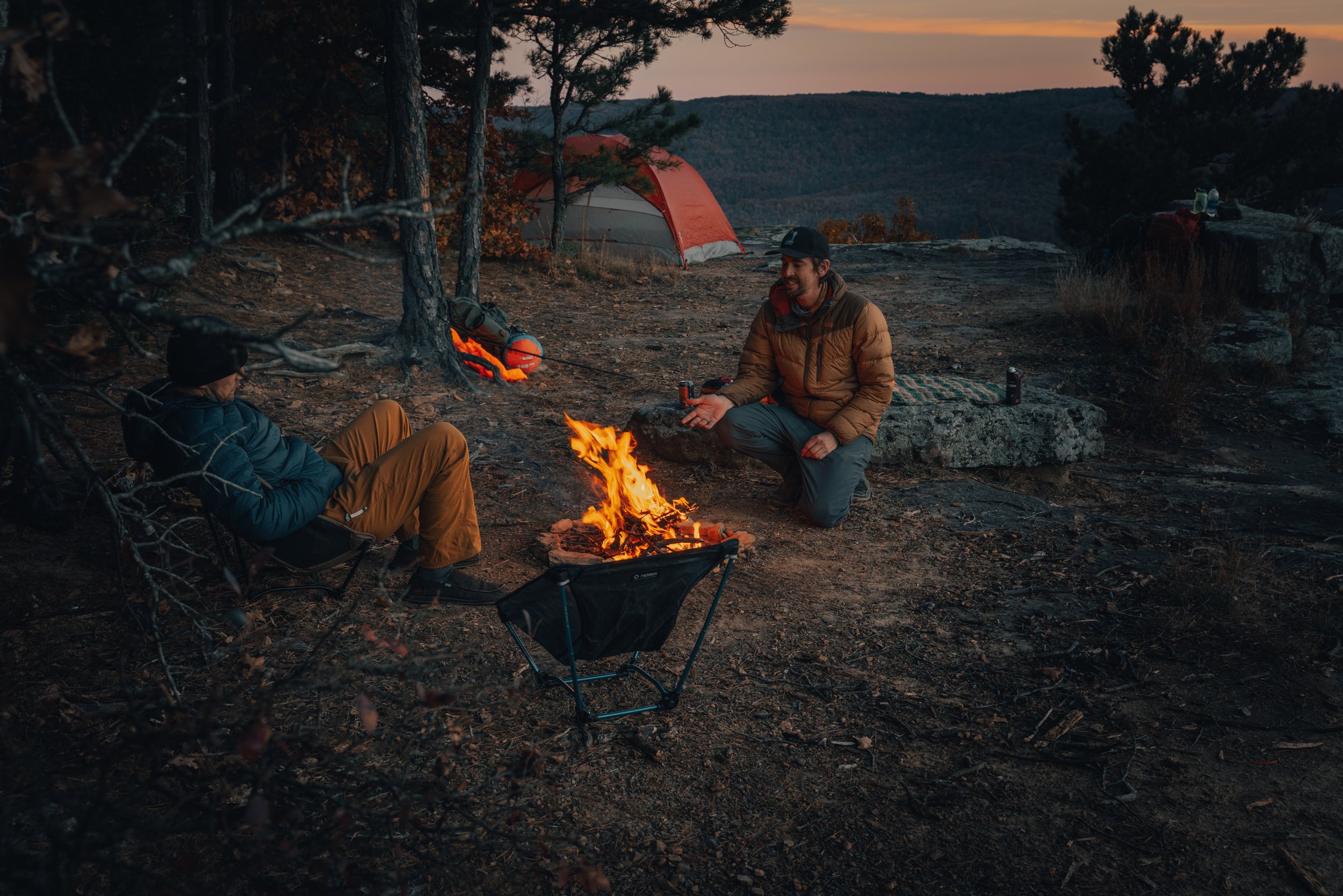
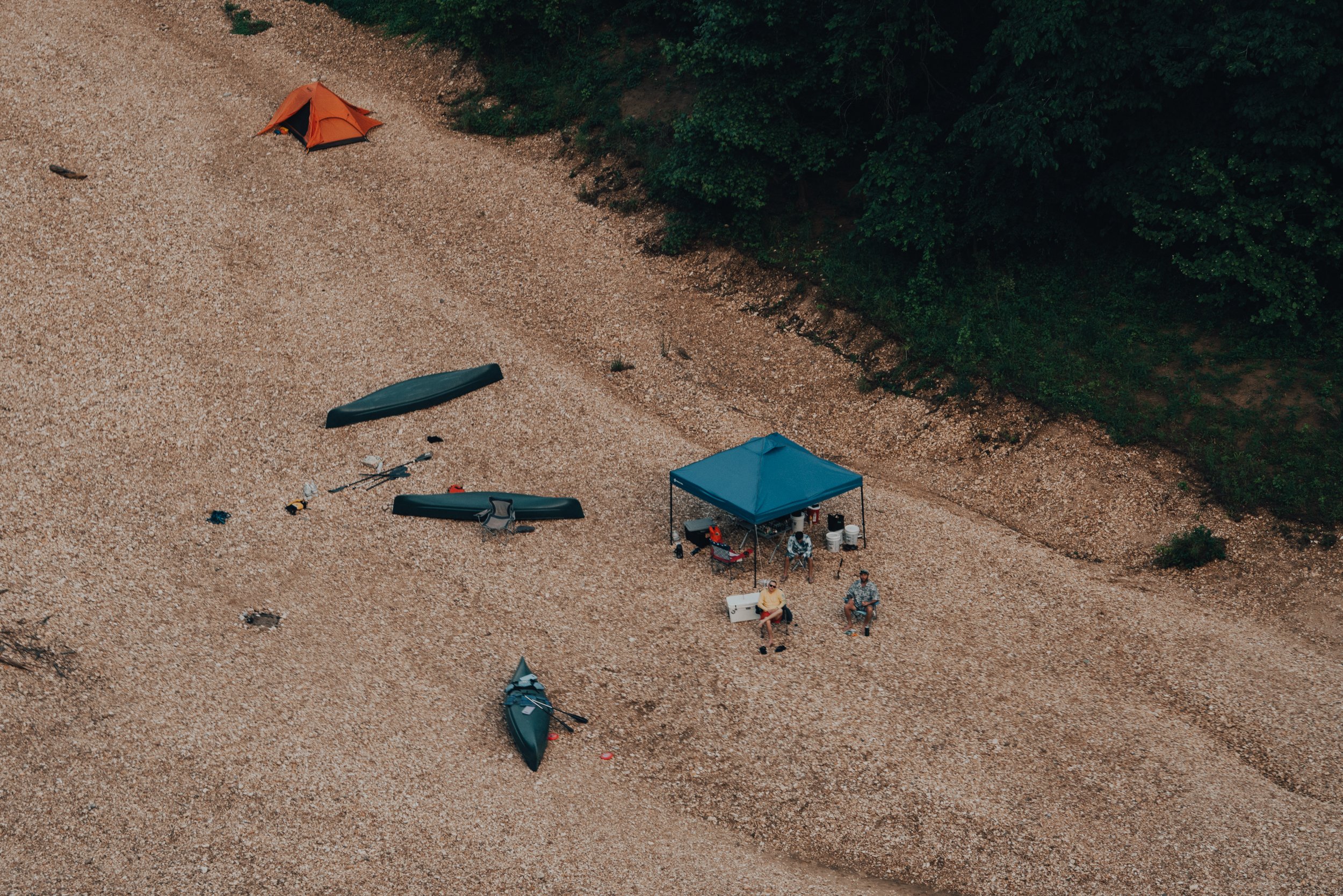
We arrived well before sunset at the fork of the Centerpoint Trail and the Goat trail - found on a large saddle in the mountain with open woods that are perfect for hammocks and an existing fire ring. This large saddle is where I usually try to camp, but several occupants were already there, so we used our extra time to scout out another option for camp. If you take the little well-worn spur trail to the right of the fire pit, it will lead you to Big Bluff, and if you stay straight on the main path, it eventually takes you all the way down to the river.

My usual campsite at the fork of the Centerpoint Trail and the Goat Trail on a large saddle in the mountain with open woods that are perfect for hammocks and an existing fire ring.
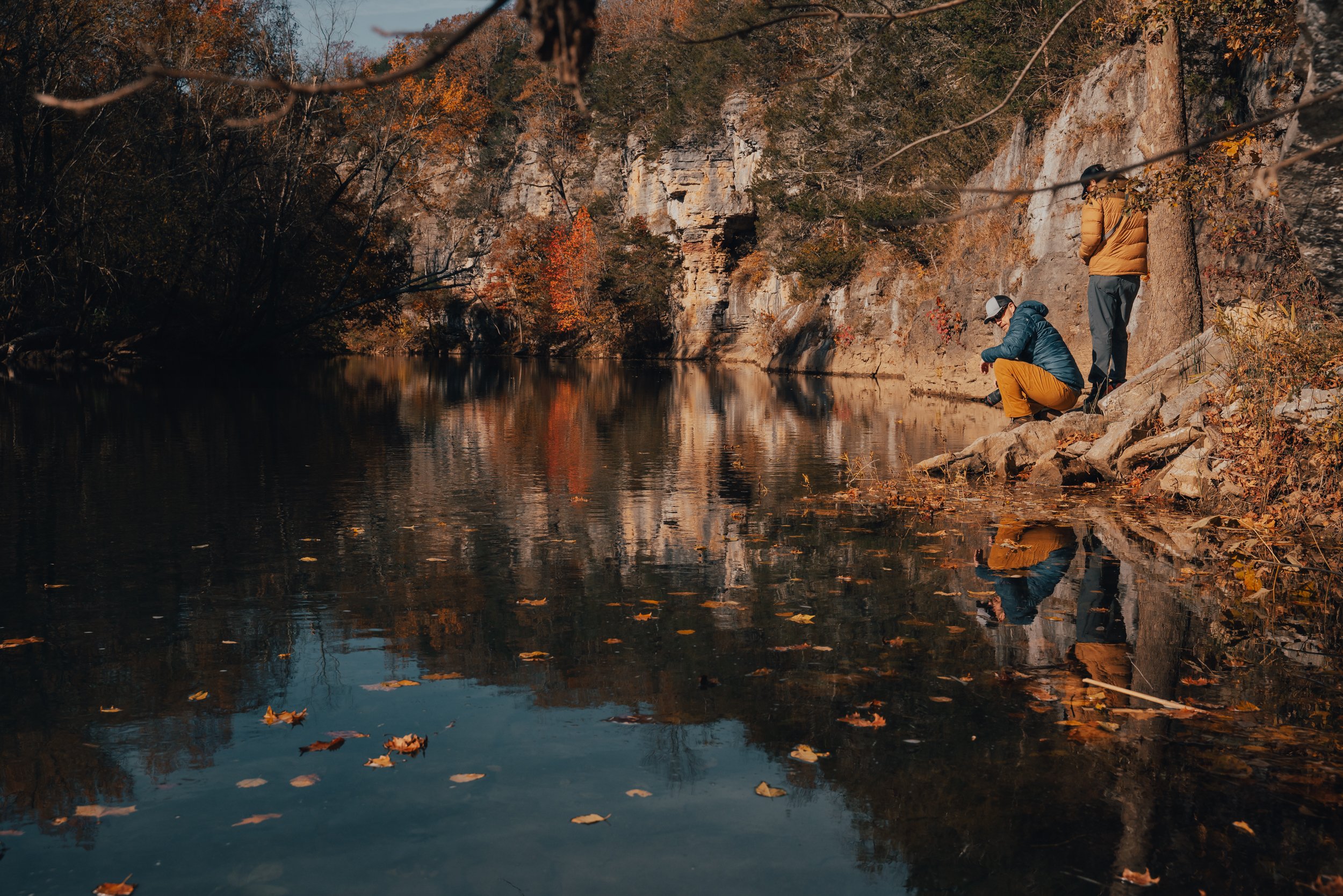
We decided to go to the far end of the Goat Trail and follow the path which leads down to the river to look for campsites off of the bluff (Camping on Big Bluff is prohibited by the National Park Service). We also took a side hike to bushwhack up to the top of Big Bluff and found a few impressive views, but the woods and underbrush were so thick that we decided to make our way back down before making it to the highest point.
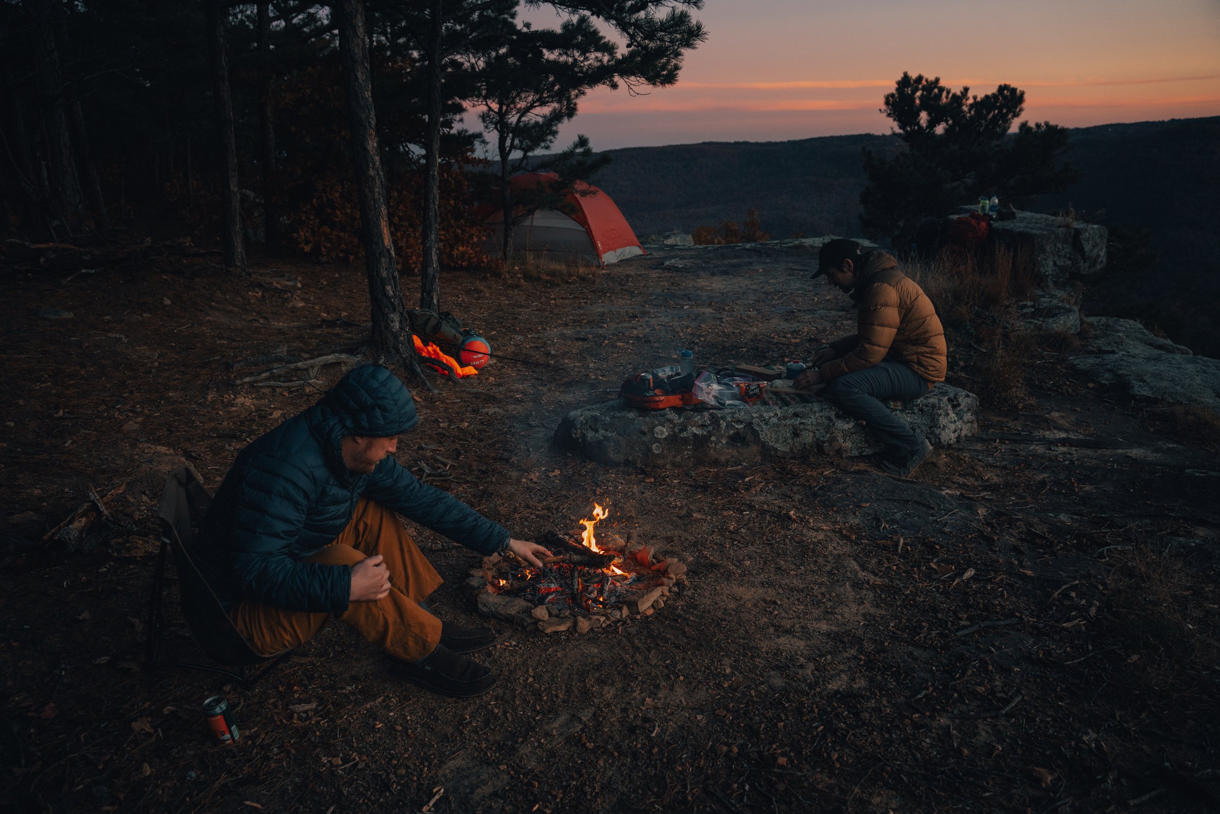
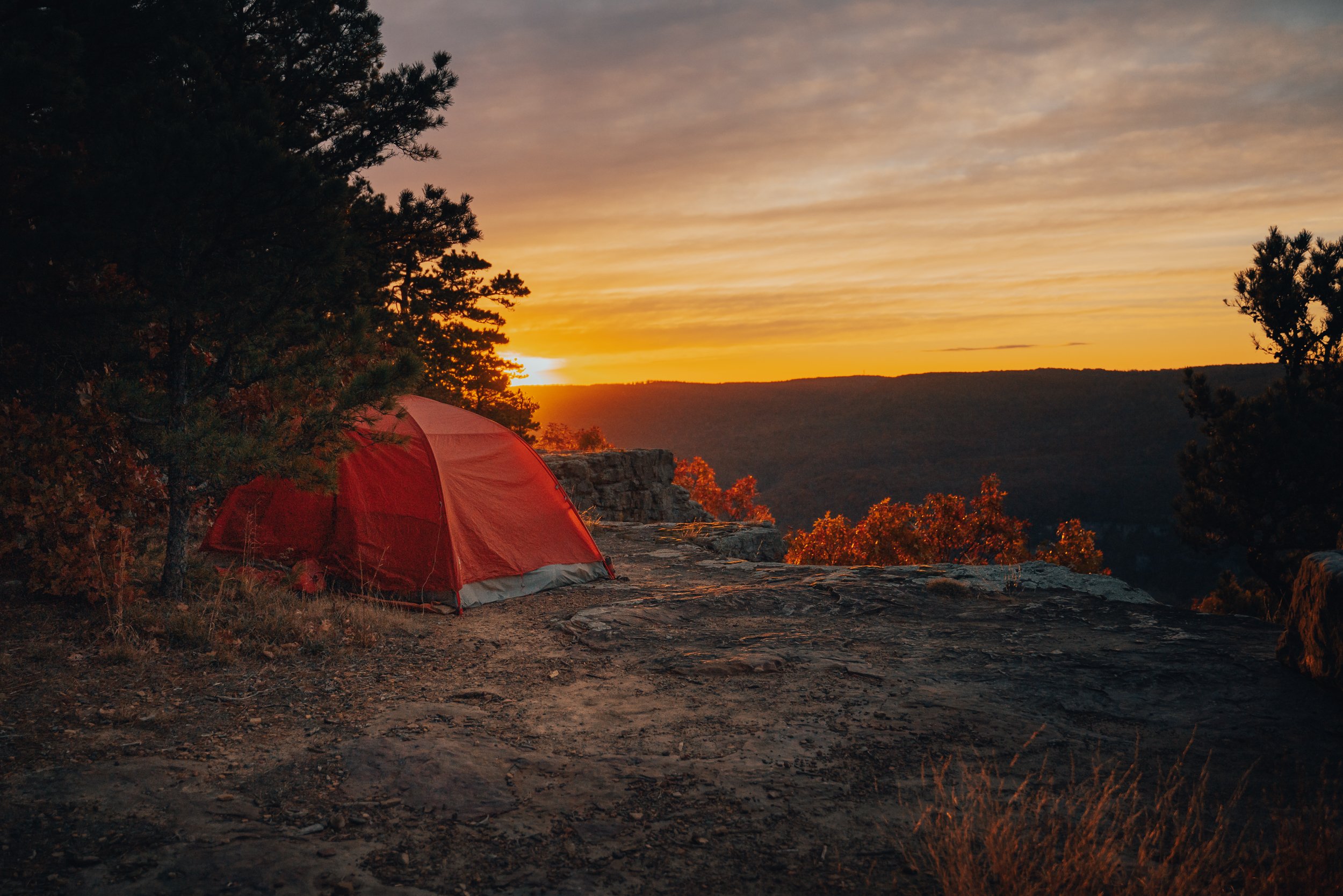
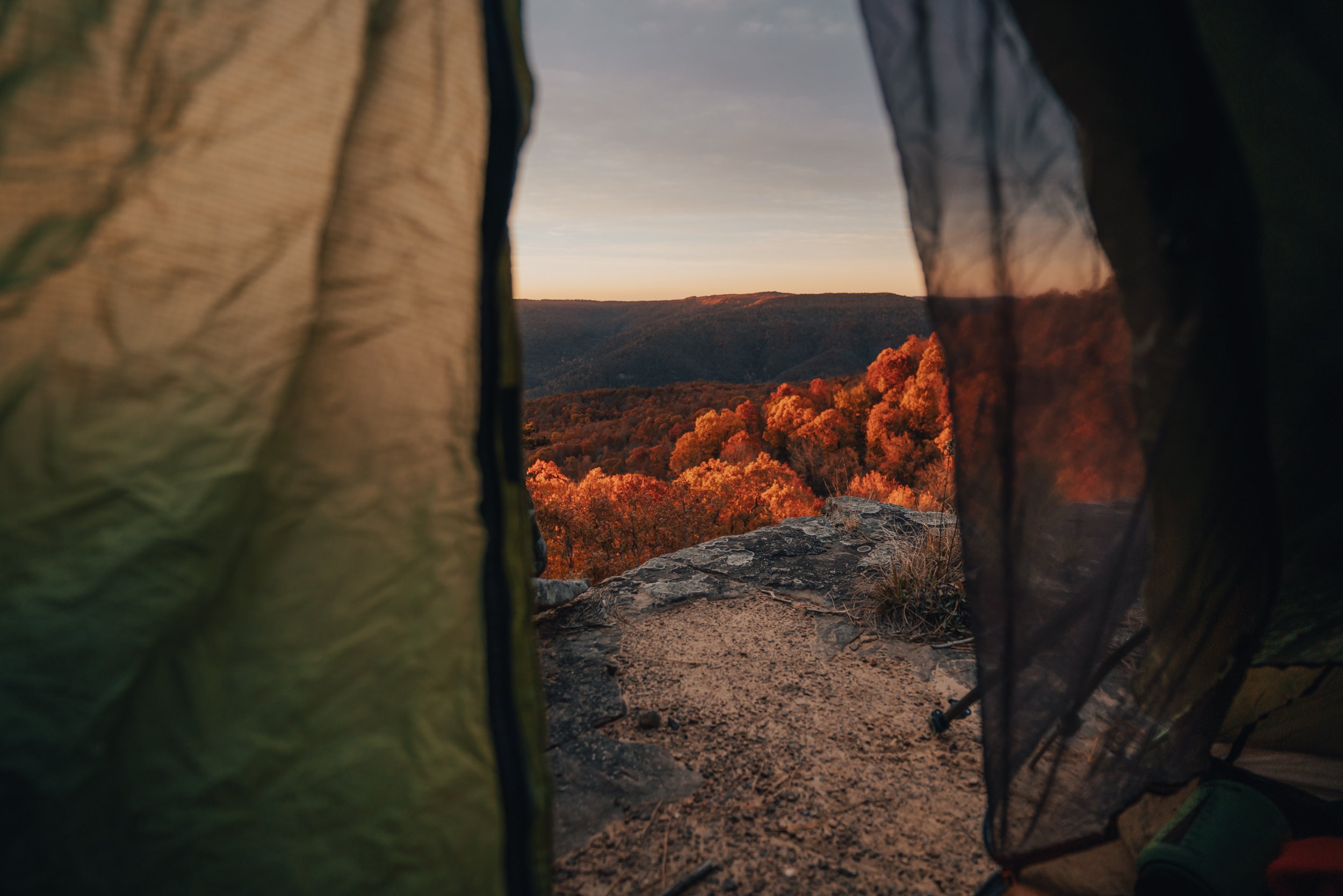
During our excursion, we found a nice campsite away from the bluff, down on a flat open expanse on the mountain's ridge, with some decent trees for hammocks and an existing fire ring. We decided to call this home for the evening and set up our hammocks since it would be well after dark before we made it back.

Making camp on a flat open expanse of forest along the ridge of the mountain past the Goat Trail.
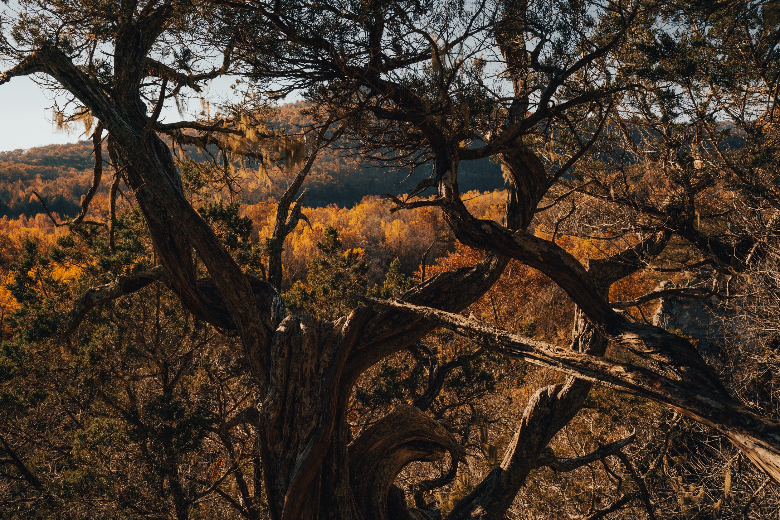
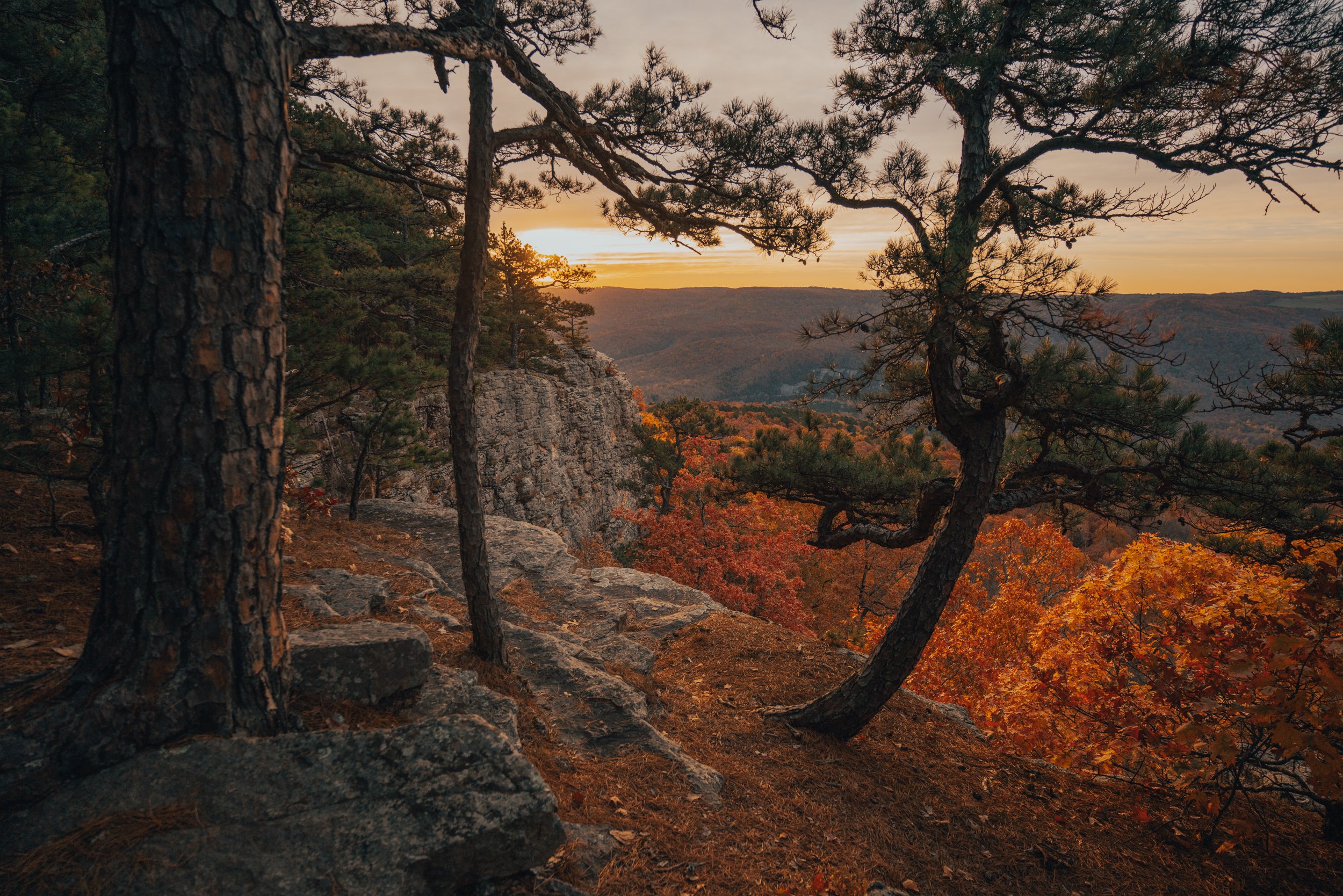
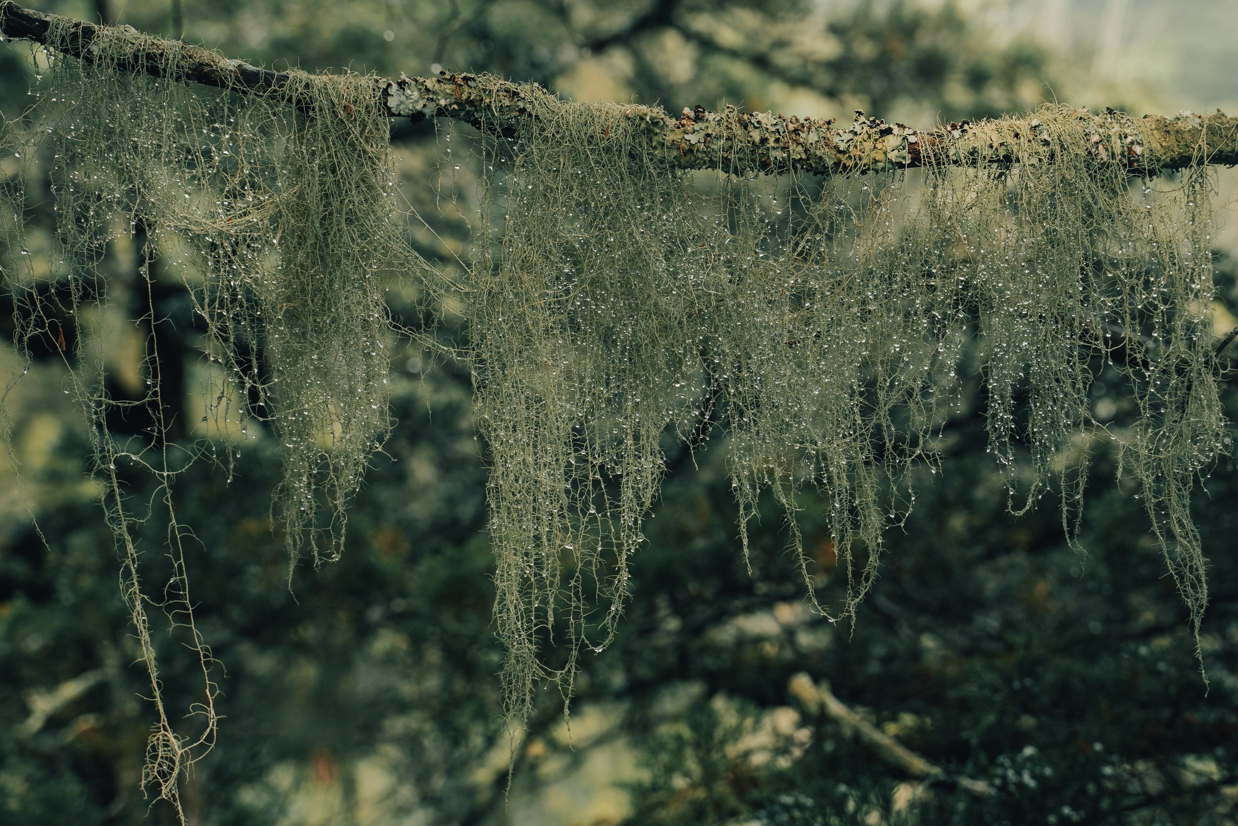
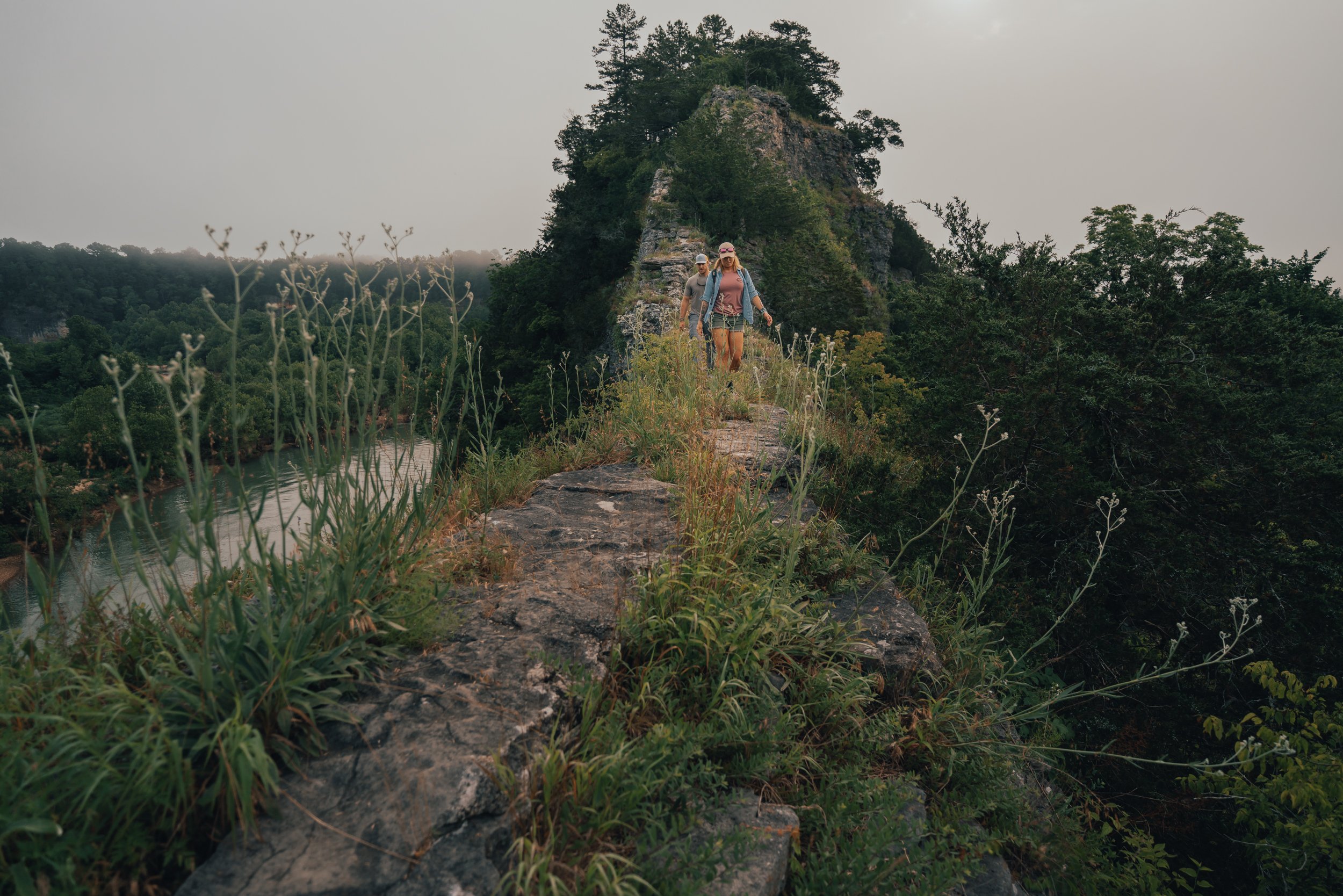
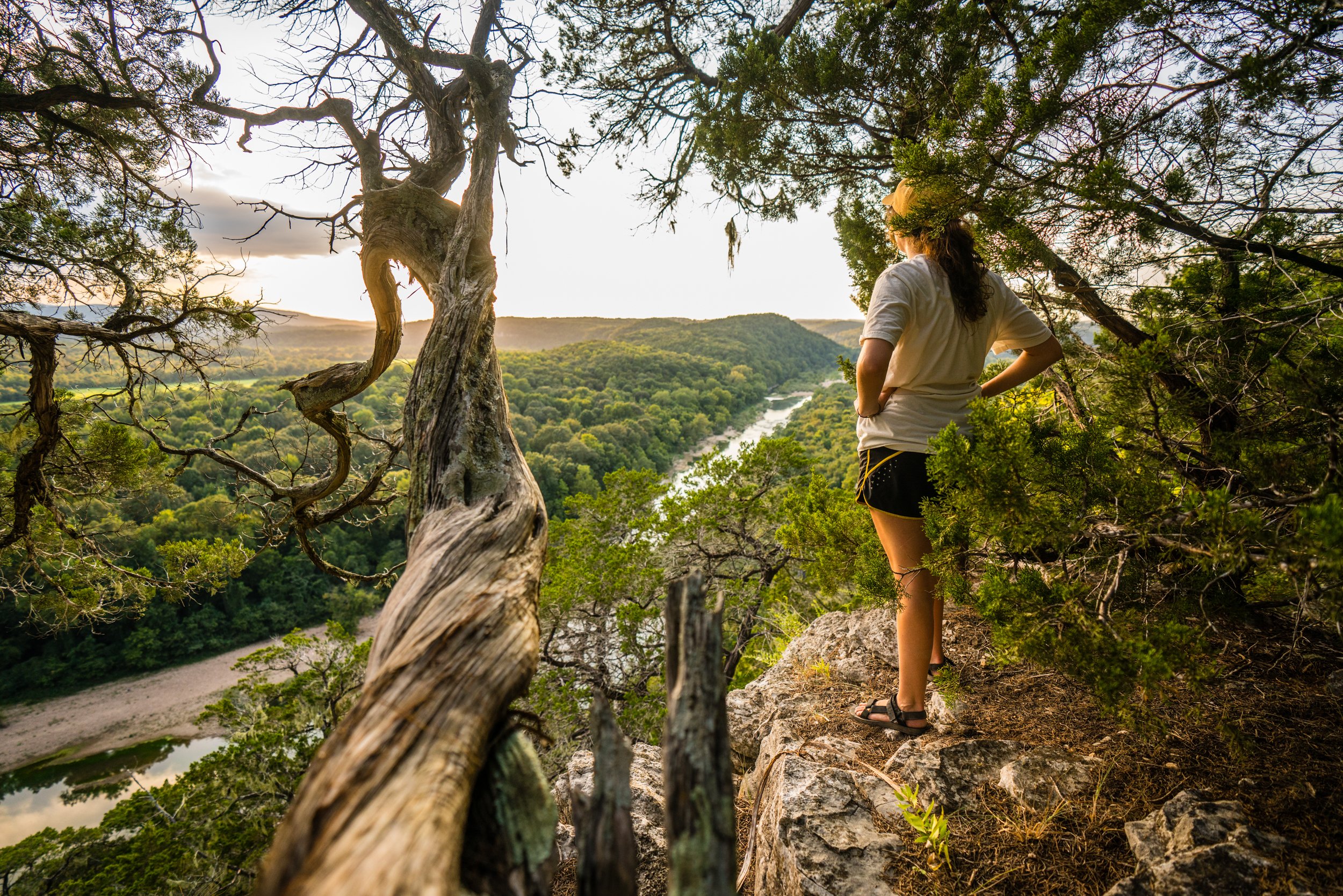
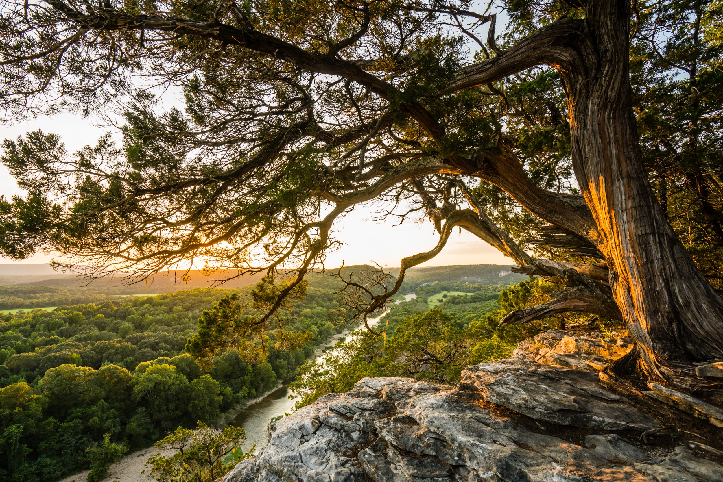
We made our way back toward the overlooks along the goat trail and through one of my favorite areas along the path, which wanders through a thicket of ancient junipers. Some of these trees have been dated back to over 800 years old by the National Park Service! After some time spent with these twisted and weathered beauties, we found our front row seats for sunset on the narrow sandstone ledges of the Goat Trail.
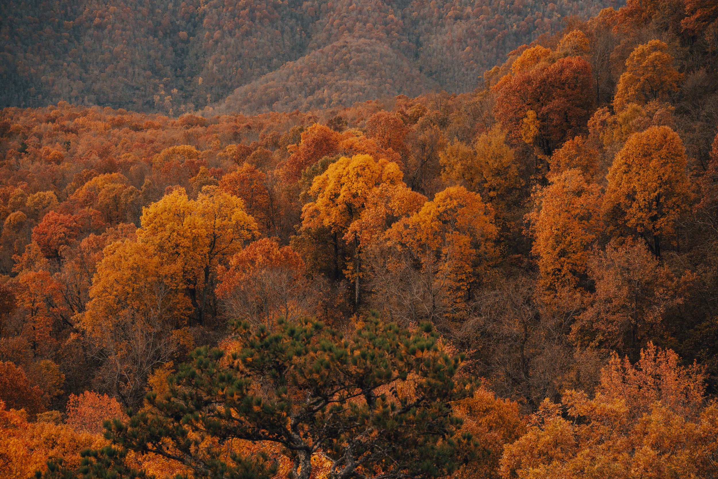
Sunset was more impressive than I had expected it would be - based on the time that the radar showed the clouds were going to move out. We ended up getting to witness a very vibrant and impressive sunset with a 180-degree view of the Buffalo River meandering through the Ozarks.
Ancient Juniper overlooking the Ponca Wilderness from the edge of Big Bluff.

Front-row seat for a sunset on the narrow sandstone ledges of the Goat Trail.
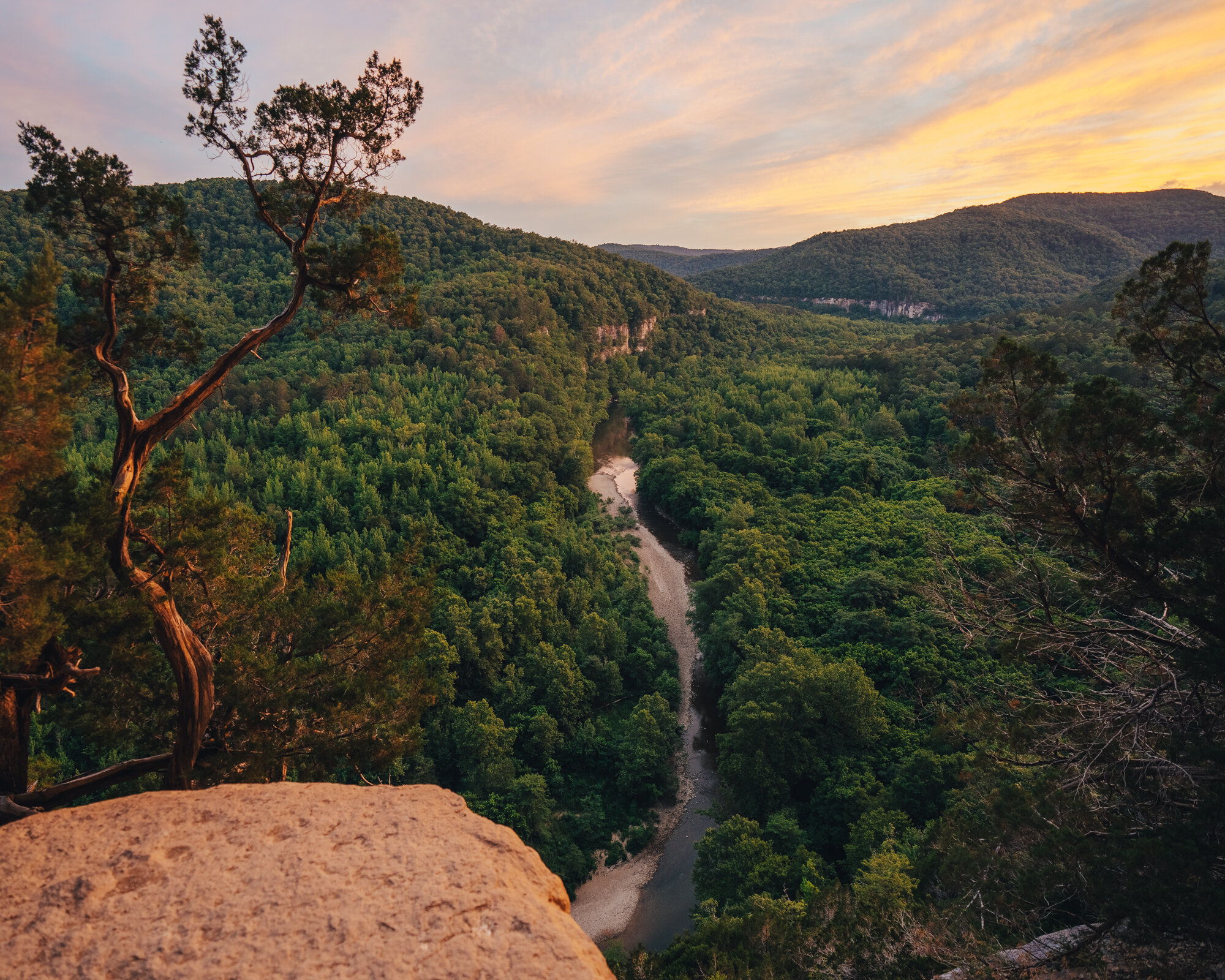
The Buffalo meandering through the Ozarks viewed from the Goat Trail at sunset.
Toward the end of sunset, we witnessed an incredible show as the moon set along with it. At the same time, lightning bugs began to dart all around the edge of the bluff. We enjoyed the show and ate some snacks we had brought to the bluff side. After the moon set, we still had a little time before the clouds would move completely out and the milky way would be fully visible. Thankfully there didn’t seem to be much moisture in the air, and no fog had begun to form, so it looked like tonight was the night for clear viewing of the milky way from the Goat Trail!
Around midnight, the milky way was in the proper position, and clouds had moved out enough for a great view of the galactic center! It was a beautiful sight, and I spent several hours snapping photos before calling it a night.

Moonset and fireflies viewed from the Goat Trail.

Self Portrait below the Milky Way
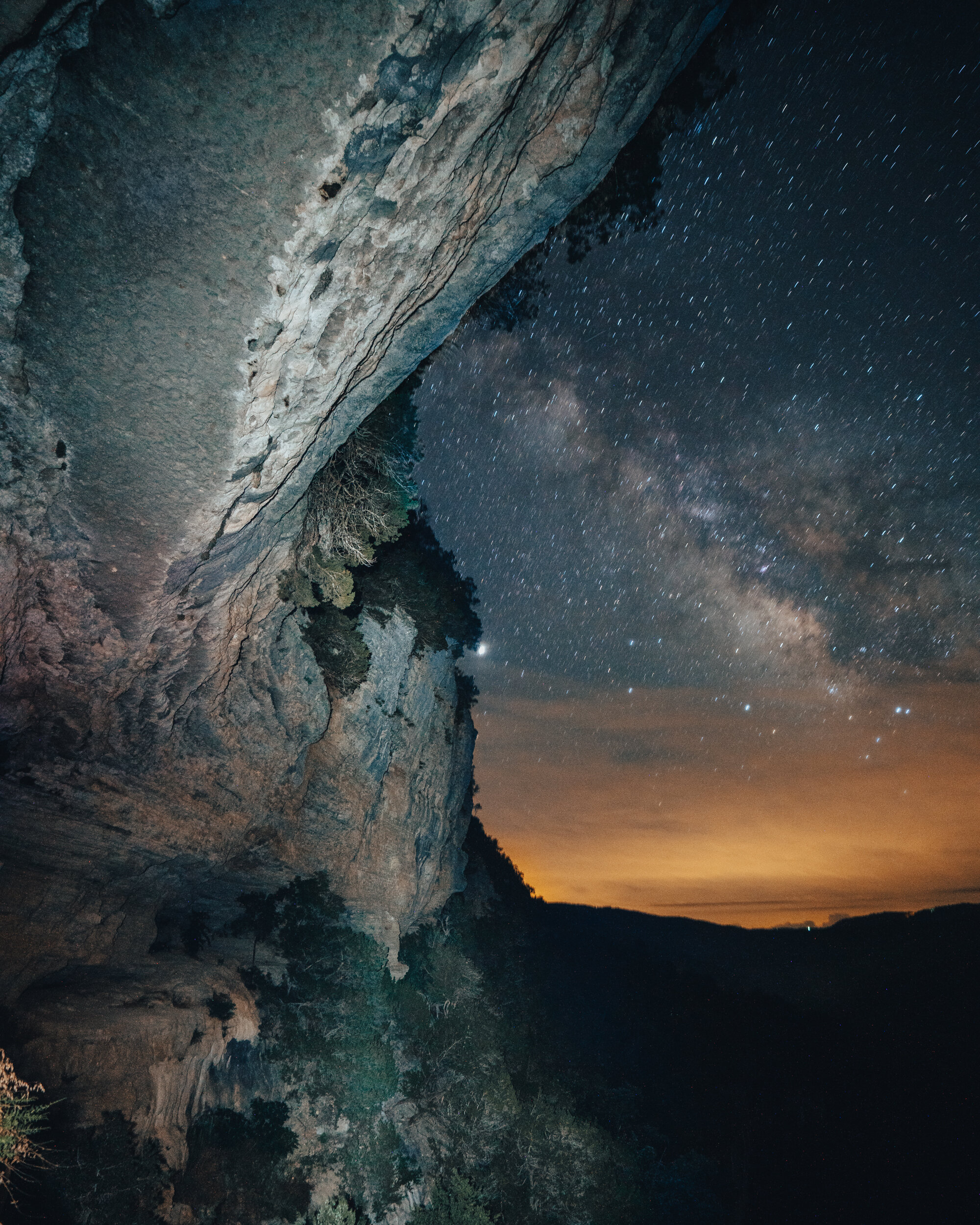
The Milky Way viewed from the Goat Trail on Big Bluff.

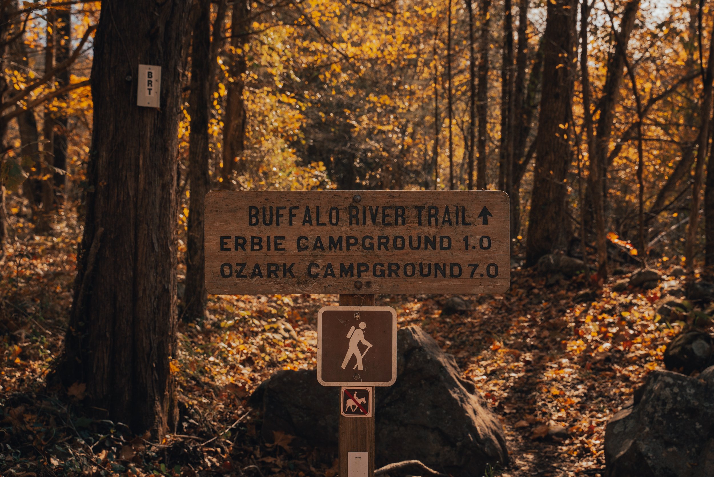
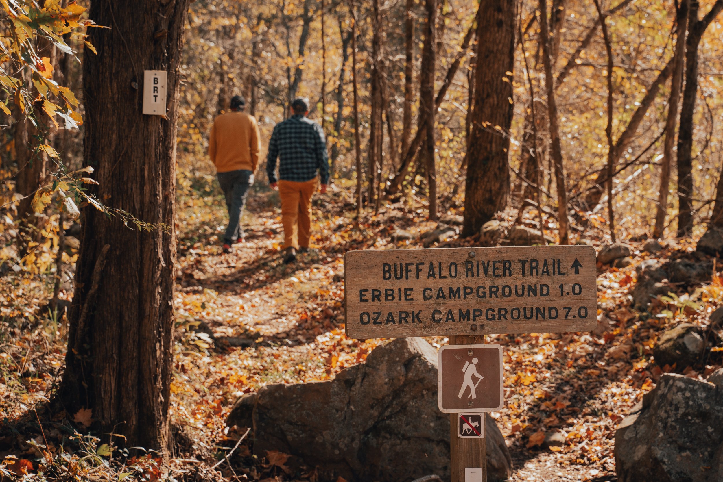
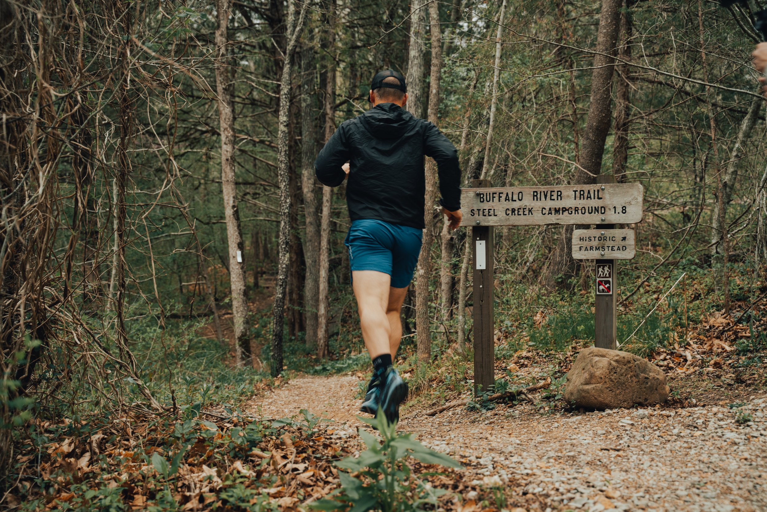
Centerpoint Trail to the Goat Trail
Difficulty: Strenuous Length: 6 Miles Roundtrip Elevation: 1076 ft


Explore the scenic Lost Valley Trail to Eden Falls in Buffalo National River, Arkansas. Discover hiking tips, trail highlights, and stunning photography.